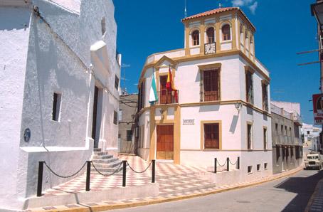
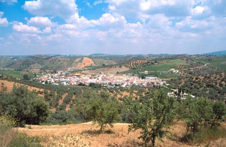
Algámitas
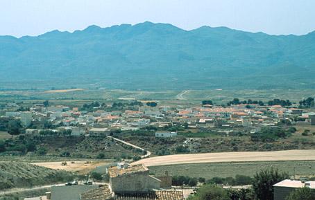
Small municipality belonging to the Campiña district, located in the eastern part of the province, in the Sierra del Tablón near the border with the province of Cadiz, in the midst of a beautiful landscape, including the spectacular Peña de Algámitas.
History
The area has been inhabited since prehistoric times. Its origins are thought to date from a Turduli settlement on the land which is today occupied by the town of Pruna, and extending to the Corbones river. Its name comes from the Hebrew word Halgami, meaning "peak".
The Romans called it Silicens, because of its curious topography.
The Phoenicians and the Greeks also inhabited these lands. During the Roman period it belonged first to the Ulterior province and then to Bética, and is known to have been fairly important as there was a road which joined it with Ronda and Osuna.
During the period of al-Andalus, following the brief domination of the Visigoths, it recovered its importance as an agricultural centre, particularly in the areas that were well irrigated.
It was reconquered by the Christians in the 13th century, at the same time as the kingdom of Seville. During the division of lands of Seville, the king Alphonso X granted the village to the Order of Calatrava. In 1457 it passed into the hands of Rodrigo de Rivera, and then to the domain of the duke of Osuna in the 18th century.
In 1852 it separated from Pruna and received the title of villa.

- Max 22
- Min 13
- Max 71
- Min 55
- °C
- °F