Algar
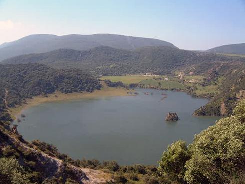
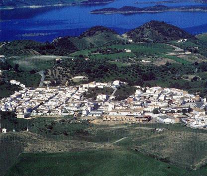
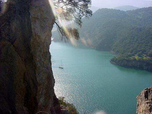
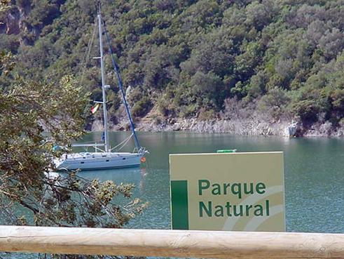
This small borough, through which the Majaceite River, which supplies the Guadalcacin II reservoir, flows, is located between the Las Cabras, Aznar and La Dehesilla mountain ranges and the countryside, though part of it also belongs to Los Alcornocales Natural Park, where El Tajo del Aguila gorge is a prominent feature.
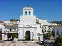
The village, part of the White Village Route, is made up of steep streets which are clean and well looked-after sweeping across a hill of green fields.
History
It has also been called Santa María de Guadalupe de Algar. Its name is taken from the place where the original 18th-century settlement appeared, on the pasture lands of Algar, which comes from the Arabic Al-gar meaning "the cave".
It was founded in 1773 by Don Domingo Lopez de Carvajal, Marquis of Atalaya Bermeja, who, according to legend, promised to establish a village in the area after his life was miraculously saved in Mexico. Each of the 90 settlers was given 40 acres of land, 2 cows and a house. These settlers were originally from the villages of Bornos, Ubrique, Benaocaz and Villaluenga del Rosario.
Eminent citizens