
Huétor de Santillán

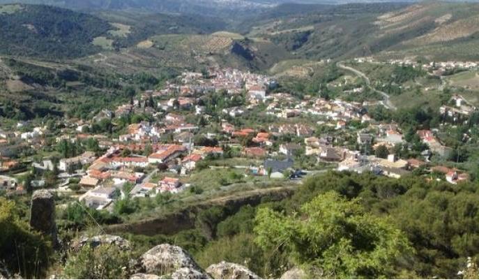
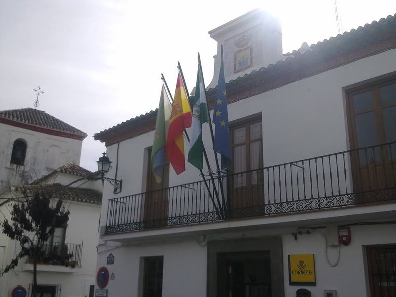
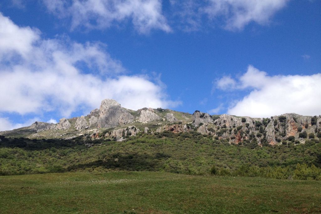
The municipality of Huétor-Santllán, located nearby the city of the Alhambra, forms a part of the Natural Park of the Sierra de Huétor, which gives its name to this village. It can be described as a medium height mountain AREA with dense vegetation of holm and gall oaks and spectacular views. In the old town it is worth visiting the Parish Church, built in the 16th century but very much reformed in the 18th century.
History
Probably Huétor derives from the Arab term wadi, meaning "river". Santillana comes from the name given after the Christian conquest when the village acquires devotion to St Illán (San Ylián) or Santillana. It was a Villa de Señorío, owned by the Jesuits in Madrid.The Moors uprising against the Catholic authority of King Phillip II in the 16th century was recorded in the chronicles that refer to Huétor-Santillán, which mention the burning and destruction of its church by Mudéjares rebels.
Huétor de Santillán
Municipio

The weather today in Huétor de Santillán
- Max 19
- Min 11
- Max 66
- Min 51
- °C
- °F

Huétor de Santillán
Tourist area
Distance to the capital (km)
12
Altitude above sea level (m)
1022
Extension (Km 2 )
93
No. of Inhabitants
1649
Demonym
Hueteños
Postal Code
18183
en
Read more


