
Guájares, Los

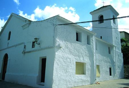
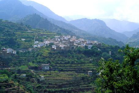
In Sierra de los Guájares, the first mountain step together with Sierra de Lújar that leads from the coast to the southwest face of Sierra Nevada, lie three locations: Guájar-Alto, Guájar-Faragüit and Guájar-Fondón, which retain the features of the Moorish farmhouses that established them and constituting a municipality as in Arab times. The three locations are watered by River Taha and linked by road.
History
The merging of Guájar Alto, Guájar-Faragúit and Guájar-Fondón gave name to this municipality.The name derives from the term wayer, meaning "the gorges", although others say it means "river of rock roses". It retains the character of the Moorish farmhouses that established it.
Guájares, Los
Municipio

The weather today in Guájares, Los
- Max 18
- Min 15
- Max 64
- Min 59
- °C
- °F
Guájares, Los
Tourist area
Distance to the capital (km)
60
Altitude above sea level (m)
281
Extension (Km 2 )
89
No. of Inhabitants
1361
Demonym
Guajareños, Guajaralteros, FaraGüileros, Fondoneros.
Postal Code
18195
en
Read more
There are no results to show


