
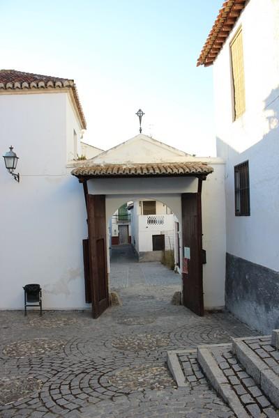
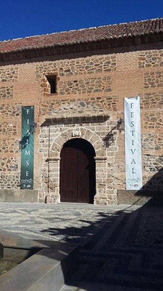
Nigüelas
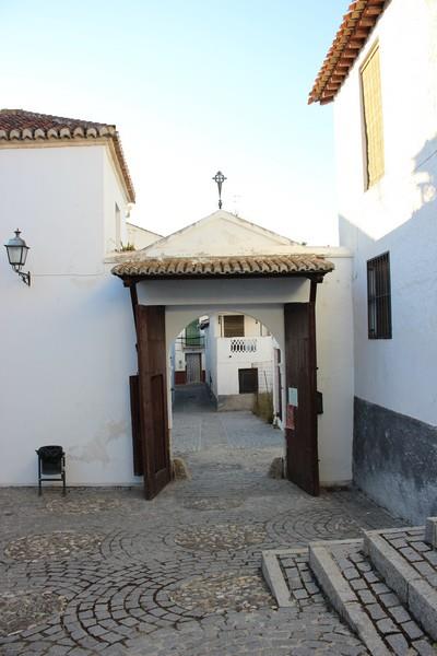
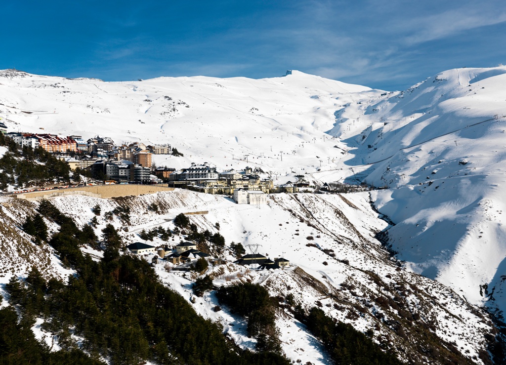
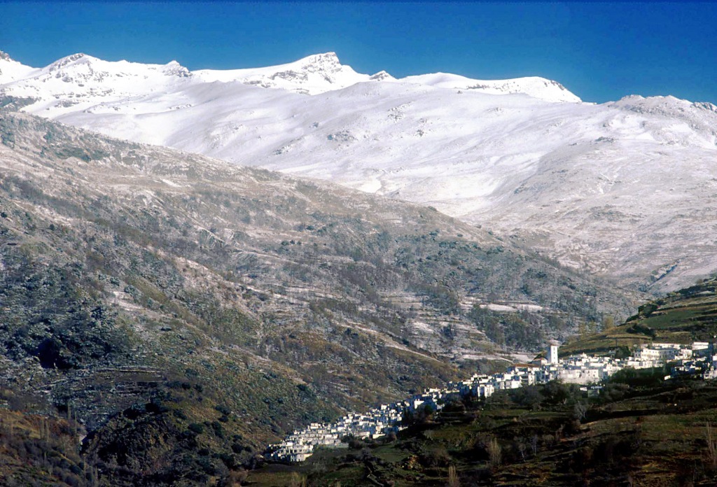
Located south of Granada, on the road between Motril and the coast with the city of Alhambra, at 860 meters above sea level, lies the pass called Suspiro del Moro. From here and towards the coast, opens up the Valle de Lecrín, territory that runs along the western slopes of Sierra Nevada and has a natural boundary to the south, the Sierra de Los Guájares. This area has its own micro climate, tempered and charitable winds giving rise to landscapes of serene beauty where thriving Mediterranean crops.
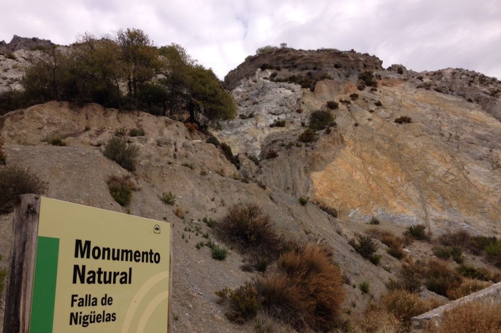
In this valley lies Nigüelas, whose municipality is part of the Natural Park of Sierra Nevada. Here there are places such as Cerro del Caballo, with an altitude of 3300 meters, and it is one of the highest in the area.
History
The old Niwalas was a part of the Taha de Padul, and together with other villages of the valley constituted the Arab districts that occupied the limit and the western threshold of the mountain range.Nigüelas
Municipio

The weather today in Nigüelas
- Max 22
- Min 12
- Max 71
- Min 53
- °C
- °F


Nigüelas
Tourist area
Distance to the capital (km)
33
Altitude above sea level (m)
926
Extension (Km 2 )
31
No. of Inhabitants
1132
Demonym
Nigüeleños
Postal Code
18657
en
Read more


