Níjar

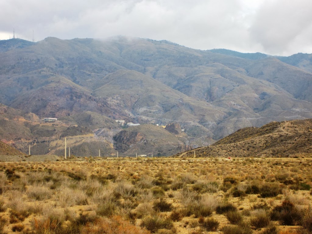
Nijar municipality, one of the largest of Spain , stretching from the Sierra Alhamilla to Cabo de Gata, with a straight-line distance of 25 km, which gives an idea of the area covered and the diversity and variety of areas of interest that has to visit.
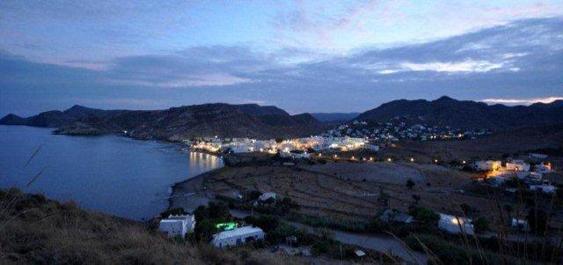
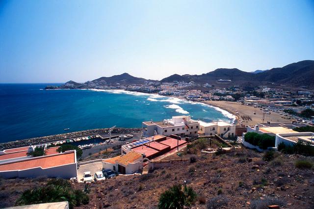
The village is situated at the foot of the mountain range, forming a very attractive group of buildings due to its well preserved structure of Arabic origin, labrynthine, narrow streets, with its white houses, its Mudejar church, its craftwork and the friendliness of its people.
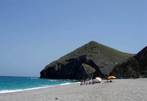
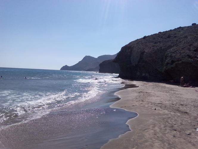
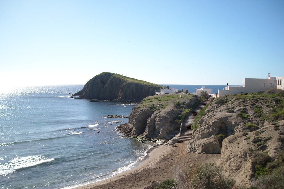
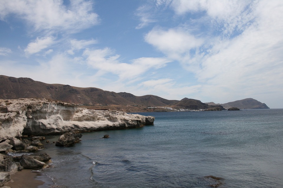
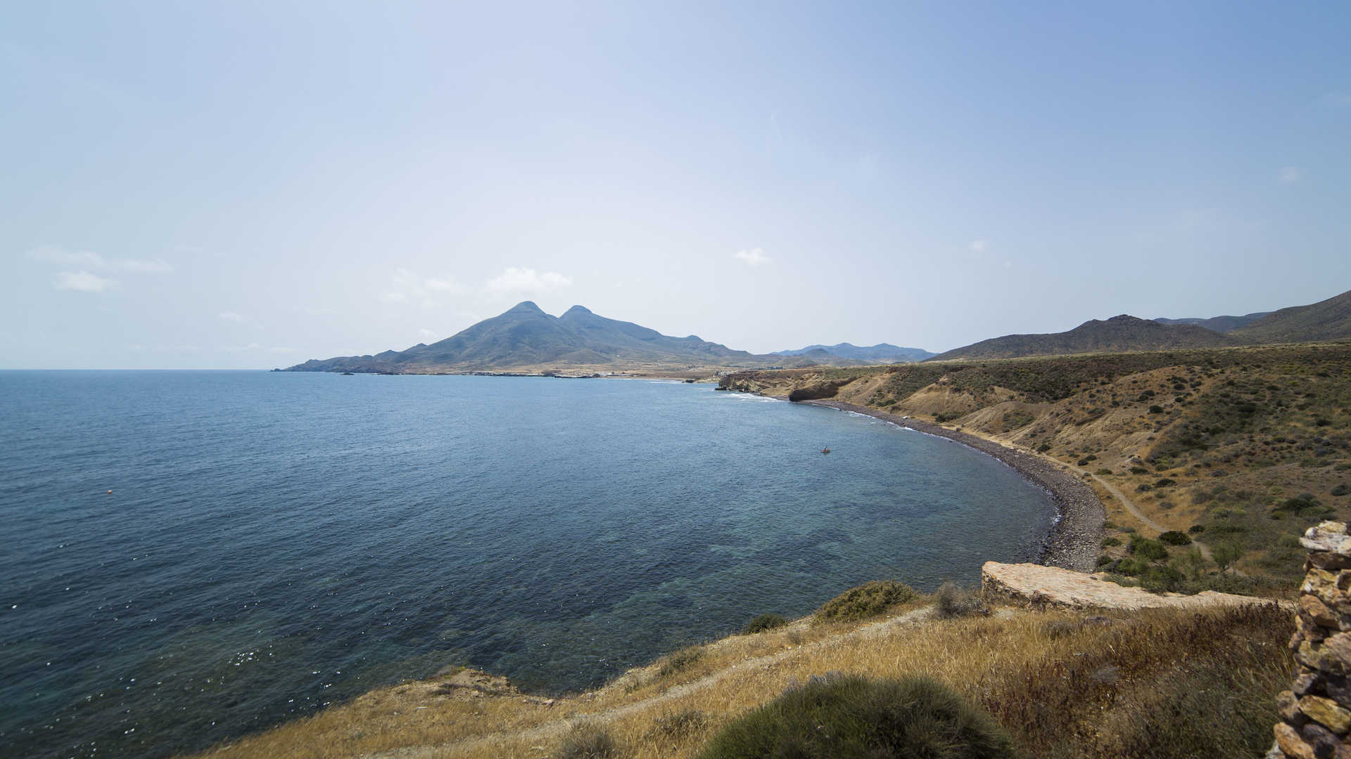
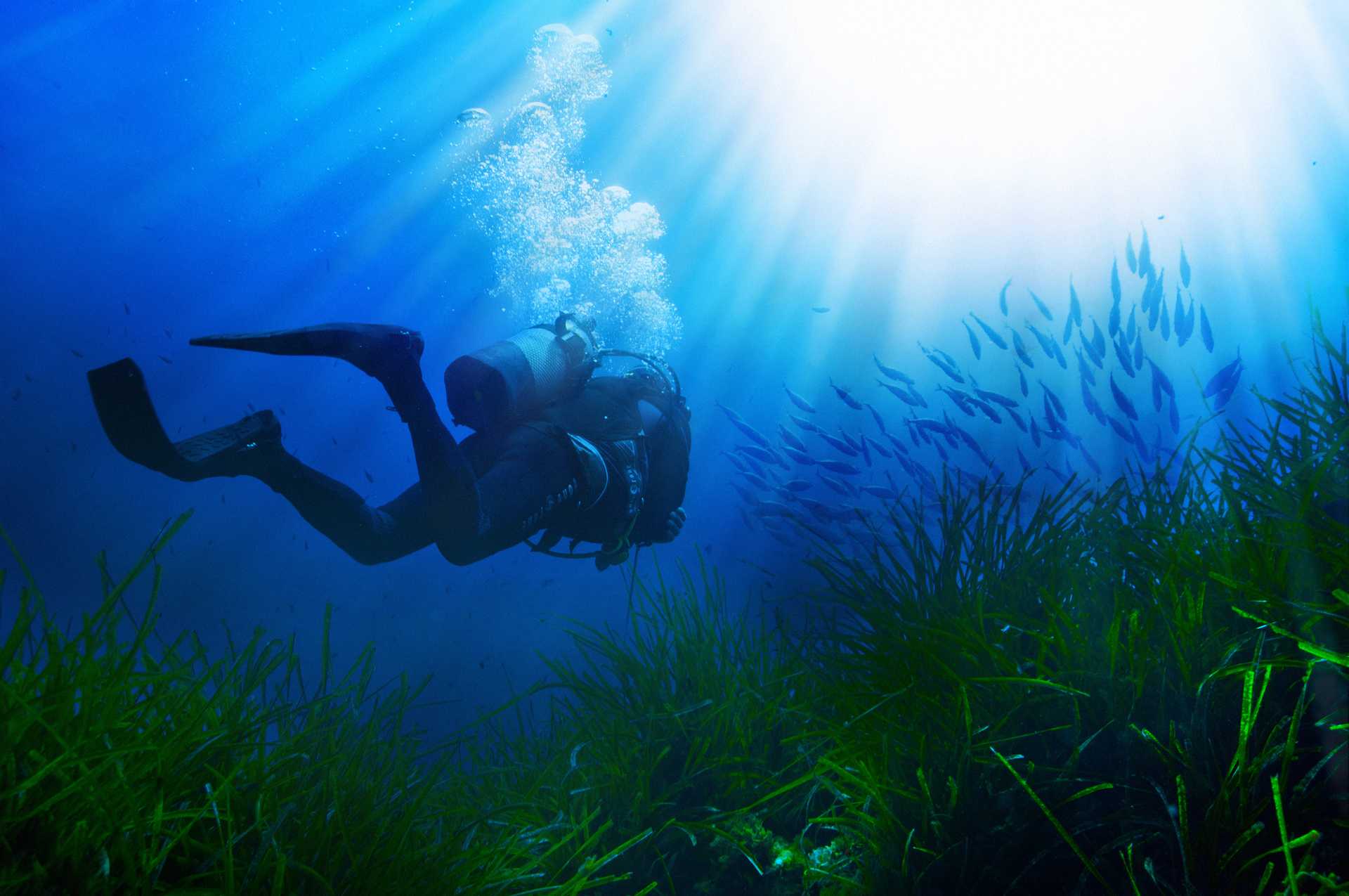
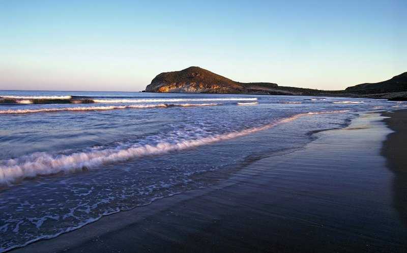
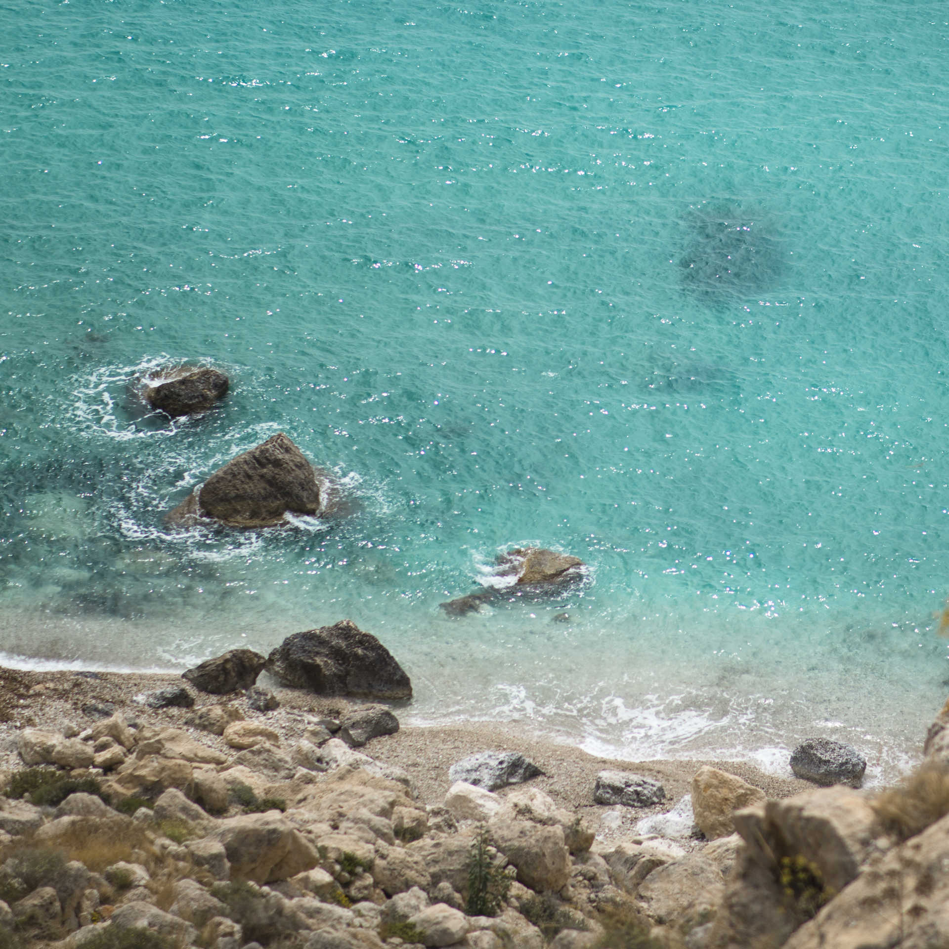
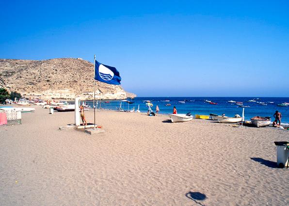
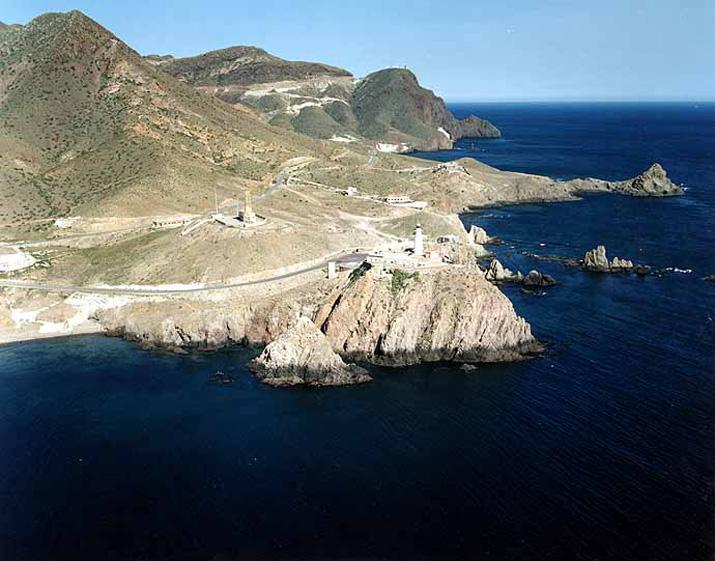
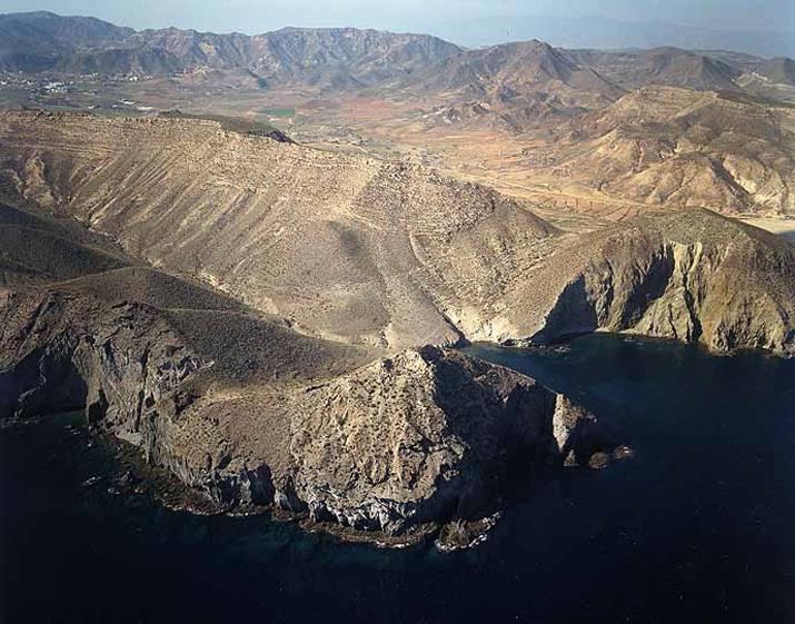
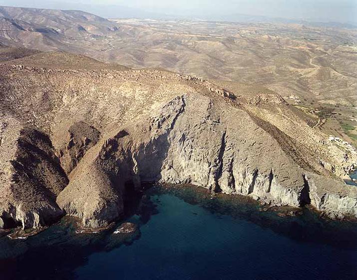
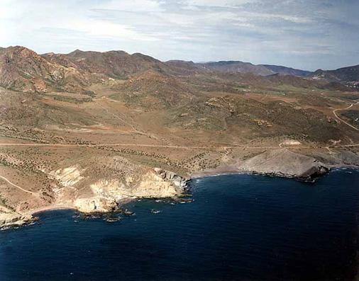
However, the most important feature of this municipal area is in the Cabo de Gata-Nijar Natural Park, first protected land and sea area in Andalusia which includes unique scenery: the only mountains of volcanic origin on the peninsula; the coastal strip with its dunes, beaches and saltworks, a true natural spectacle; and lastly the mile of protected sea, the depths of which are rich in sealife.
We must also add the places of great anthropological wealth such as the Mines of Rodalquilar, el Pozo de los Frailes, el Cortijo del Fraile, San José, Las Negras, etc.
History
The municipality stretches from the mountains to the sea, the Cabo de Gata. It is the fourth largest municipality in Spain. Its existence is known about since the IX century. Ibn al-Jatib spoke of the "white land" of this area, which gives an idea of the tradition in earthenware handicraft.
Area with very old settlements. In the Mesolithic and end of the Neolithic times and the Copper Age (3.000-2.000 BC) with the culture of the Millares and in the Bronze Age (2.500-1.800 BC) with the Argar culture. The Phoenicians founded a temple in the Cabo de Gata, which they called Agatas Promontory (Promontorio de las Ágatas), in honour of one of their goddesses. The Romans established salt factories and they worked the mines of Rodalquilar.
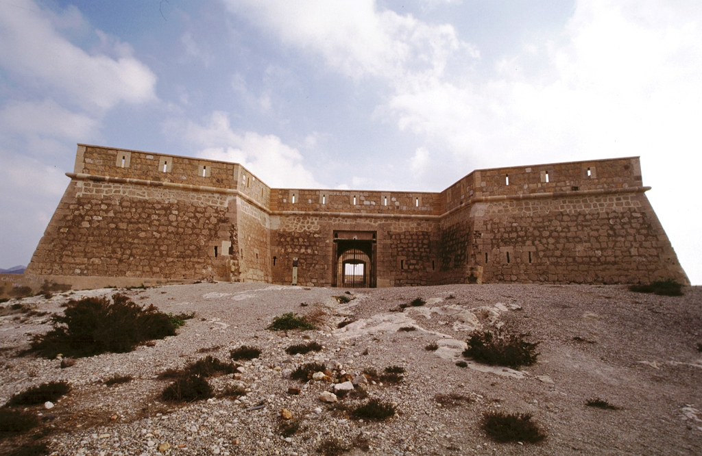
During the Al-Andalus period, Nijar was of little importance as it was close to the enclave of Pechina, but it was taken into account when castles and defence watch towers were built.
The Christian conquest occurred in the year 1489 together with the villages of Turrillas y Lucainena. After the Moorish revolts in 1568 and their expulsion in 1570, Nijar was left deserted and isolated until the XVIII century. In the XVII century it was a zone of frequent attacks from Berbers and pirates.
With the Coastal Defence Ruling proclaimed by Carlos III, castles and defence zones were constructed which allowed the settling of centres of population which were dedicated principally to shepherding and dry land crops.
The XIX century was a time of splendour for Nijar with the beginning of the working of the mines. At the beginning of this century it had 14,000 inhabitants. The working of the lead mines lasted until 1930 and then the gold mines started. These declined in the 60s.
Nowadays the principal activity is traditional agriculture, greenhouse farming and tourism on the coast, not forgetting craftwork.
In the year 1987 Cabo de Gata-Nijar was declared a Natural land and sea park. It spreads from the Rambla de Retamar to Mesa Roldan with a marine strip of 12,000 hectares. It is the largest protected sea and land area and the one with the most ecological relevance in the whole of the western European Mediterranean.

- Max 18
- Min 13
- Max 64
- Min 55
- °C
- °F

What territory do you want to visit?