
Otívar
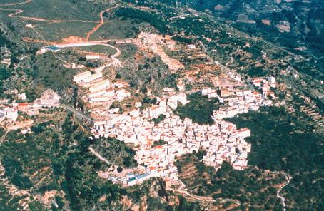
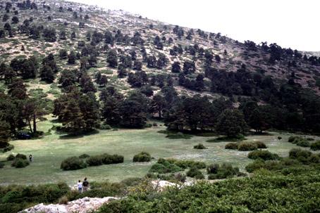
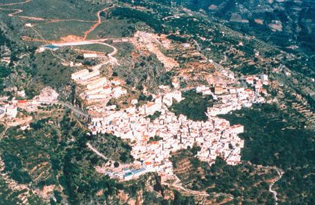
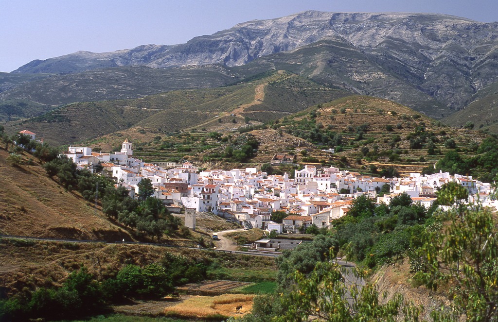
Following the road that from Almuñécar runs in parallel to the river Verde and leads into the Sierra del Chaparral, lies Otívar, located between the Sierra de Los Guájares and Almijara mountain ranges. Visitors can see the Parish Church with a Mudéjar framework and the Main House of Cázulas. Today, it specializes in the production of spring fruits and tropical products.
History
It shares the history of the coastal region, having Almuñécar as a reference. D. Juan Fernández Cañas, mayor of Otívar, also known as El tío Caridad, became very famous during the war of Independence as a guerrilla organizer against French troops.Otívar
Municipio

The weather today in Otívar
- Max 20
- Min 12
- Max 68
- Min 53
- °C
- °F
Otívar
Tourist area
Distance to the capital (km)
60
Altitude above sea level (m)
266
Extension (Km 2 )
57
No. of Inhabitants
1096
Demonym
Otiveños
Postal Code
18698
en
Read more


