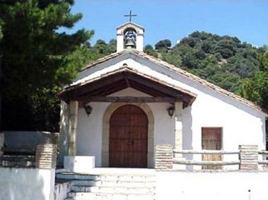
Algatocín

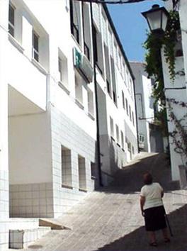
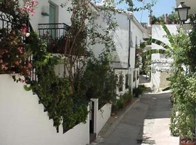
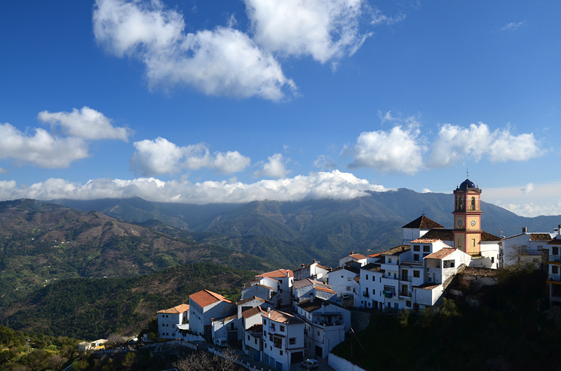
Algatocin, on the road which links Ronda with the Campo de Gibraltar region, has always managed to attract the traveller's attention: its peculiar urban layout, inherited from the Berber tribes who founded the village, is stepped to accommodate the steep terrain on which it is built, the white mass of its buildings contrasting with the green of chestnut trees, holm oaks and gall oaks.
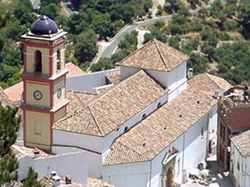
As an unmistakeable sign of identity, Nuestra Señora del Rosario Parish Church towers above the whitewashed village, crowned by a shining blue mosaic.
History
Algatocin dates back to the time of the Roman occupation: archaeological remains pertaining to this period have been found at Cerrogordo, a location close to the village.
However, the village's origins are also heavily linked to the presence of the Arabs. Its name appears to be derived from the Berber tribe of the Benu-Atus, Al-Atuiyin, though legend has it that it comes from the name of the daughter of the second Moslem king of Ronda Algotisa, who chose to build a palace on this site.

- Max 28
- Min 23
- Max 82
- Min 73
- °C
- °F