Cabezas Rubias

A village of mining tradition belonging to the region of Andevalo, close to the Sierra de Aracena, in a landscape of small rises in the ground and hills on which fields of olive trees, cereals and vines predominate.
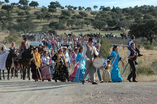
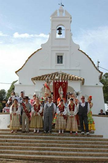
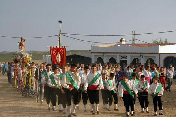
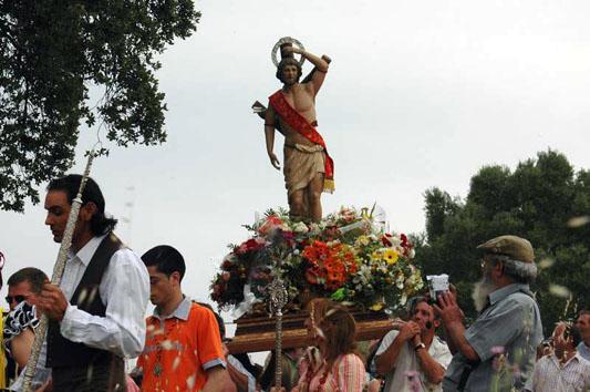
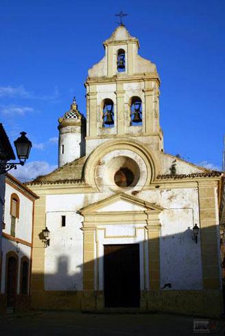
Saint Sebastian's Chapel is a monument of interest.
History
The Phoenicians populated these lands and worked the mines in the surrounding areas.
During Roman times it was known as Ad Rubras. It is mentioned in the "Itinerary of Antonino" and it was on the road to Merida,
With the treaty of Badajoz in 1267 in which the lands between the Guadiana and the Guadalquivir passed to the crown of Castile, the population went on to depend on the county of Niebla.
The village was razed to the ground in the middle of the XVII century and repopulated by old inhabitants.