
Camino de la Dehesa - Fuente de los Hornaos - PR-A 270 Trail

The Camino de la Dehesa - Fuente de los Hornaos - PR-A 270 Trail takes us to Fuente de los Hornaos, an important water supply point, both for visitors and for local wildlife. The cool, humid surrounding area is ideal for brambles, rushes and other plants associated with such ecosystems.
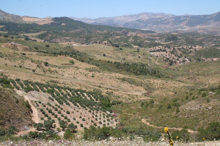
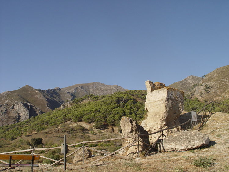
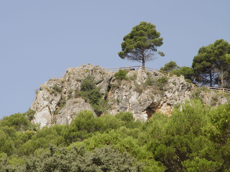
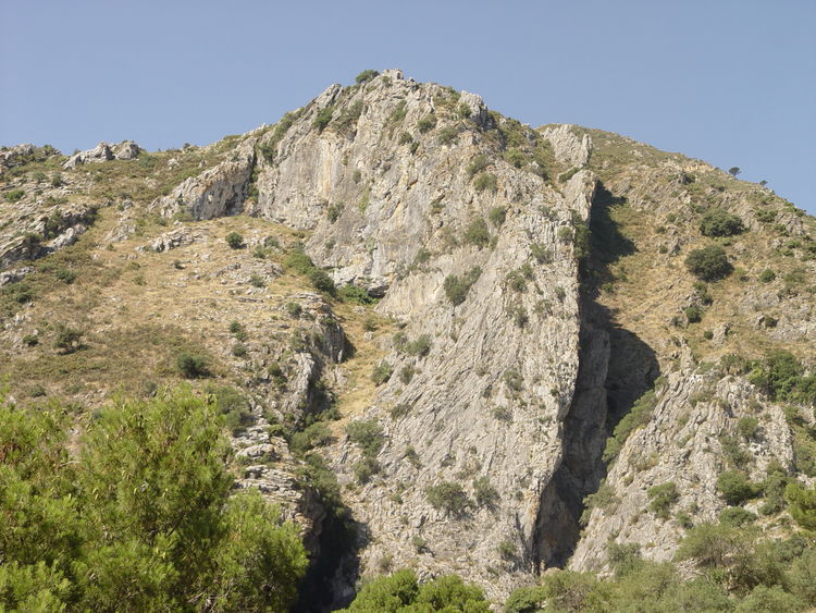
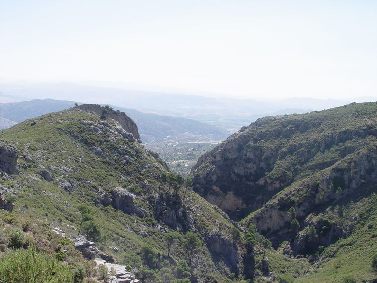
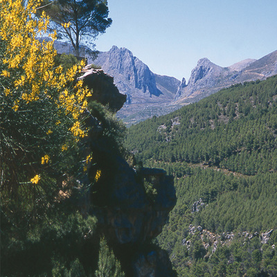
This route runs through karst formations, typical of these mountains, amid pine forests with beautiful views where, being a perfect habitat, we have the chance to enjoy some bird watching
Our route begins next to a sports complex called Viñas Arias, just 1 km from the town towards the MA-5401 road between Casarabonela and El Burgo and continues along an old path known as Camino de la Dehesa.
Everything seems to indicate that this path once connected Casarabonela, the possible Castra Vinaria, with the Roman road between the Guadalhorce Valley (Malaca and Iluro) and the Serranía de Ronda mountains (Arunda and Acinipo). In many sections, the original cobbles can still be seen, as well as gutters and side channels.
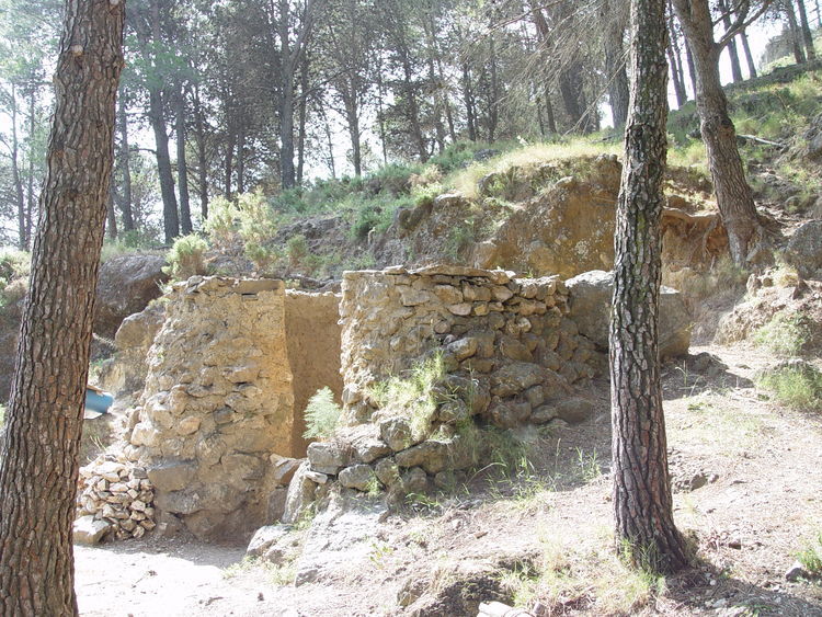
On our way up this route, we soon come across a limekiln, proof of the limestone nature of the land and a relic from ancient settlements. We finish the ascent at a forest track that runs right through the Sierra Prieta mountains and which, turning left, we follow for some 7 km.
During our walk along the forest track we can enjoy fantastic views and pass several crossroads with the many trails that runs through these mountains linking the towns of Casarabonela and Alozaina.
These crossroads include the path of La Jácara pass, where we can leave the track and take an alternative extension of the route to see the beautiful setting around El Vivero, returning to our original path by way of La Madera pass.
A little further on, at Llano de la Chacha, we leave the track for good and begin our descent along a path to the left.
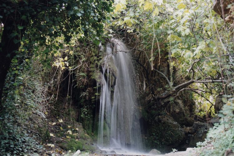
We soon pass by Fuente de los Hornaos, a spring that provides water almost all year round and home to rushes, oleanders, apple mint and other plants associated with humid areas.
We continue our route and pass by Tajo del Naranjal, a flat-top peak with vertical walls, the product of rockfalls and erosion, and a little further ahead we pass by Llano Cristóbal where there is a small, quaint refuge surrounded by pine trees planted to repopulate the area.
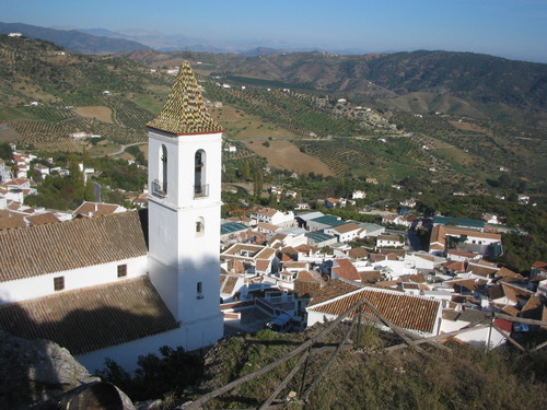
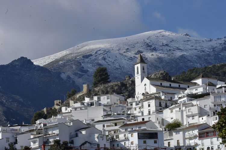
It is worth visiting the nearby viewpoint known as Mirador del Llano Cristóbal located behind the refuge, to enjoy panoramic views over the Guadalhorce River Valley and the town of Casarabonela on slopes of the mountain and huddled around the ruins of a medieval castle.
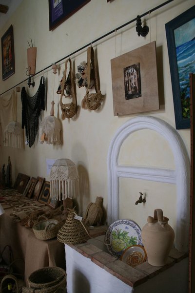
Finally, we head down to Casarabonela, a beautiful municipality boasting over thirty-five niches in the historic town centre and charming water fountains coming from aquifers in the Sierra Prieta mountains, outlining another of the town's star attractions: its springs and El Chorrerón, a waterfall that is particularly impressive during periods of heavy rainfall. One of the most unique attractions is the fascinating Cactus Museum where there is also a Visitors Centre.
Type of Trail: Circular. Trail Status: Approved and signposted 2005. Total length: 12.3 km. Sections: 1 Accessibility: It can be done on foot. Download Brochure
Itineraries
Services and infrastructure
Target audiences
Segments
Season


EXPLORE ANDALUSIA
EXPERIENCES


