
Estación de Vuelo Libre de Chiclana de Segura
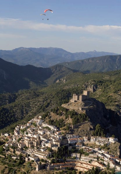
Located in the far east of the Condado district in Jaén, Chiclana de Segura is set on a great stone mass, whose first homes were bored into its interior. Two thirds of the municipality, north of the town itself, is dominated by forests. These give way to olive groves in the southern third.
Its unique location and its maze of narrow streets, are two things that stand out about this attractive place. Its architectural heritage consists of buildings like the church of San Pedro (17th century), the Casa de la Encomienda, known as the Casa de la Inquisición, the Castle -a fortress dating from Islamic times- and the Puente Mocho bridge, which lies on the Via Augusta, also known as Hannibal's Way. Another interesting site is the Roman villa at El Calar dela Muchacha.
Climate
Although the municipality is in the north of Andalusia, it still enjoys many days of sunshine each year. However, due to the altitude here, the winters are quite cold. Nonetheless, in winter there are many good flying days, with an east wind, and flying is possible even on totally cloudy days. Summer offers good thermals during the middle of the day.
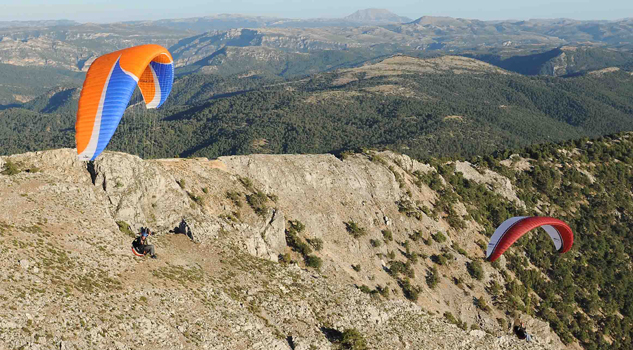
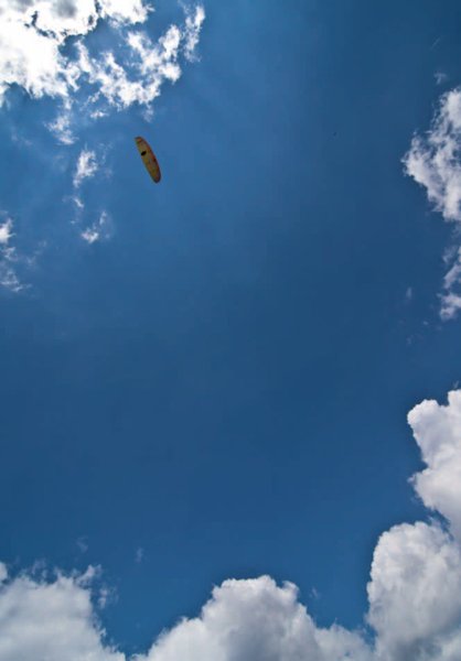
Flying here is done facing east, slope soaring on the strong wind at the end of the day. Thermal flying is also possible, and the morning is a good time for this because of the east-facing topography.
Launch sites West launch site Coordinates: 38º 18’ 57.95’’ N / 3º 03’ 02.60’’ W. Orientation: East facing. Altitude: 950 metres. Drop: 350 metres. Dimensions: Small and short, for a single paraglider. Access: It is possible to reach the municipality of Chiclana de Segura coming off the main road from Condado. Behind the swimming pool there is a road; follow this until you see a turn-off on the right. This road takes you directly to the launch site. It is possible to park a few metres before reaching the launch site. Facilities: Pending tasks include enlarging the launch site, as well as putting up an information panel, direction signs from town, a windsock and a weather station connected to the Internet. Near the launch site are a pool, restaurant and sports and leisure areas, although these are only open in the summer. Precautions: * With a lee wind, remember the presence of the town, which is on the right. Try to avoid the town unless you have considerable altitude. Landing sites Landing site Coordinates: 30º 19’ 20.29’’ N / 3º 02’ 35.57’’ W. Access: Good access road from the road that runs from Chiclana de Segura to Venta de los Santos. Altitude: 600 metres. Facilities: Pending the installation of signs with directions from town, and a windsock. Parking: There is no prepared car park, but it is possible to park a few metres before reaching the landing site. Obstacles: No obstacles; this is a very open space.
Services and infrastructure
Target audiences
Segments
Type of activity
Season


EXPLORE ANDALUSIA
EXPERIENCES


