
Dalías Free Flight Centre
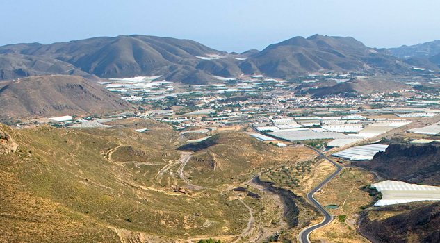
The municipality of Dalías, known as the balcony of Europe, is in the south of the province of Almeria, in the southwestern foothills of the Sierra de Gádor mountains. Surrounded by fields of vegetables, the town of Dalías still shows the influence of the Islamic period in its narrow streets, with their irregular layout, and its whitewashed houses, situated alongside bourgeois homes from the early 20th century.
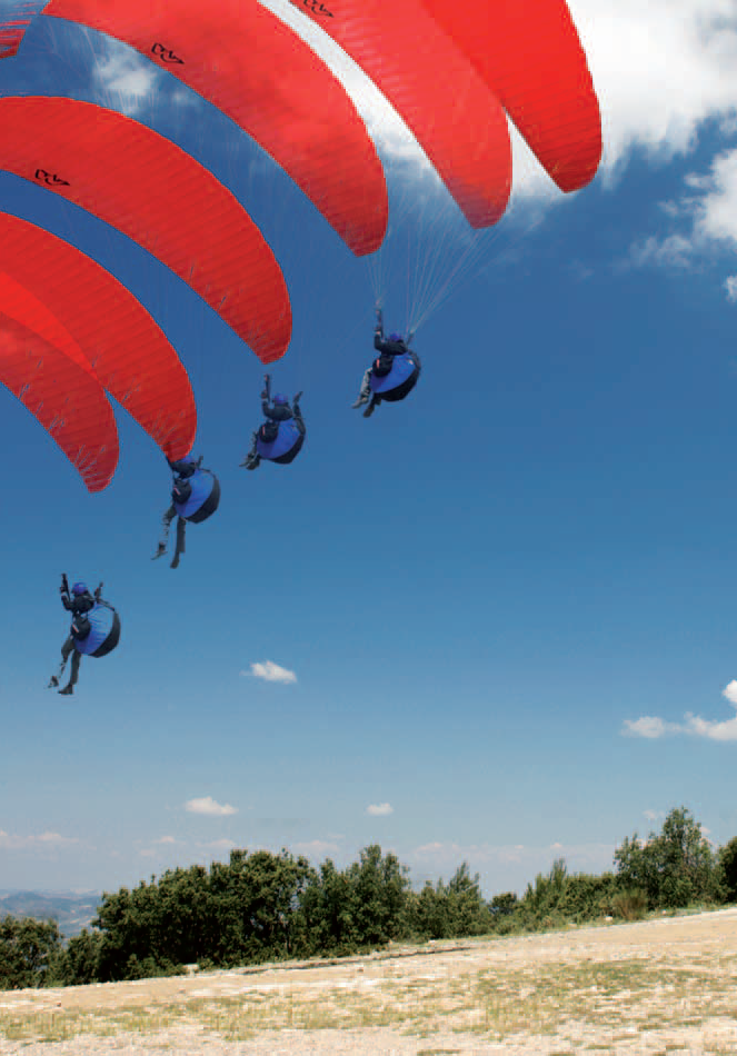
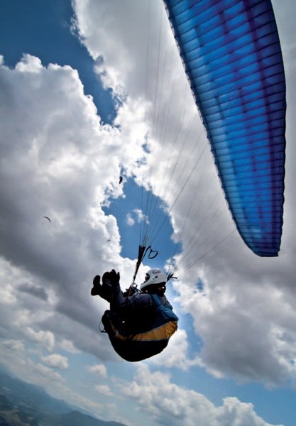
Here we find Almería province's newest flying site; it offers a high technical level, good facilities and fantastic views of the Sierra Nevada and the Mediterranean beyond El Ejido.
In terms of its natural surroundings, Dalías has much to offer. One way to see the area is along the Ruta de las Fuentes de Dalías, which is a walking route that takes in more than 25 natural springs, with excellent drinking water, or by going to the Arroyo de Celín recreational area. Furthermore, there is a fine network of trekking paths in the impressive Sierra de Gádor hills.
In terms of artistic and historic heritage, there are many monuments, some dating back to the area's Islamic past, a number of sites have been designated Spanish Assets of Cultural Interest.
Climate
The weather, however, is very good all year round. The best period is during the winter, since it is at this time when there are considerable thermal contrasts between the coastal and greenhouse area, where the temperatures are quite mild, and the highlands further inland, which are much colder. From here launches are undertaken facing south, and flying is possible with wind variations of up to about 45º on each side of the launch site. The weather, however, is very good all year round.
The climate in the summer months is very intense, and so an advanced flying level is required.
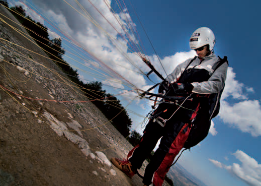
Launch sites South (Alain Marco) Coordinates: 36º 49’ 59.34’’ N / 2º 50’ 13.00’’ W. Orientation: South facing Altitude: 960 metres Drop: South landing site (Celín): 470 metres.South landing site (Dalías): 593 metres. Dimensions: Approximately 650 square metresfor the launch site. Access: Access from Celín is by forest track, which starts in the town itself, by the Arroyo de Celín recreational area. Dalías can be reached by taking the A-7 from El Ejido, with Dalías lying at a distance of just 9 Km. Cars can be parked alongside the forest track. A car park is to be created beside the site with capacity for a significant number of vehicles. Facilities: There is a weather station located at the Puntal dela Aguja, at an altitude of 1,960 metres. There are also windsocks, and signage with directions is due to be put up. Precautions: * Although there are no obstacles present, there are a number of external factors to take into consideration, such as the strong weather in summer, which requires experienced pilots to negotiate it, and the restriction in February to March because of the red-legged partridge hunting season. Landing sites South landing site (Celín): Coordinates: 36º 49’ 55.96’’ N / 2º 52’ 19.52’’ W Access: Located close to the football pitch, about200 metresfrom Celín. Altitude: 490 metres. Facilities: There are windsocks. Parking: There is plenty of room to park, since there is a large car park with capacity for many vehicles. Obstacles: Presence of wires and low buildings in the area. South landing site (Dalías): Coordinates: 36º 48’ 55.96’’ N / 2º 52’ 00.51’’ W. Access: Located close to the football pitch, about 200 metres from Dalías. Altitude: 367 metres Facilities: There are windsocks. Parking: There is plenty of room to park, since there is a large car park with capacity for many vehicles. Obstacles: Presence of wires and low buildings in the area.
Services and infrastructure
Target audiences
Segments
Type of activity
Season


EXPLORE ANDALUSIA
EXPERIENCES


