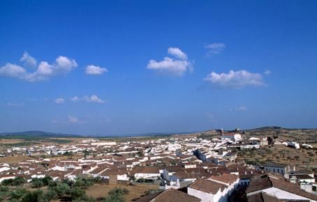
Encinasola
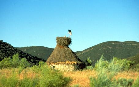
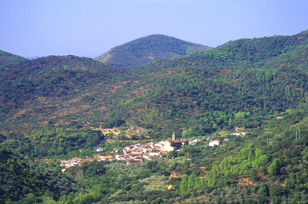
Village situated in the northern part of the province, on the border with the province of Badajoz, included in the Sierra de Aracena y los Picos de Aroche Natural Park, one of the most important protected spaces of the Community, which occupies the whole of the north of the province with its meadows and small rises in the ground, covered predominantly in holm oak woods, cork oaks, chestnut trees and scrub through which numerous streams flow forming an extraordinarily beautiful and attractive landscape which is ideal for livestock, especially pigs which find the conditions here ideal.
Its name comes from a solitary tree in which the border smugglers used to meet, according to legend. Today, the old Arabic castle and the two bulwarks that flank the village are interesting. Also, St Andrew"s church, and the chapels of St John and the Holy Martyrs.
History
Its name comes from a solitary tree in which, according to legend, the border smugglers used to meet.The first settlements date from the Bronze Age due to a series of dolmens found in the municipal AREA.
Settled by the Beturians, it was later inhabited by the Romans.

- Max 33
- Min 29
- Max 91
- Min 84
- °C
- °F