
Guillena Water Route Trail - PR-A 218
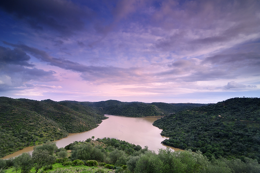
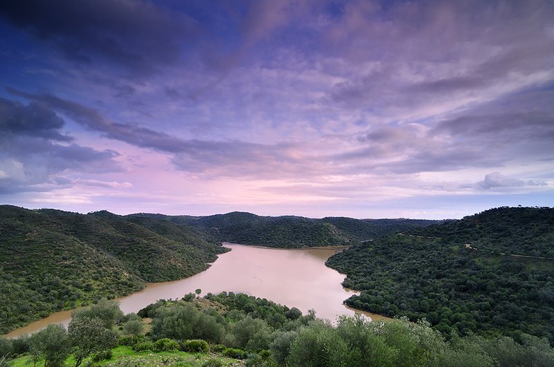
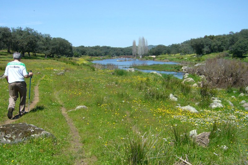
The Water Route is a real nature adventure in the foothills of the Sierra Morena Mountains. You will discover landscapes that you never imagined could be so close to the city of Seville.
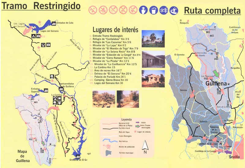
The Guillena Water Route Trail - PR-A 218 forms part of the alternative tourist itinerary promoted by the Guillena Town Council, with the collaboration of different administrations, taking advantage of the wonderful features provided by nature and investing in ecological, sustainable and endogenous development. Out of the route, 14 km are marked as a restricted section, where you will find one of the areas of most ecological interest, which you can only explore on foot, horseback, by bike or in authorised 4x4 vehicles.
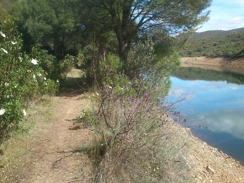
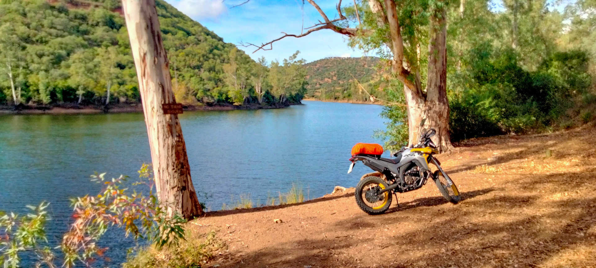
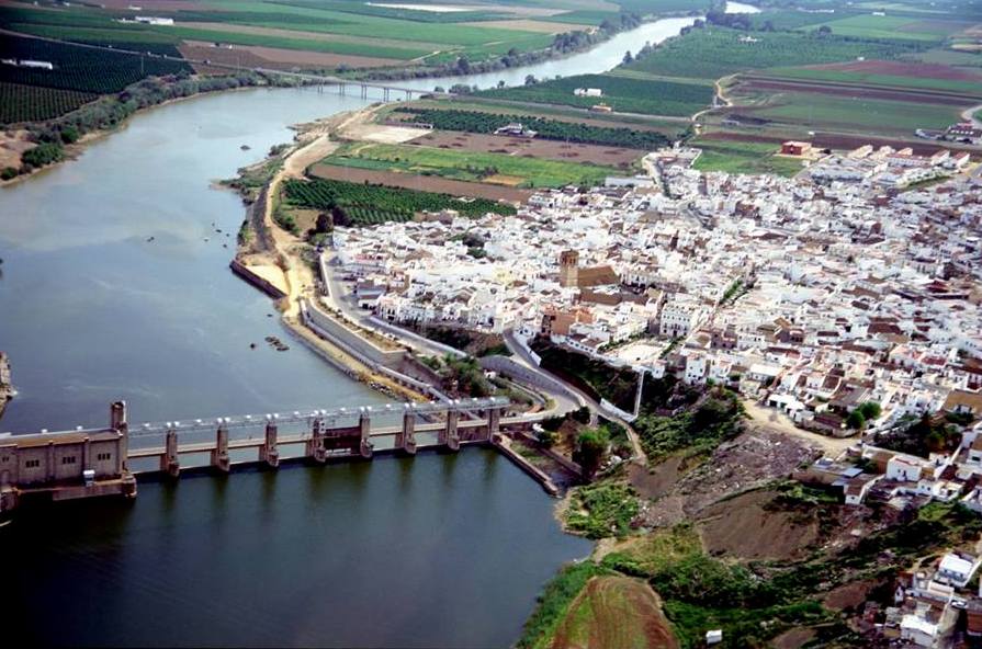
The route starts near the El Gergal Peri-urban Park, and travels through some of the most beautiful and unknown spots in Andalusia. The Huelva and Cala rivers flow through the Water Route, in which we find the El Gergal and Cala estuaries, along with the Guillena counter dam, which supply Seville and its metropolitan area with power and drinking water.
There are a lot of complementary tourist attractions so you can enjoy a wide range of outdoor activities such as swimming, diving, fishing boat excursions, camping, hiking, mountaineering, cycling, horse riding, ultralight aviation, paragliding, etc.
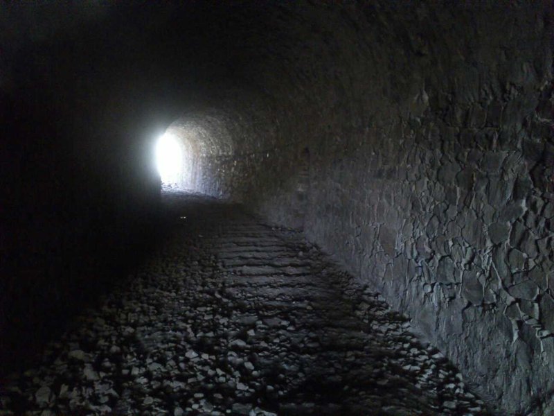
In short, a route full of natural treasures and surprises, where you can find old railway stations, reservoirs, villages, farms, lakes, prehistoric ruins and, even, a palace, such as the Parladé Palace–a construction dating from the 19th century but based on a medieval castle.
The indigenous flora and fauna turn this place into a nature museum where you will be fascinated by the variety of species, and wealth of colours, sounds and smells.
The Water Route has the necessary facilities along the route to make it easy to take: there are sixteen rest areas, with shelters, viewing points, picnic areas, stopping places, tables, benches, litter bins and informative signs, besides a restaurant with toilets, a souvenir shop, a barbecue area and supervised camping in the wild.
Type of Trail: Linear. Trail Status: Approved and signposted 2011. Total Length: 14.3 km. Stages: 1 Accessibility: Suitable for walking, horse riding and mountain biking. Download Brochure
Itineraries

Services and infrastructure
Target audiences
Segments
Season
You may be interested


EXPLORE ANDALUSIA
EXPERIENCES


