Carolina, La
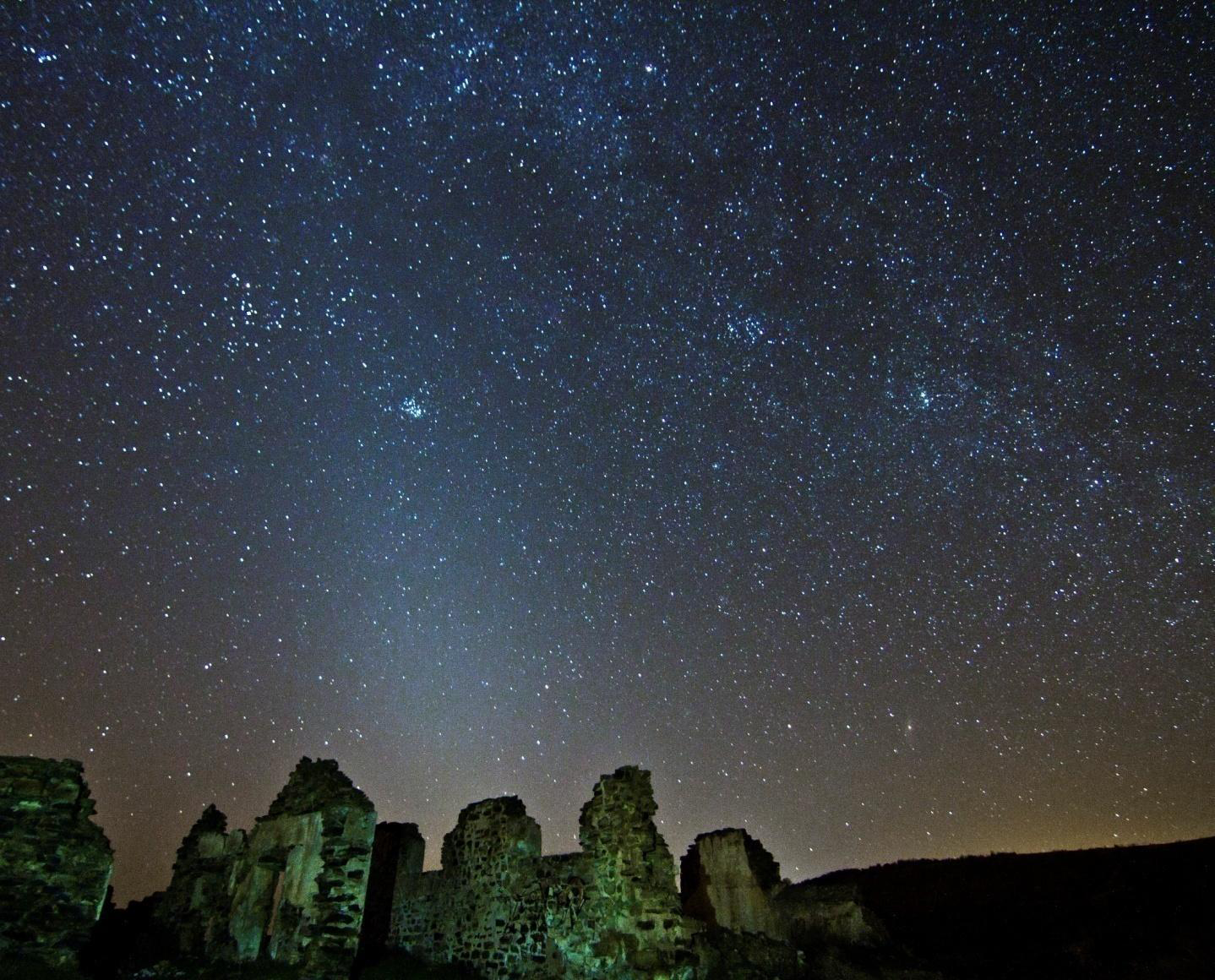
The village is situated near the Sierra Morena Mountains near to the Despeñaperros Mountain Pass, natural link between Castilla and Andalucía. Its landscape's main feature is the olive tree but there are also abundant meadows and medium sized mountains covered with pines and oaks, where old mining chimneys are common, an unmistakeable sign of the past connection of the area with this activity.
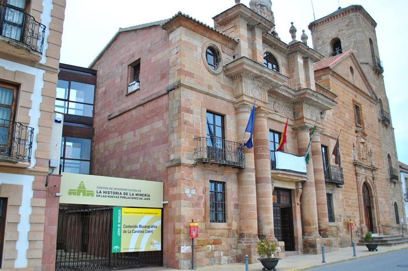
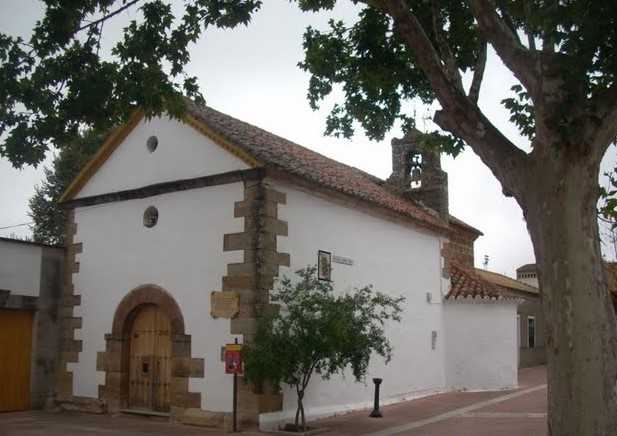
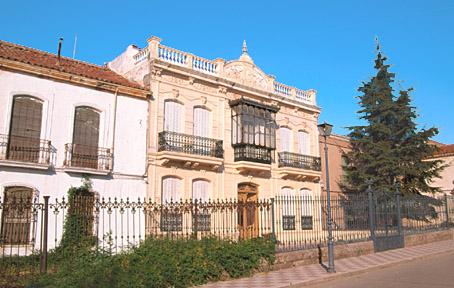
It was founded by Carlos III in 1767, following his ideas of colonization of land south of Sierra Morena, and among them all, this is perhaps the most important city. It shows, therefore, a rationalist urban design, typical of S. XVIII, with linear and perpendicular streets, around a center where all the important buildings are situated, the Church of la Inmaculada Concepción and the Palace of Olavide. Other buildings of interest are the old Jail, the Towers of la Aduana and the Monoliths commemorating its foundation.
History
The village was founded by King Carlos III in 1767, at the sugestión of the Treasury Commissioner Miguel Muzquiz, under the Sierra Morena Plan for New Colonization Villages. The settlement of new colonists from France and Germany was implemented by the minister Olavide.The villages, established by the King, had the purpose of putting an end to the refuge for bandits offered by these lands.
Influenced by the ideas of the Enlightenment, the village is laid out on a grid of parallel and perpendicular streets.
Eminent citizens
Manuel Andújar, writer and novelist.

- Max 34
- Min 31
- Max 93
- Min 87
- °C
- °F