Mancha Real

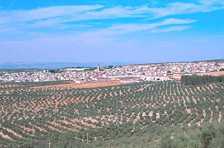
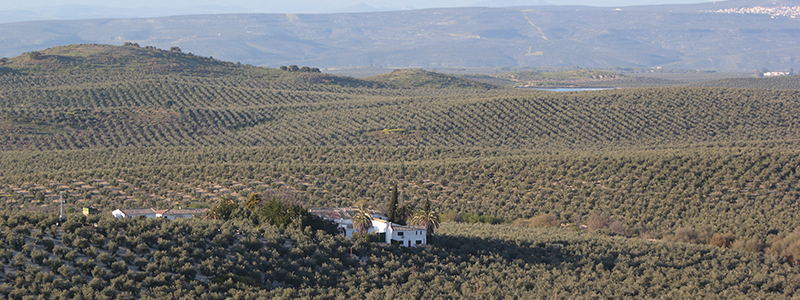
This village is situated to the east of the capital, on the Sierra Mágina foothills, more precisely, beneath the Peña del Águila. It spreads out over a landscape of smooth hills covered by vast and fertile olive groves.
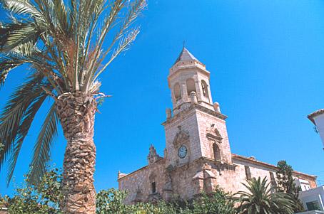
It boasts monuments such as the Church of San Juan Evangelista and the old Carmelite Convent.
History
This village was founded by a Royal Warrant of Queen Juana I de Castilla in 1537, though the order was not effective until 1539, under King Carlos V. It first belonged to Jaen and received the name of La Manchuela de Jaén.
King Felipe II made it independent from Jaen's jurisdiction in 1557.
On the 25 of November, 1653, the justices of the village decided to change the name of the village to Mancha Real to commemorate the visit of King Felipe V.