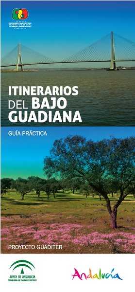
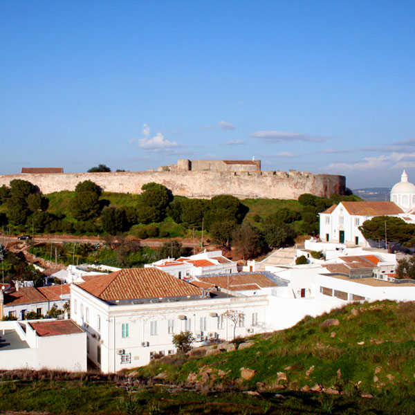
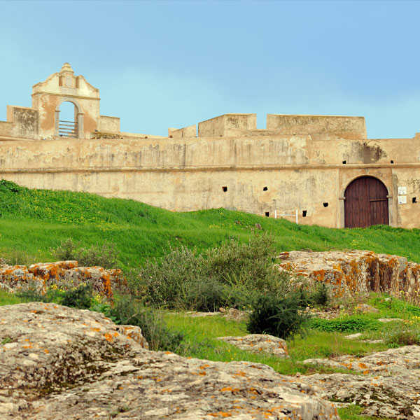
Itineraries in the Lower Guadiana

There is a map of the area bordering with Portugal, inviting visitors to discover the tourist, cultural and environmental features of the main villages in the Lower Guadiana.
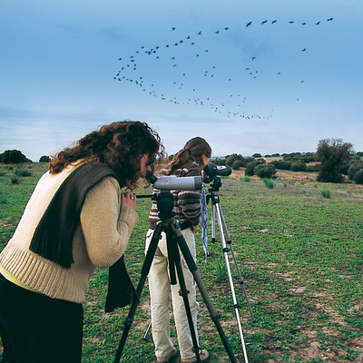
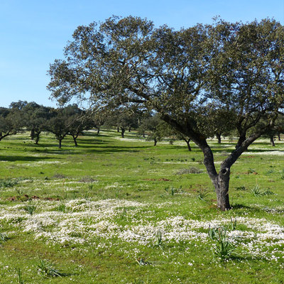
It includes routes for family vehicles, classified thematically, with cultural or nature content, or a combination of both; and there are non-motorised routes for hikers and cyclists.
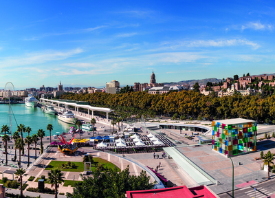
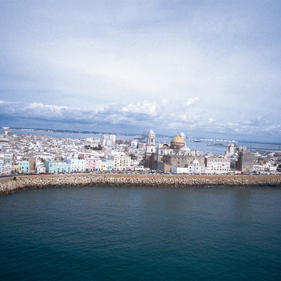
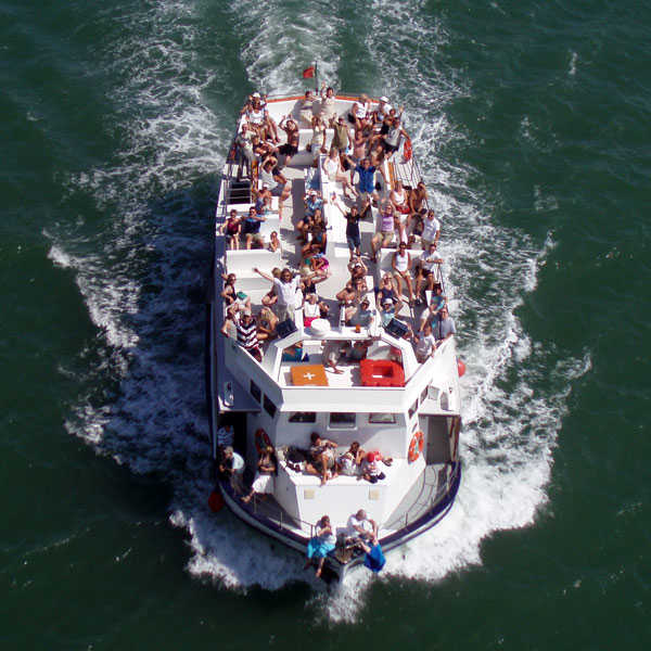
Then there are suggestions for boat trips and routes for approaching the Lower Guadiana from the outskirts of these regions, from the western Algarve and the Huelva Costa de la Luz and from Seville through the Sierra de Huelva mountains.
Itineraries in the Lower Guadiana
Aroche, Ayamonte, Encinasola, Granado, El, Paymogo, Puebla de Guzmán, Rosal de la Frontera, Sanlúcar de Guadiana, San Silvestre de Guzmán, Santa Bárbara de Casa, Villanueva de los Castillejos (Huelva)