
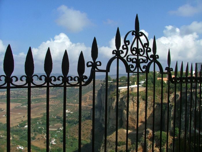
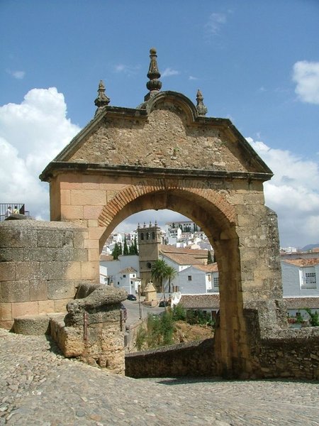
Ronda – Cartajima Trail - PR-A 221

The Ronda – Cartajima Trail - PR-A 221 starts in Calle San Acacio, in the district of San Francisco in Ronda. It is basically a track that runs to the south, in search of the La Culebras stream.
After out about three hundred metres we will see, on our right, the Fuente de la Acacia fountain, we carry straight on under the viaduct of the Ronda ring road where we'll see an old waterwheel which was used to extract water. This area is very developed and there are many small plots and vegetable gardens.
We follow this path until we reach the Las Culebras stream, one and a half kilometres from the start of the trail. After fording the stream, climb up the steep gradient until you reach an area of meadow, where you'll find the Pereira farmhouse. Continue on the path which follows the wire fence, to our right. This narrow, climbing path, leads to a wider track which takes us to the Canalizo farmhouse, where we pass through the small gateway which has been especially prepared for hikers. We continue half-way up the hill through a holm oak forest, leaving the farmhouse to our right.
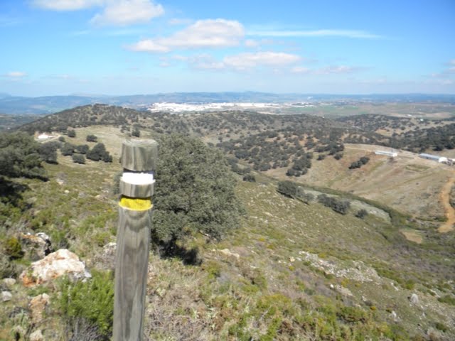
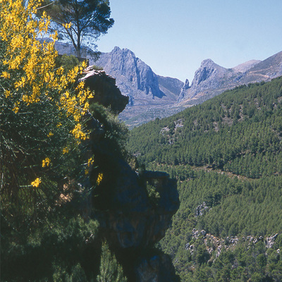
After the farmhouse we climb up to the Cancha de Pinea, from here we can observe the typical karst topography, which features a large sinkhole at the foot of the Cancha de Almola. We go around this sinkhole, leaving the impressive limestone outcrops on the left and continue westwards towards the pass which is the only practical route between the hills of Almola and Jarastepar.
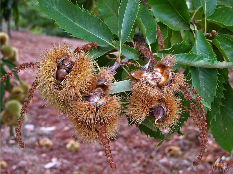
Once we reach the pass we will be able to see the spectacular landscape of the Genal valley and the massifs of the Sierra de las Nieves mountains, the Torrecilla, the Cascajares, Sierra Palmitera, Sierra Bermeja and Sierra Crestellina. The valley is covered by a lush forest with a great variety of species including: chestnut trees, cork oaks, holm oaks, Portuguese oaks and pines, giving the surroundings incredible chromatic variety which is different for each season of the year.
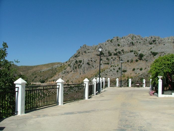
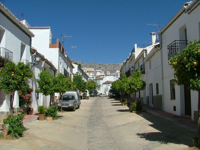
From here we descend to the highway which we cross and then take a path leading to the Pilar de la Higuera, where there is a drinking trough for livestock. We carry on across the plain until we return to the highway and then take a track which leads to the municipal water deposit. Finally we take a small paved pathway which takes us to the beautiful village of Cartajima.
Type of Trail: Linear. Trail Status: Approved and Signposted 2003. Total Distance: 10.6 Km (one way) Legs: 1 Accessibility: It can be done on foot. Download Brochure
Itineraries
Services and infrastructure
Target audiences
Segments
Season


EXPLORE ANDALUSIA
EXPERIENCES


