
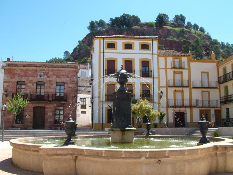
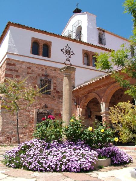
Santisteban del Puerto
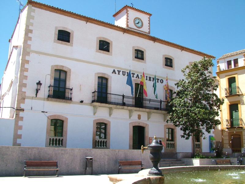
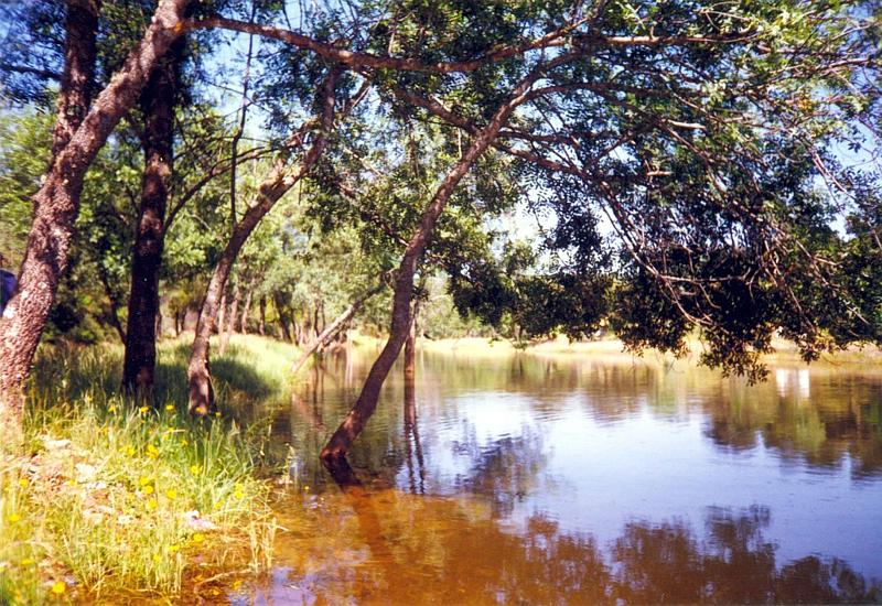
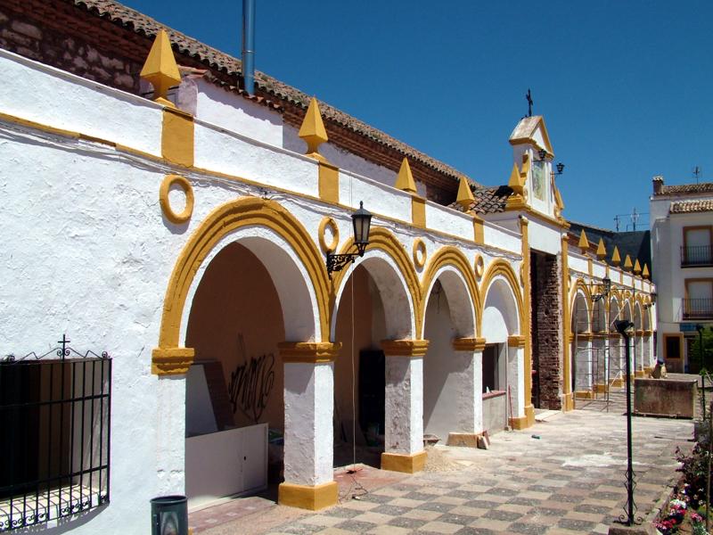
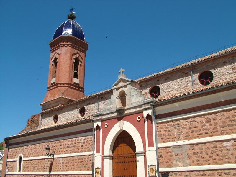
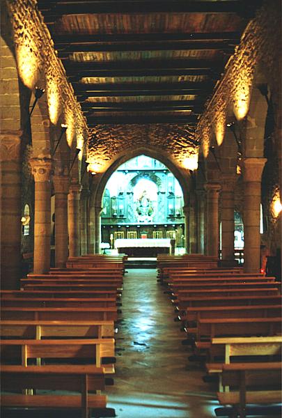
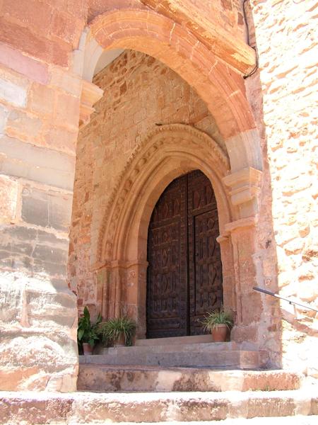
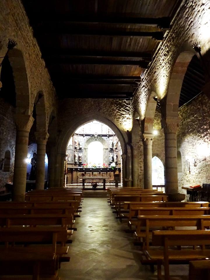
This village is situated to the north of the province, at the foot of the Sierra Morena mountains, on the Loma de Chiclana, between the Guadalimar and Montizón rivers. This beautiful villages rises in a landscape of immense olive groves, meadows and cereal fields. Within the village, we can find the ruins of the castle, the Chapel of Santa María del Collado, the Church of San Esteban and the Chapel of el Egido.
History
The first human settlements we know of date from the Neolithic, as can be seen from the remains found all over the district. The Iberians also settled here, leaving us the Perotito and La Alameda Treasures.During Roman times, the Via Augusta and some fortresses were built.
The Visigoths changed the Roman name of Ilugo for San Esteban, which is the origin of its present one.
From the al-Andalus period we have some fortresses, such as San Esteban, Torrealber or Poyato. It was the scene for some great battles.
King Fernando III reconquered the village in 1226. Some years later, the King granted Village charter. In 1371, the village was given to the estate of Don Men Rodríguez de Benavides and in 1473, King Enrique IV gives Díaz Sánchez de Benavides the title of Earl.
Eminent citizens
Jacinto Higueras Fuente, sculptor.
Santisteban del Puerto
Municipio

The weather today in Santisteban del Puerto
- Max 17
- Min 14
- Max 62
- Min 57
- °C
- °F


Santisteban del Puerto
Tourist area
Distance to the capital (km)
104
Altitude above sea level (m)
681
Extension (Km 2 )
373
No. of Inhabitants
5074
Demonym
Santistebeños
Postal Code
23250
en
Read more


