Santo Tomé
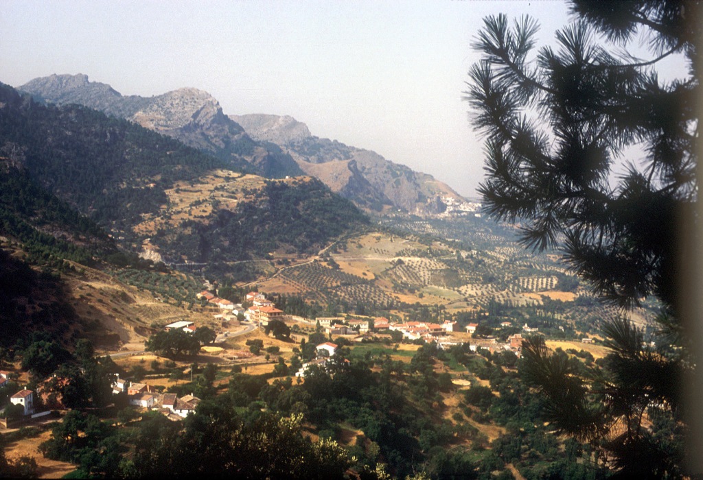
The village is situated to the east of the province, in the foothills of the Sierra de Cazorla mountains, on the banks of the Guadalquivir River. Its landscape, shared with many of Jaen"s villages, is dominated by olive groves, cereal fields and orchards.
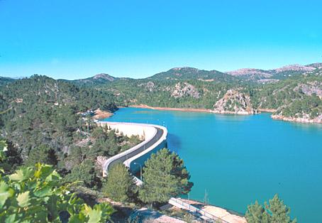
Part of its municipal district is included in the Sierras de Cazorla, Segura and Las Villas National Park, the largest protected natural space in Spain: an orographic labyrinth of valleys, calares, gorges, mountains and flat lands of enormous hydrological importance (due to the numerous rivers and streams which spring within the Park); of great botanical importance (different varieties of pine trees and a lot of endemic species); it is also important aesthetically and from a wildlife point of view.
Because of this it is one of the most visited and frequented natural spaces in the country.
History
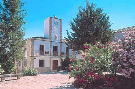
The village was founded by Don Pedro Diaz de Toledo, by order of the Archbishop of Toledo, in a place where only a country estate and an old tower existed. Permission to found the village was granted on the 13 of August, 1348.This AREA was the scene of many bloody battles between Christians and Arabs.

- Max 36
- Min 32
- Max 96
- Min 89
- °C
- °F