Serón
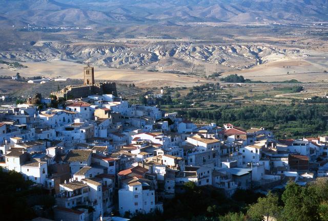
Located in the upper basin of the Valle del Almanzora region, the village of Serón is a beautiful settlement situated on the northern slopes of Sierra de los Filabres Mountains, where it overlooks the valley. It is located on excellent lands used for irrigation, vineyards and orange trees.
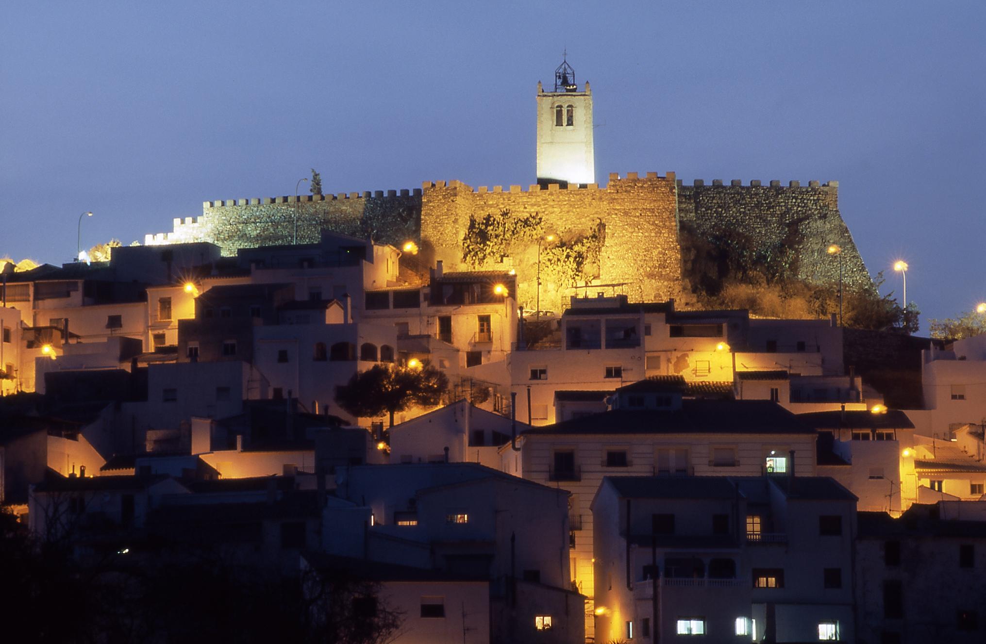
With urban origins that can be traced back to the Islamic period, it has stunning, narrow, winding streets that climb to the highest part of town, which is crowned by its Nasrid castle from the 13th century. Whitewashed houses, picturesque landscape and delightful places make Serón the perfect place for a stroll during which you can get lost in its narrow streets and go up and down its hills as you discover the historical gems it houses.
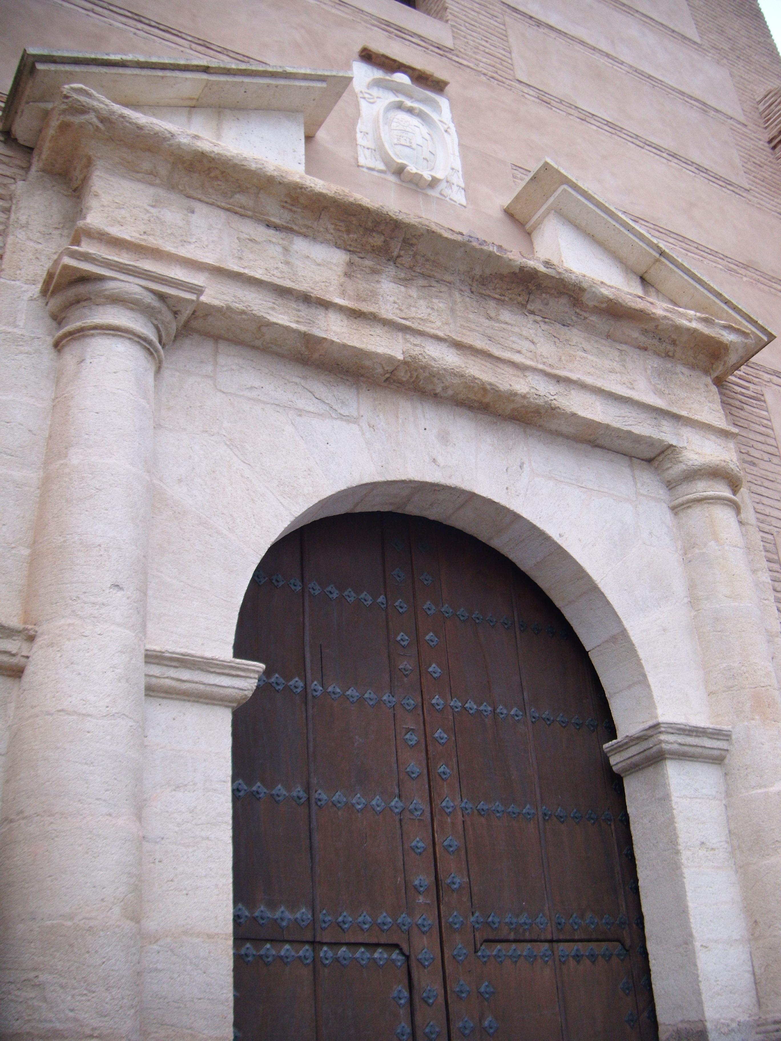
Near the castle and La Anunciación Church, you will find evidence of the town's mining past, traditional architecture, gastronomy, water culture, its celebrations and its traditions, in addition to several rural accommodation establishments with strong roots in two aspects: peace and authenticity.
History
Since prehistory, the town of Serón has been the site of numerous settlements, as made evident through the presence of various caves and grottos of interest. Among the most interesting findings is a bell-shaped cup, produced next to the Almanzora River and spread throughout Europe. The Argaric culture is represented by its cup, which emerged in the Bajo Almanzora area and stretched across an expansive territory in southeast Spain.
With possible Iberian origins and named "Sayrun" or "Sirun" by the Moors (as noted in writing by Inb al-Khatib during the visit he undertook in 1347 to the eastern borders of the Kingdom of Granada), the present-day town was built around its fortress castle (from the 13th century), which enjoyed a prominent role during the Moorish uprisings of the 16th century.
The town and its fortress were conquered in 1489. Following their surrender, they were awarded in lordship by the Catholic monarchs to the Bastetani leader, Mahomat Haçen, and then, following his expulsion to the Berber Coast, they fell under the ownership of Diego López Pacheco, the Marquis of Villena.
The Moorish uprising of 1568 was especially violent in Serón. In July 1569, the Moors took over the fortress and the town, slaying its inhabitants with the exception of children under twelve years old and the women, who they took to the Alpujarra region. In 1570, John of Austria suffered his only defeat against the Moors, which left him close to death, at the so-called Cuesta de la Matanza when 6,000 Moors sent by El Maleh and El Habaquí attacked his troops. Serón was lost, along with the entire Almanzora Valley. They took refuge in the castle with abundant supplies. After the war, the Moors were banished and repopulation was carried out with residents from outside the Kingdom of Granada.
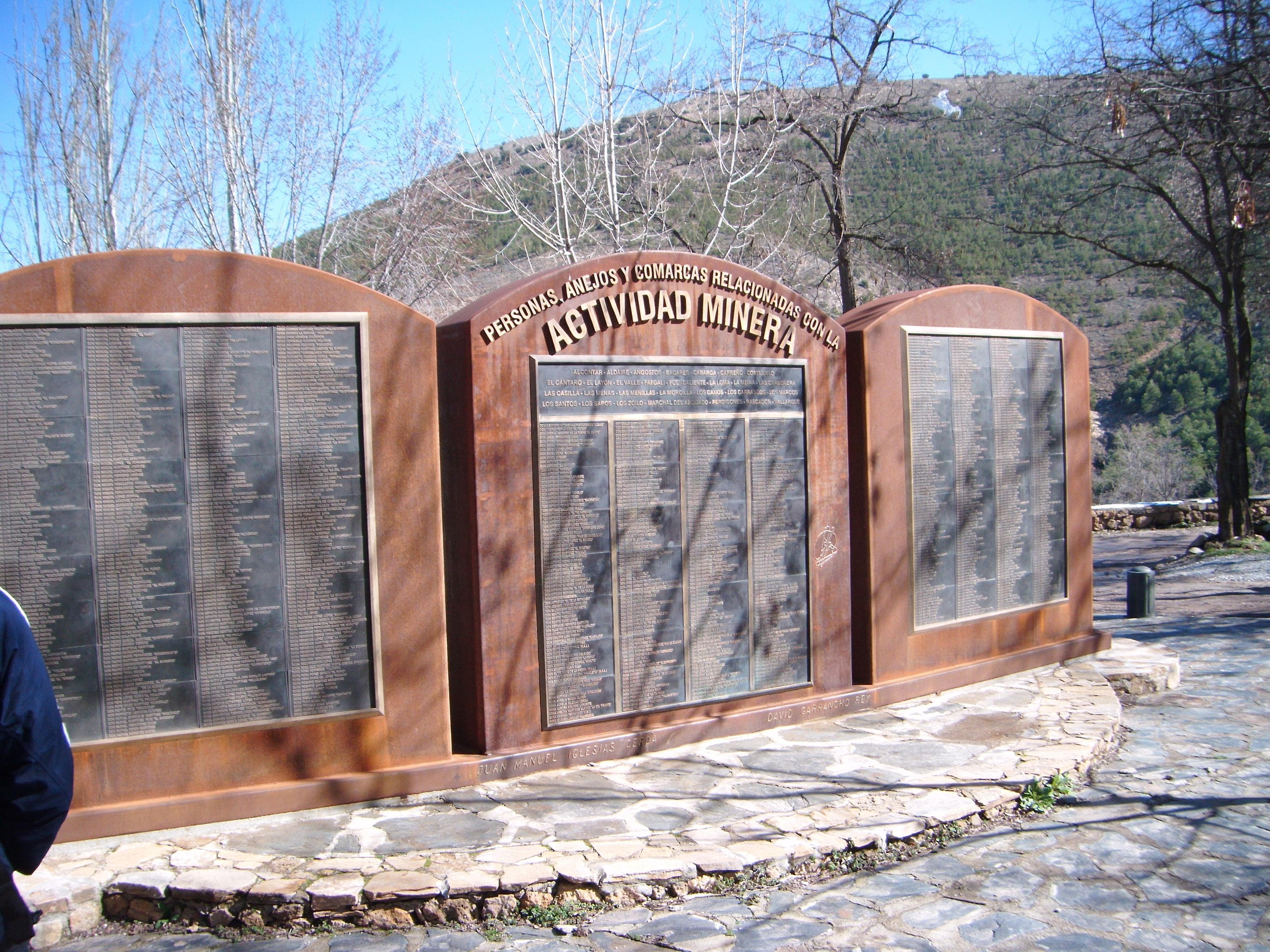
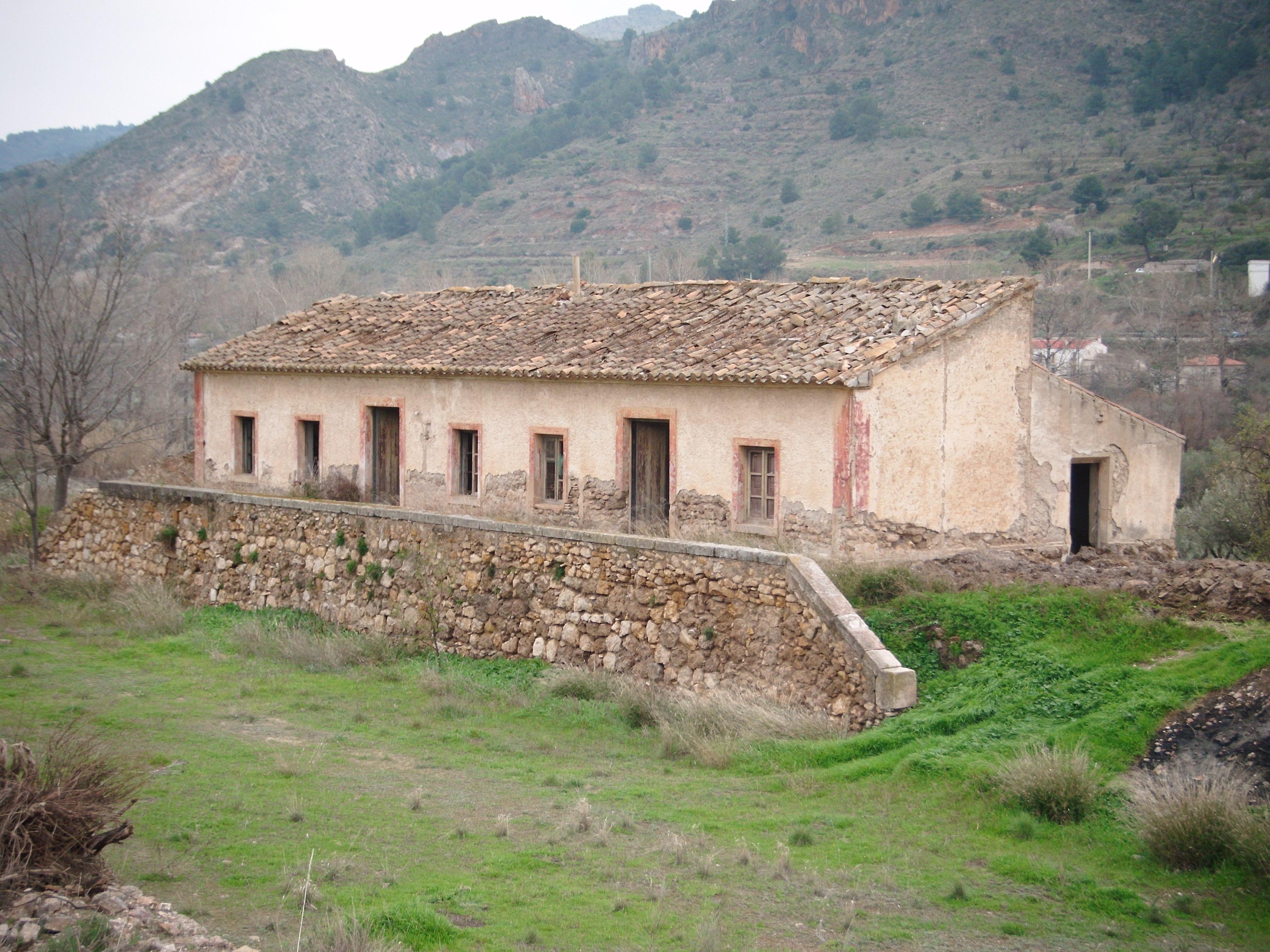
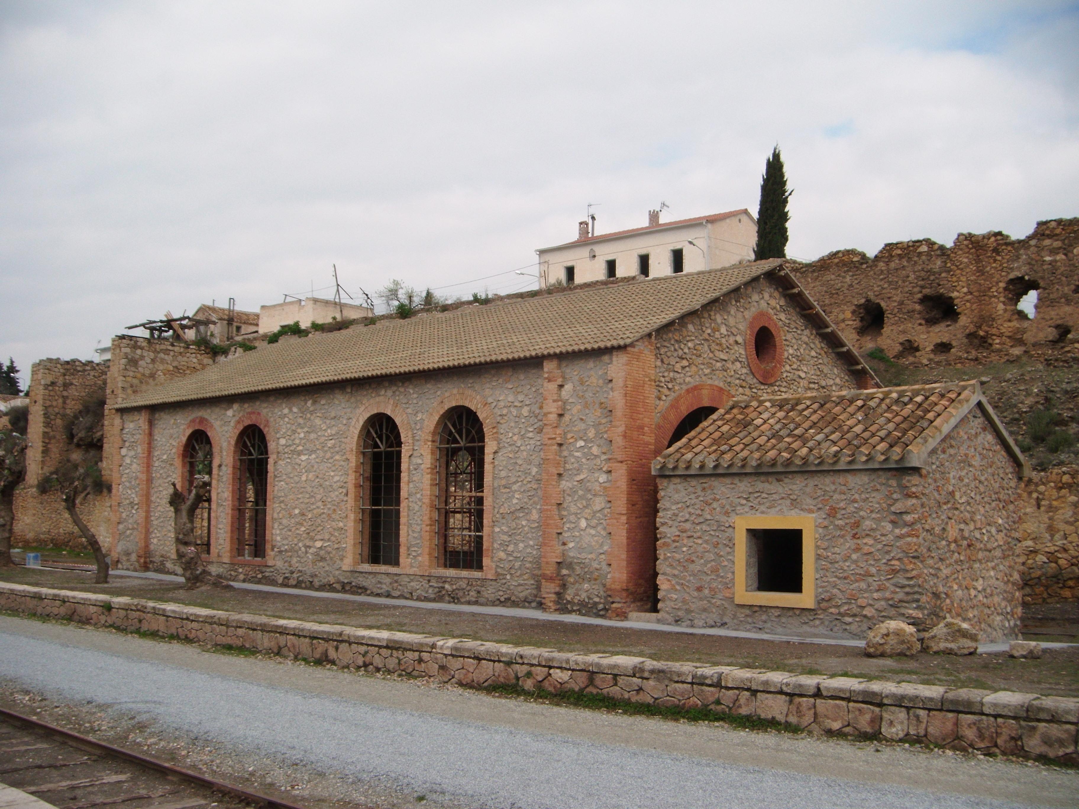
The 19th century brought industrialisation and mining fever with it, which revolved around the area's iron mines. In the year 1845, a nitre centre was discovered in the Angosto area and three factories were built. Mining activity continued throughout the 19th century with resources and companies of English origin. In the 20th century, between the 20s and the 30s, the process was reversed, bringing with it an extended crisis and forced emigration. Mining activity was stopped in 1968.
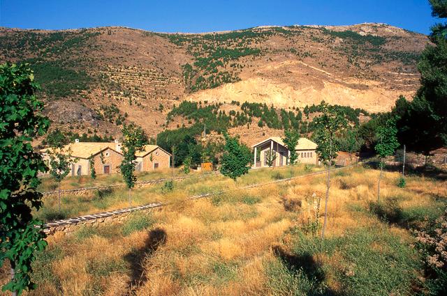
Today, almost all of the 20th century's industrial archaeology is still standing, concentrated in the mining town of Las Menas, as is the rail transport infrastructure in the area's surroundings.

- Max 13
- Min 10
- Max 55
- Min 50
- °C
- °F