
Tahal
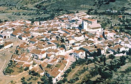
Village situated in the eastern part of the Sierra de los Filabres, next to a gully among almond trees and holm oaks on a mountain slope that faces east.
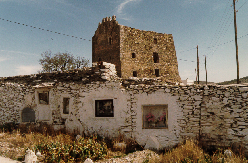
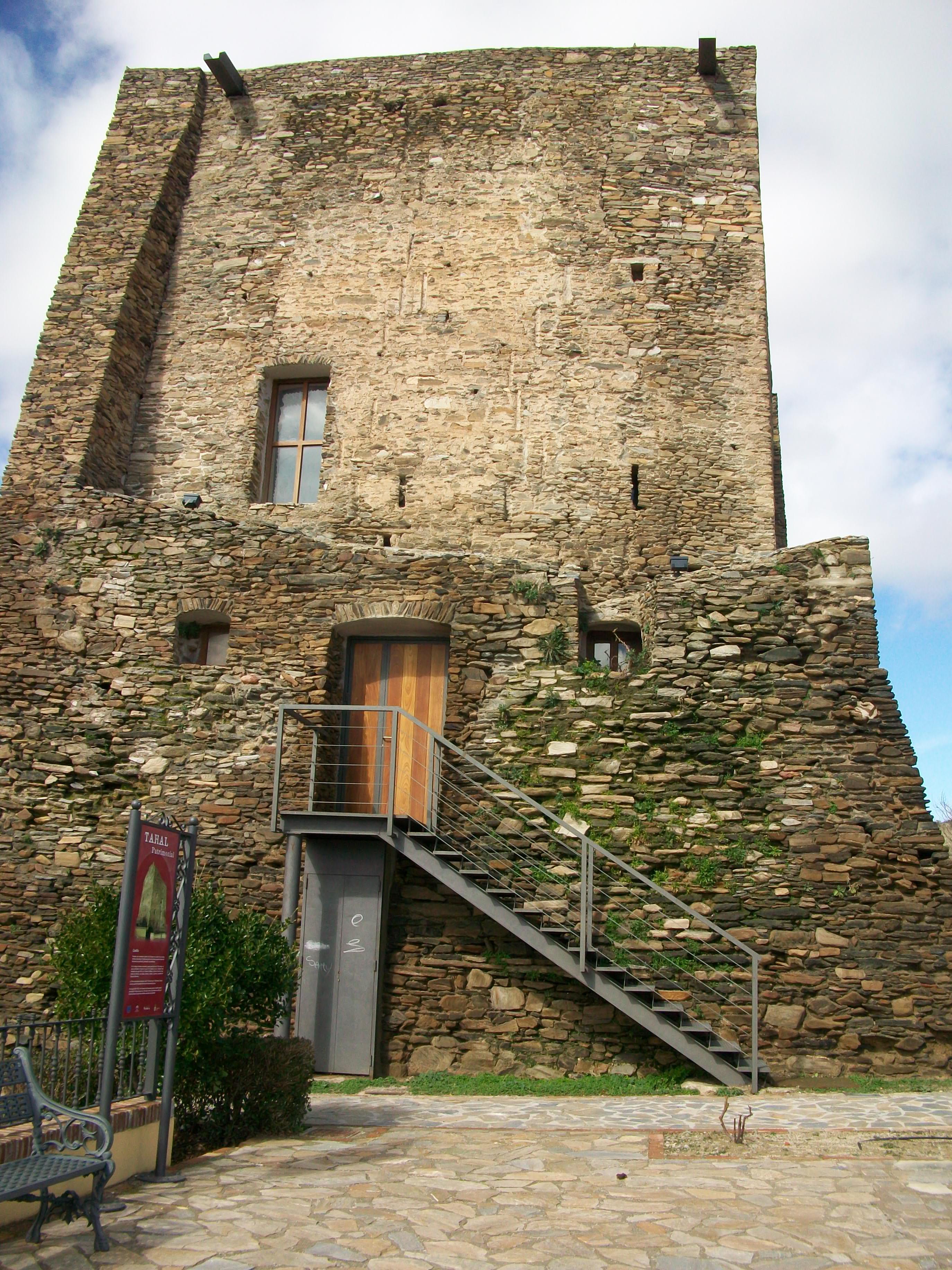
The intense whiteness of its houses stands out. They are graded down steep streets well-adapted to the terrain. The majesty of the parish tower and the historic Castle of los Enríquez are also worthy of a mention.
History
Village situated in the region of Campo de Tabernas, in the eastern part of the Sierra de los Filabres. A place-name of Berber origin which means "Humid Gully". The governor of the estate of los Enriquez lived here; this estate was also called "Tahal Estate". This name was given by the ecclesiastical visitors. Its foundation is attributed to the Arabs from whose times a castle is still preserved in good condition. The Catholic Monarchs conquered it with the name Tahali. They gave it the title of "Villa".It was a traditional place for summer pastures for the livestock from the AREA various traces of a Neolithic past have been found with engravings in Peña de los Chaparrales, Peña de don Diego, Cerro del Mortero, among others. They represent schematic human figures, horseshoes, figures in the shape of a nail etc. From the Bronze Age there are the remains of the Cerro del Mojon, of similar characteristics to those of The Millares.
After the Christian conquest at the end of the XV century, the Catholic Monarchs gave it as an estate to don Enrique Enriquez. The majority of the population on the estate was Moorish with the exception of a few old Christians. The Moorish uprising of 1568 brought with it the death of the majority of the Moorish population through fighting, hunger and illness. The rest were expelled from the Kingdom of Granada in 1570, after the conflict. Repopulation was difficult, in 1572 they had only been able to assemble 12 families. In 1576 there were up to 46 families once security measures for the inhabitants of the AREA had been taken by means of sending 20 soldiers and one corporal to the village.
In the XVIII century the population reached 1,041 inhabitants and passed over to the property of the Marquis of Aguilafuente until the abolition of the estates in 1835.
Currently the people make their living from agriculture and livestock. It has about 2,500 head of sheep and 800 goats. The industrial activity is based on looms for rugs and linen, oil mills and the commercialization of honey. In other times it had flour mills, an oven for tiles and two textile mills for the manufacture of silk cloths and bedspreads.
Tahal
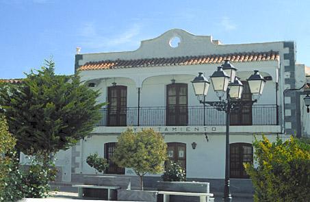
Municipio

The weather today in Tahal
- Max 10
- Min 8
- Max 50
- Min 46
- °C
- °F

Tahal
Tourist area
Distance to the capital (km)
68
Altitude above sea level (m)
1010
Extension (Km 2 )
95
No. of Inhabitants
368
Demonym
Tahalenses
Postal Code
04275
en
Read more


