
Estación de Vuelo Libre de La Pandera (Valdepeñas de Jaén)

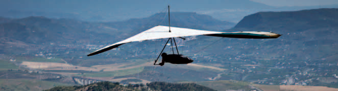
The rugged nature of the Sierra Sur hills, and of La Pandera in particular, provides an exceptional framework for carrying out activities linked to nature and outdoor tourism, such as flying, trekking, cycle tourism or mountain biking (in fact, La Pandera has been the finish line for stages of the Vuelta a España national cycling competition).
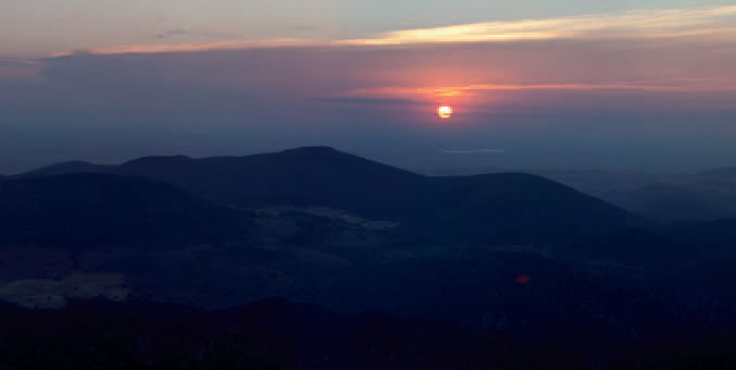
Valdepeñas de Jaén is in the very heart of the Sierra Sur range. It was founded in 1539 in a special spot, surrounded by mountains and located between the Vadillo and Ranera rivers, which join to form the Susana River as they leave the town. However, the most outstanding feature of the place is the wonderful surroundings, with abundant streams and rivers. Sites like the Las Chorreras waterfall and El Cristo de Chircales are splendid examples.
Climate
Its high altitude above sea level, 922 metres, means that it has a typical mountain climate of cold winters, although not bitterly cold, and very pleasant summers. The temperature ranges between a minimum of 1 or 2 degrees centigrade in winter and a maximum of 30 to 35 degrees in the summer.
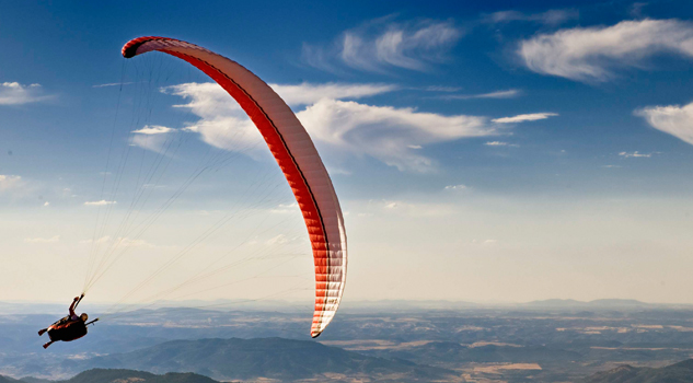
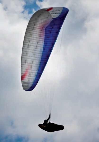
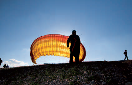
This area is excellent for thermal flying. Flying can be undertaken all year round, although pilots must take particular care in summer, when the thermals are strongest.
Launch sites Launch site Coordinates: 37º 37' 53,28" N / 3º 46' 37,33" W. Orientation: South - Southwest. Altitude: 1,782 metres. Drop: 800 metres. Dimensions: 450 square metres. Access: The only possible access is along the road to La Pandera. From Jaen, take the C3221 road in the direction of Valdepeñas de Jaén. At around kilometre 27, well past the town of Los Villares and the junction for Fuensanta, you will see a surfaced road on the left. There is still an 8-km drive to the summit (you will have to collect the key to the gate from the town hall in Valdepeñas de Jaén). There is an open space for parking of about 1,600 square metres. Precautions: * This is a military area. Landing sites Landing site Coordinates: 37º 36' 47,40" N / 03º 48' 22,96" W. Access: Along a road that is about 240 metres long. Altitude: 948 metres. Obstacles: Be careful with lee winds.
Services and infrastructure
Target audiences
Segments
Type of activity
Season


EXPLORE ANDALUSIA
EXPERIENCES


