
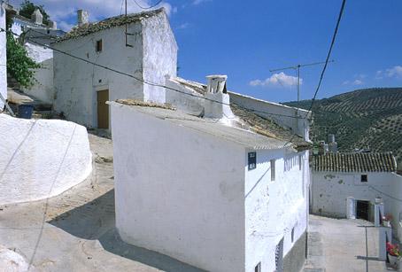
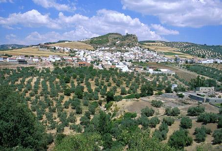
Zagra

Zagra, located west of Granada, is also called surco intrabético since it bisects the Bética mountain range. It also shares the characteristics of this unique AREA as one of the last steps in the high plateau linking the eastern part of Spain with Andalusia.
Its uneven landscape offers a great variety of scenic views. The end of the Iznájar reservoir lies close to this village and is a part of the municipality.
History
The name of this village derives from Arab and means "frontier". Located between the Granada Mountains and Loja, it was the scene, like many of the villages in Poniente Granadino (west side of Granada), of the cruel battles between the Muslims of the Nasrid kingdom and the Christian troops commanded by the Catholic Monarchs in the last moments of the War of Granada.Zagra
Municipio

The weather today in Zagra
- Max 13
- Min 11
- Max 55
- Min 51
- °C
- °F
Zagra
Tourist area
Distance to the capital (km)
72
Altitude above sea level (m)
750
Extension (Km 2 )
15
No. of Inhabitants
1215
Demonym
Zagreños
Postal Code
18311
en
Read more


