
Estación de Vuelo Libre de Alcaudete

The town of Alcaudete (Jaen) is located at the foot of the Sierra Ahillos hills, has a landscape and natural environment that offers spectacular panoramas; this is the gateway to the Sierra Sur and Cordoba province. Its majestic castle and old town rise towards the blue sky, towering over the fertile plains. From these plains comes the produce that is used in the summer months to make Christmas pastries; the sweet fragrance fills the air.
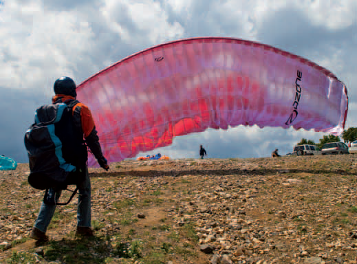
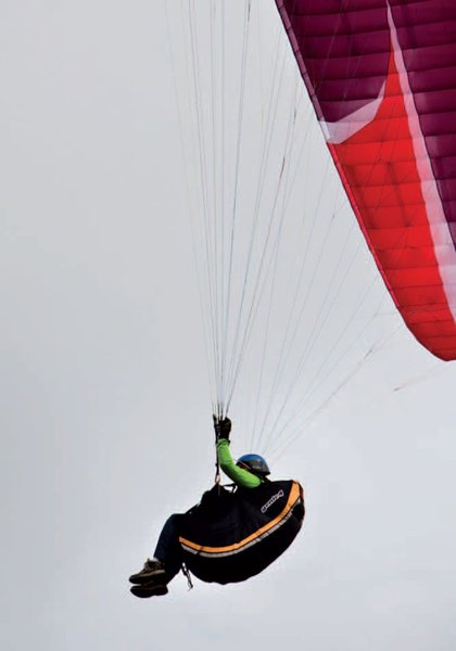
Here, pilots can launch in all directions from launch sites within a five kilometre radius, so there are multiple flying opportunities. If there are no strong winds or rain, there is guaranteed flying every day. In the second half of July a paragliding and paramotoring event is held.
Climate
The climate in the Alcaudete municipality is continental Mediterranean, with rainy and cold winters, and hot, dry summers. As regards winds, northwest and west winds predominate.
The area's north winds in winter are famous, since they allow hours of thermal flying with conditions very similar to those at a beach (the wind is very steady towards the hillside, since there are no natural obstacles present).
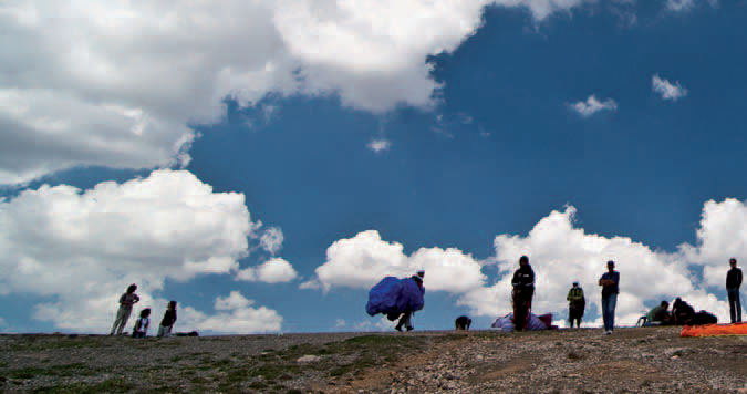
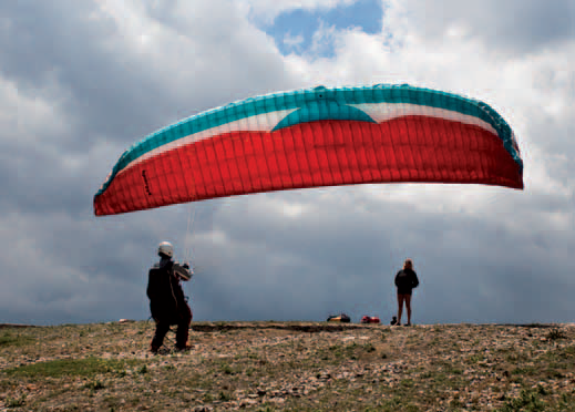
Launch sites Sierra Caracolera Coordinates: 37º 37' 15,35" N / 4º 00' 46,63" W. Orientation: North. Altitude: 1,270 metres. Drop: 650 metres. Dimensions: Approximately 70 square metres. Parking: None. Vehicles must be left about 100 metres from the flight area. Access: Access to the north launch site can be done in a 4x4 vehicle and there is no need to walk. Precautions: * Easy, smooth launch for forward inflation. Cerro García to Cortijo Portillo Coordinates: 37º 36' 46,97" N / 4º 00' 46,50" W. Orientation: West, West-Southwest, East. Altitude: 1,195 metres. Drop: 250 metres. Dimensions: Approx. 200 square metres. Parking: There is a car park of approximately 500 square metres. Access: Access to the launch site by ordinary car, distance from the car to the launch site of about 50 metres. Precautions: * The school launch site has a lot of clear space, perfect for beginner pilots. Ahillos to Alcaudete Coordinates: 37º 35' 58,83" N / 4º 01' 50,58" W. Orientation: North, South. Altitude: 1,373 metres. Drop: 720 metres. Dimensions: Approximately 150 square metres. Parking: None. 4x4 vehicles must be left near the hut, leaving a 600- metre walk to the flying area. Access: Surfaced access track and flying area. Facilities: Weather station. Precautions: * Launch site is not suitable for beginners. * When the wind is coming from the south at more than 25 km/hour, it is difficult to reach the landing sites, since the whole route is undertaken with the wind in the flyer's face. Morrón to Alcaudete Coordinates: 37º 35' 29,27" N / 4º 03' 0,72" W. Orientation: North, West, Southwest. Altitude: 1,086 metres. Drop: 400 metres. Dimensions: About 1,000 square metres. Parking: Yes, in the area near the flying site (capacity of around 10 vehicles). Access: With a 4x4 up to about 300 metres from the flying area. Facilities: Windsocks and haystacks to protect the wings on the ground. Precautions: * Clear, west-facing launch for forward inflation; More difficult north and southwest launch sites (only reverse launches, with little margin for movement). It is necessary to clear the stones away from the north and southwest launch sites. Landing sites Sierra Ahillos y Morrón landing site Coordinates: 37º 35' 07,67" N / 4º 04' 24,58" W. Access: Located beside the park, just before the football ground. Altitude: 674 metres. Dimensions: Large, about 400 x 200 metres. Parking: Yes, around the Fuensanta park. Precautions: When the wind is coming from the south at more than 25 km/hour, it is difficult to reach the landing sites, since the wind is in the flyer's face almost all the time. Cerro García to Cortijo Portillo landing site Coordinates: 37º 36' 24,76" N / 4º 01' 06,72" W. Access: With any kind of vehicle. Altitude: 990 metres. Facilities: Windsocks and haystacks to protect the wings on the ground. Parking: Yes. Precautions: The school landing site is very open and clear, perfect for beginner pilots. Sierra Caracolera and Cerro García East landing site Coordinates: 37º 38' 06,27" N / 3º 59' 19,75" W. Access: Located at the Las Casillas football ground or at the edge of the reservoir (if lacking in precision); spacious enough for hang gliders. Altitude: 531 metres. Facilities: Windsocks and haystacks to protect the wings on the ground. Parking: Plenty of space at the reservoir tailwaters. Obstacles: Landing site very open and clear, perfect for beginner pilots.


Services and infrastructure
Target audiences
Segments
Type of activity
Season


EXPLORE ANDALUSIA
EXPERIENCES


