El Saúco Trail (Alcóntar – Las Carboneras) - PR–A 12
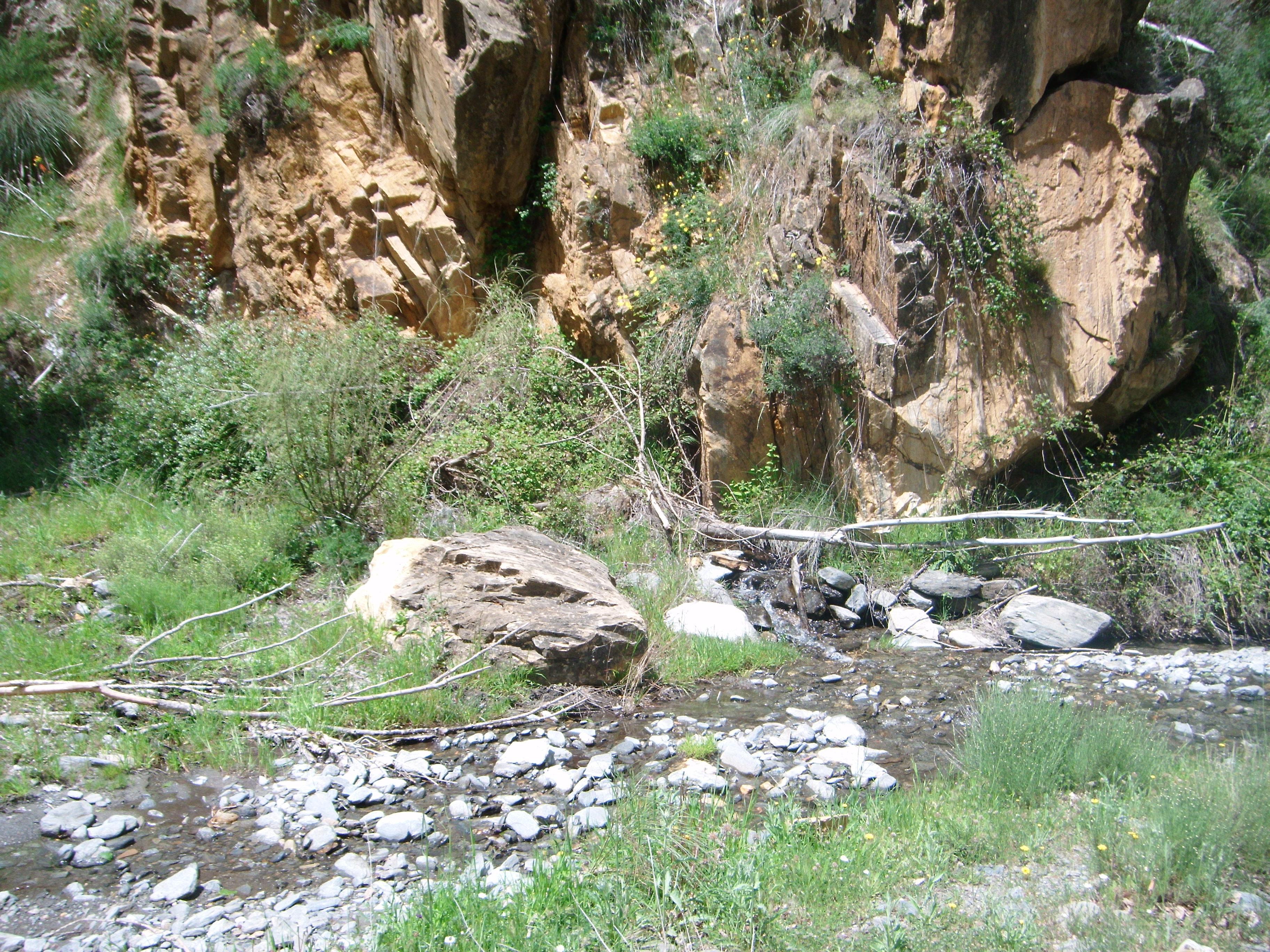
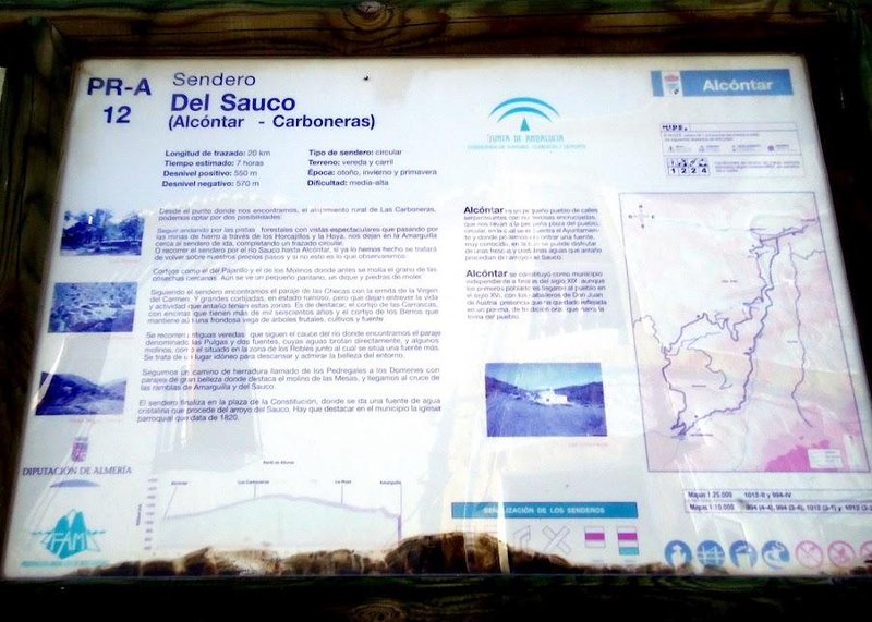
The route of the El Saúco (Alcóntar - Las Carboneras) - PR-A 12 Trail is in the municipality of Alcóntar, a town in the province of Almeria on the north face of the Sierra de los Filabres, bordering with the province of Granada to the west.
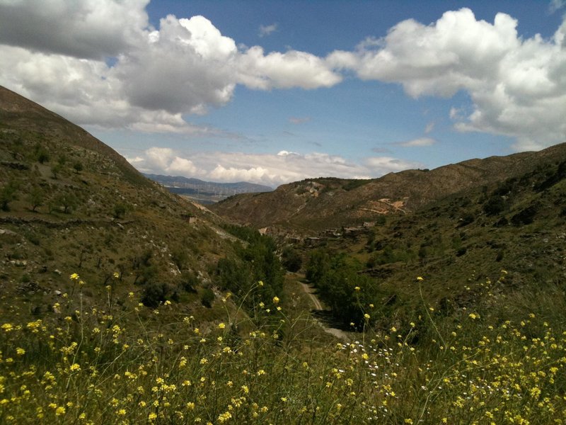
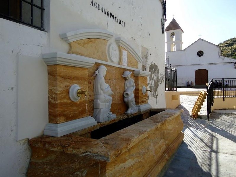
The El Saúco Trail starts in plaza de La Constitución, at the fountain with its crystal-clear water. Follow paths along the course of the Saúco river to Los Pintaos (where people still live today) and continue along the bridle path, the Pedregales to los Domenes path, which has the most beautiful landscape, from where you can see the Mesa mill.
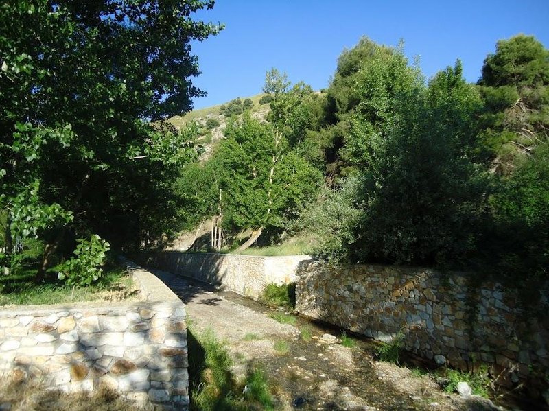
Continue along the river, taking advantage of old paths, and you will reach Robles, where there is also a mill and a fountain, now used for irrigation water that is collected in a reservoir at night and goes to the Domenes mill, where it is distributed for the irrigation farmers.
Continuing along the river, we come to the Cortijo las Pulgas which is noteworthy because of its water fountain that gushes in a straight line.
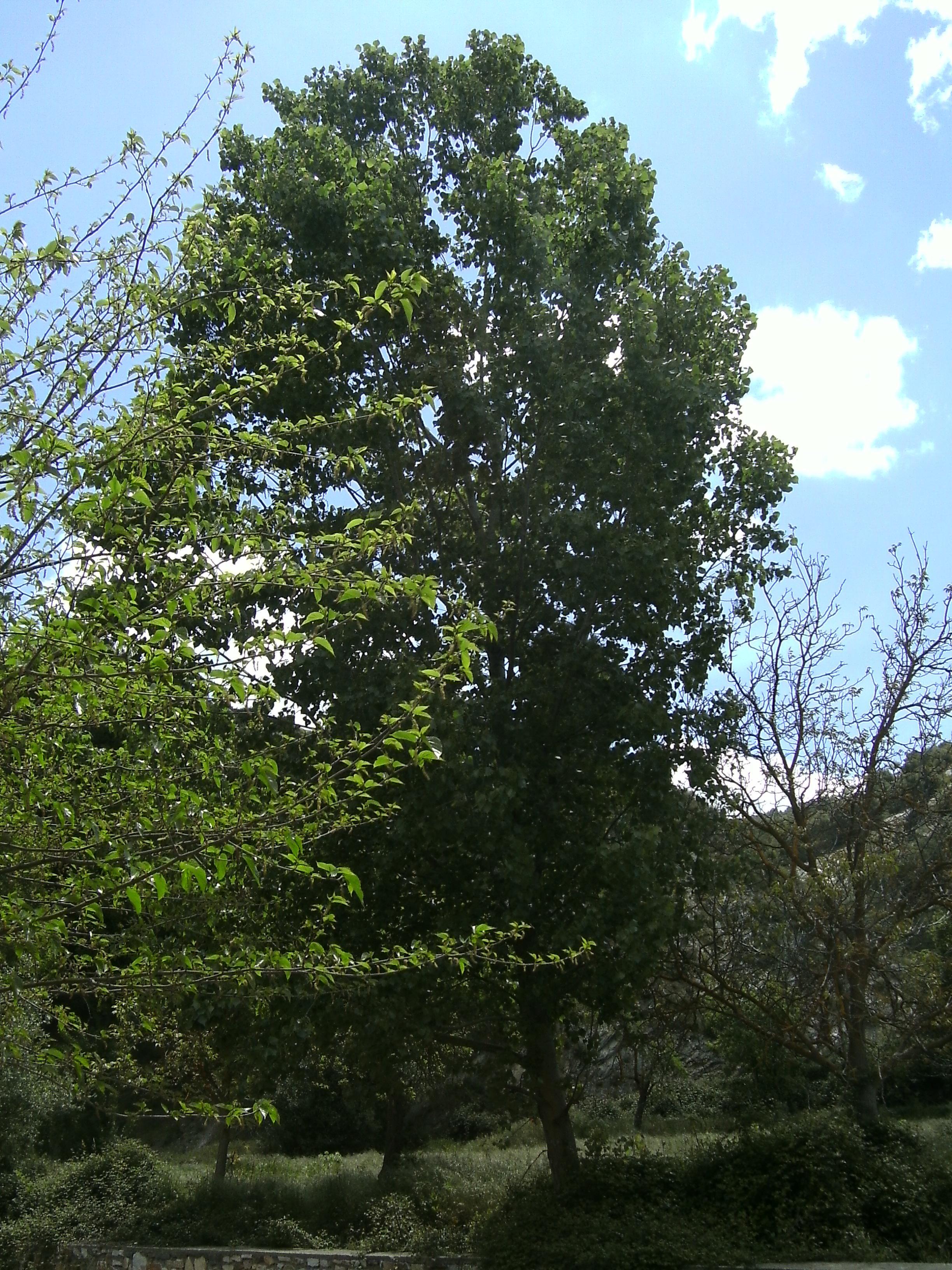
Follow the path until you reach Los Berros farmhouse, where the usual landscape changes to a lush valley of fruit trees, surrounded by crops and a spring. Then the path leads to Cortijo de Las Carrascas, of great interest due to its oak trees that are the highest in the region, and according to the locals over 1,600 years old. Following the river bed, you reach the Checas where this is an abandoned shrine of the Virgin of the Rosary and ruins of houses.
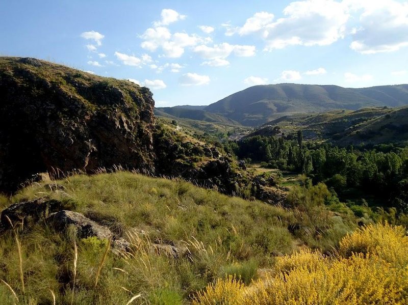
From there to the village of Carboneras, the route is a horseshow path which is exquisite, and you can enjoy a wonderful landscape as you pass several farmhouses, such as the Pajarillo and Los Tres Morales farms, also called the Molinos because there were so many. Traditionally, they were used to grind the grain taking advantage of the fact that the Saúco and Las Carboneras rivers joined up here.
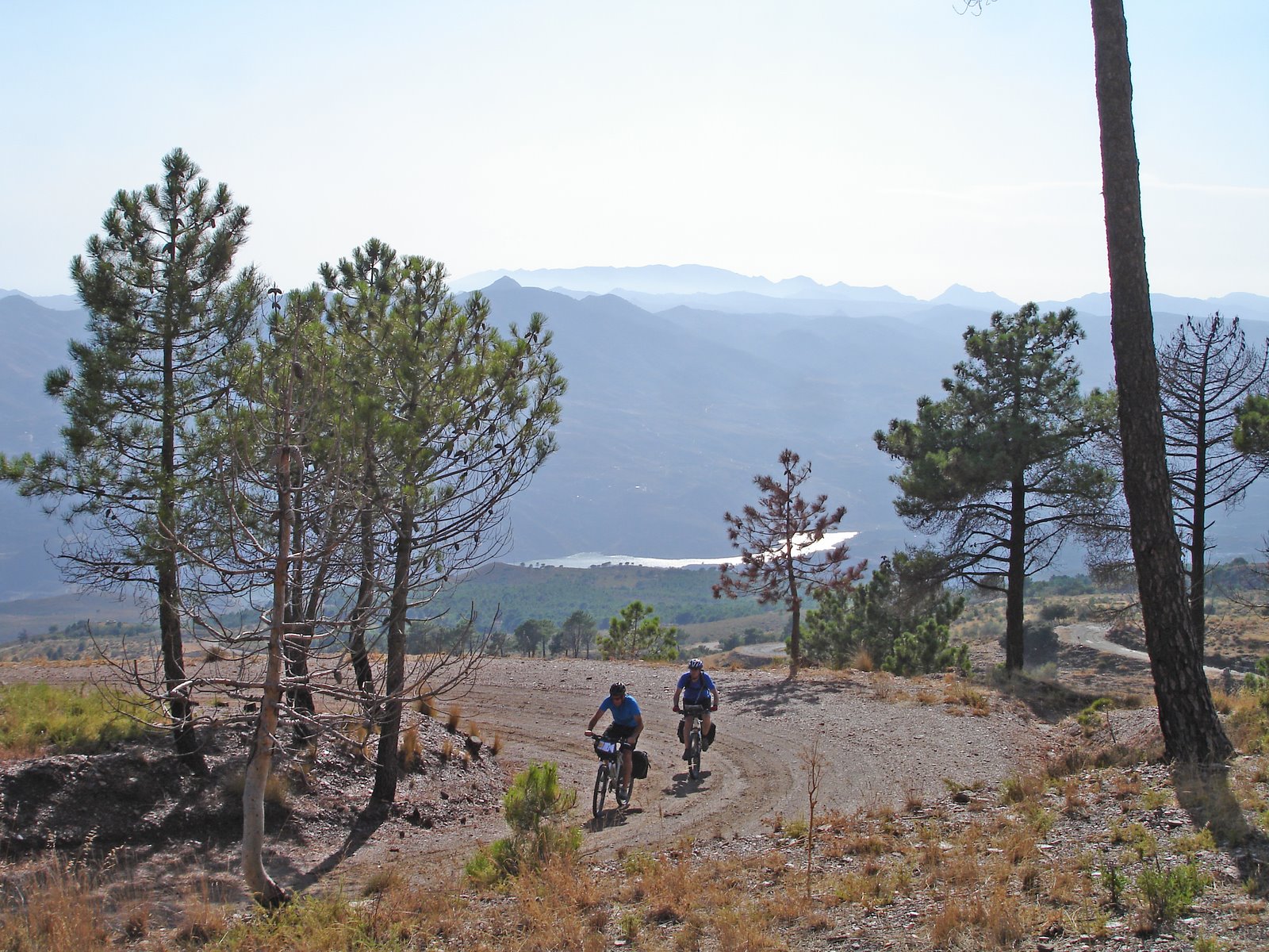
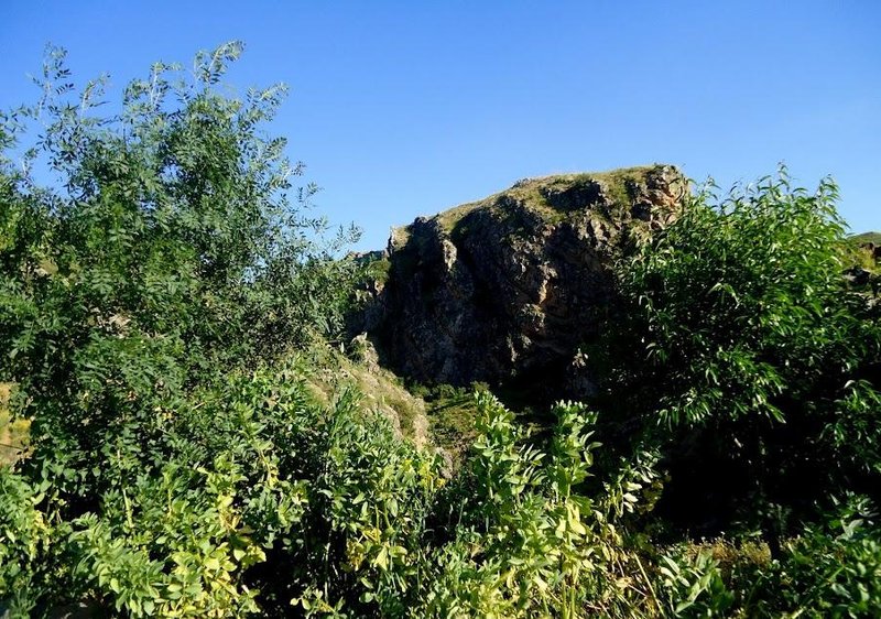
Continuing along the mule trail surrounded by oaks, pines and scrubland, after passing beside Los Migueles and Andreses, you reach Carboneras, which used to be an old village that is now abandoned of more than 50 families that lived off coal and supplied most of the province.
The path continues to ascend through forest trails, passing through Horcajillos, and heads towards La Hoya , reaching Amarguilla on a route close to the initial path on the way out, passing by iron mines.
Type of Trail: Circular. Trail Status: Approved and Signposted 2007. Total Length: 19.8 km. Sections: 1 Accessibility: It can be done on foot. Download Brochure
Itineraries
Services and infrastructure
Target audiences
Segments
Season
You may be interested
