
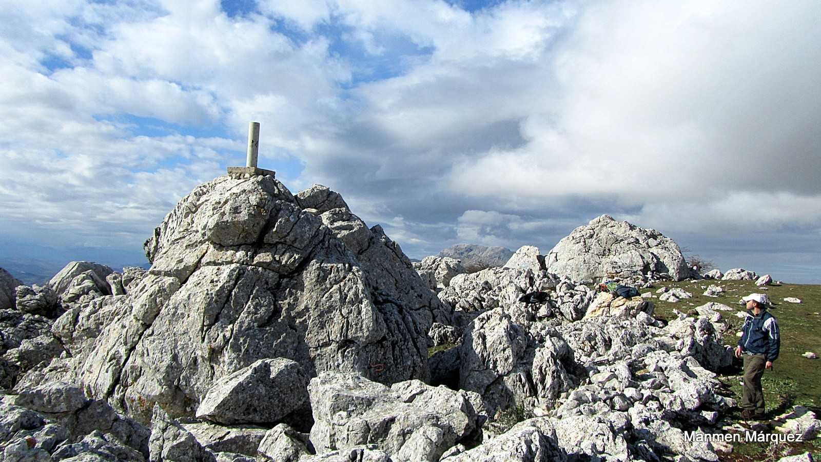
Las Pilas' Route
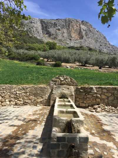
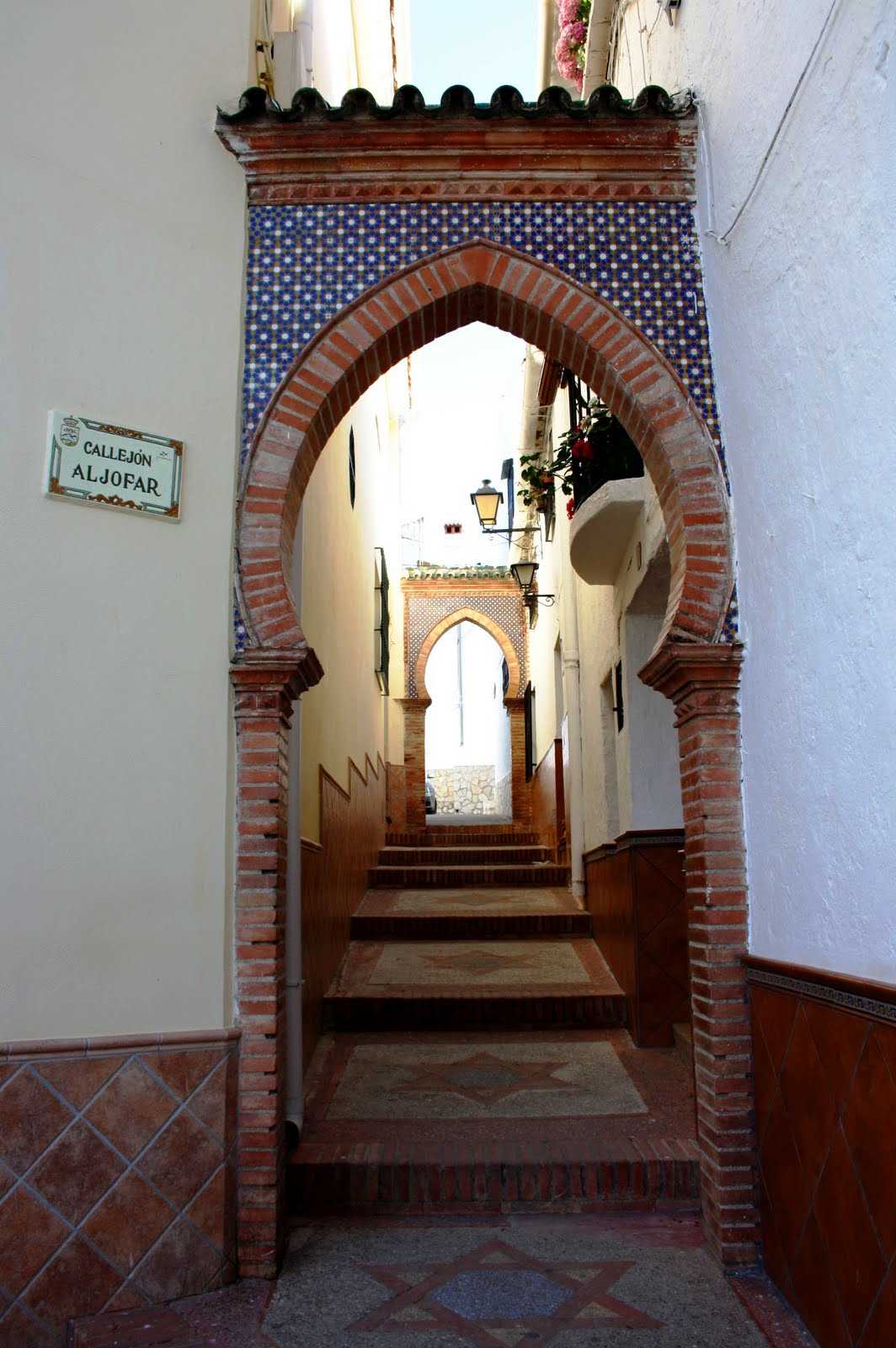
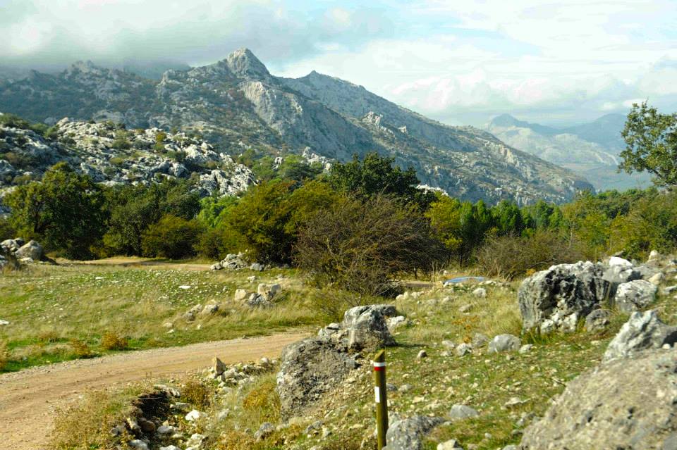
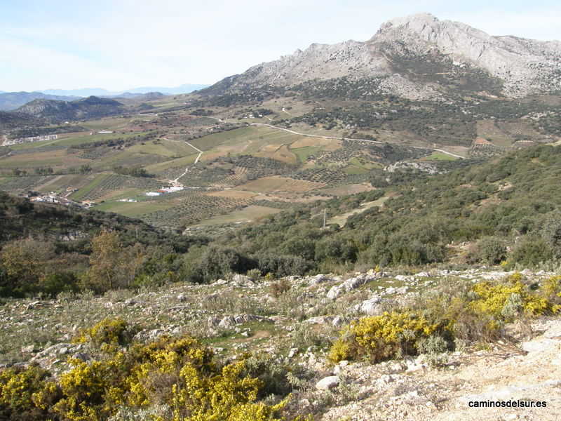
It comprises a marked path that leads to the place where various "pilas" are found. These are old sources that supplied water for domestic consumption in the past when there was no running water in the homes. Currently, these "pilas" serve as troughs for livestock and are also suitable for human consumption. This route crosses lanes and paths where the cultivation of cereals, vegetables, legumes, olive trees and almond trees are abundant. The first stop, the "pilas" of the Cerezal, has its access through a bridge dating from Roman times that crosses the stream Morales, called Bridge of the Two Eyes. Following the path, we find the spring of the stream Morales and then, the "pilas" of the Prado de Herrera and those of Barrionuevo. Continuing the tour, on the hill of Castillejo, we will find other ancient "pilas", these ones restored, a centenarian walnut tree and remains of walls and Arabic ceramics. The route is signposted so it does not involve any difficulty; it is a route of medium difficulty, not because of the altitude reached but for the length, 12.7 km.
en
Read more
Itineraries
Contact information
Copied to clipboard
Services and infrastructure
Target audiences
I travel alone, For families, Friends, Couples, Lgbti, young people
Segments
Cyclotourism, Nature, Sports
Type of activity
Hiking, Biking
Specialties
Routes of andalusian landscapes (Nature Routes), - (Nature Routes)
Season
All year
You may be interested
Casares, Sedella, Ardales, Salares, ...
Alfarnate
Alfarnate


EXPLORE ANDALUSIA
EXPERIENCES


