
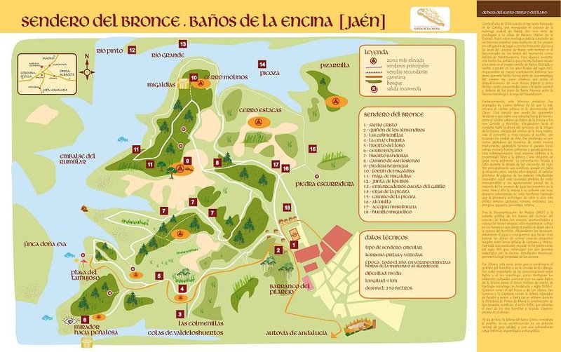
Bronze Route Trail – PR-A 288
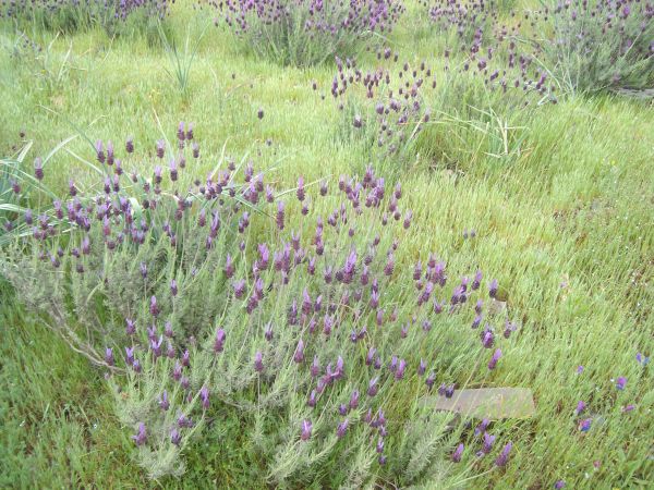
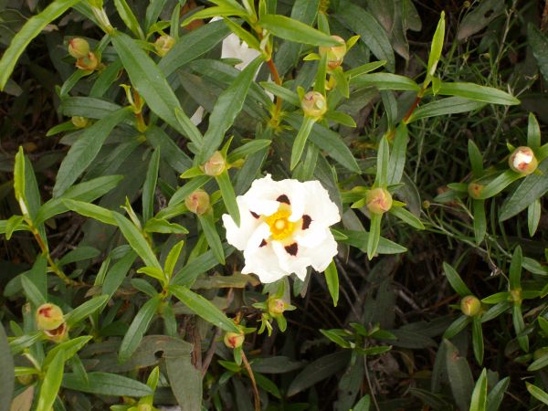
Promenade between rockroses, rosemary and lavender through the recent prehistory of the Rumblar Valley.
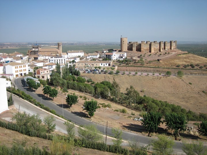
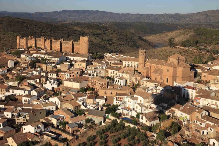
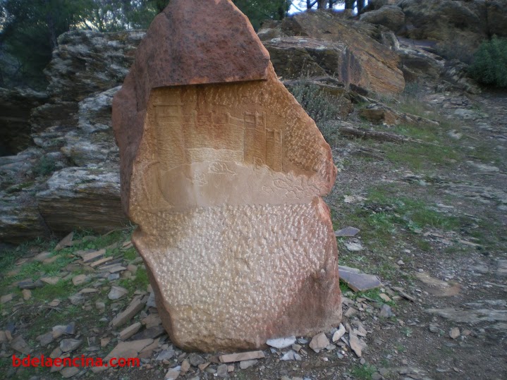
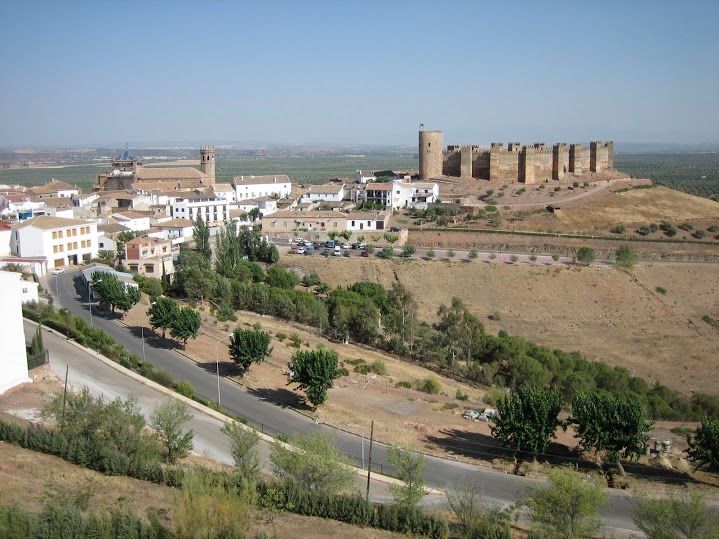
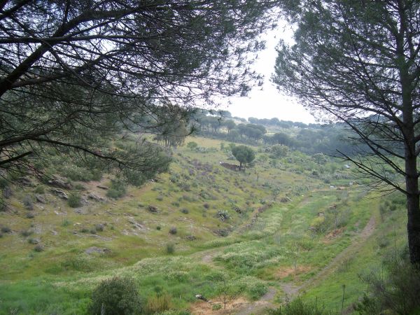
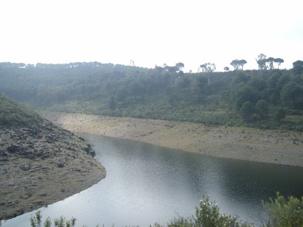
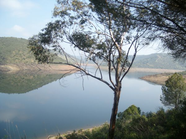
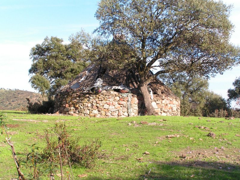
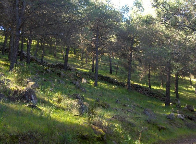
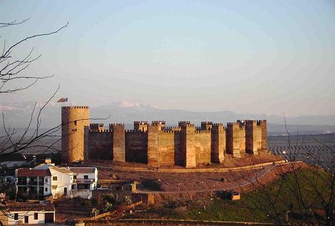
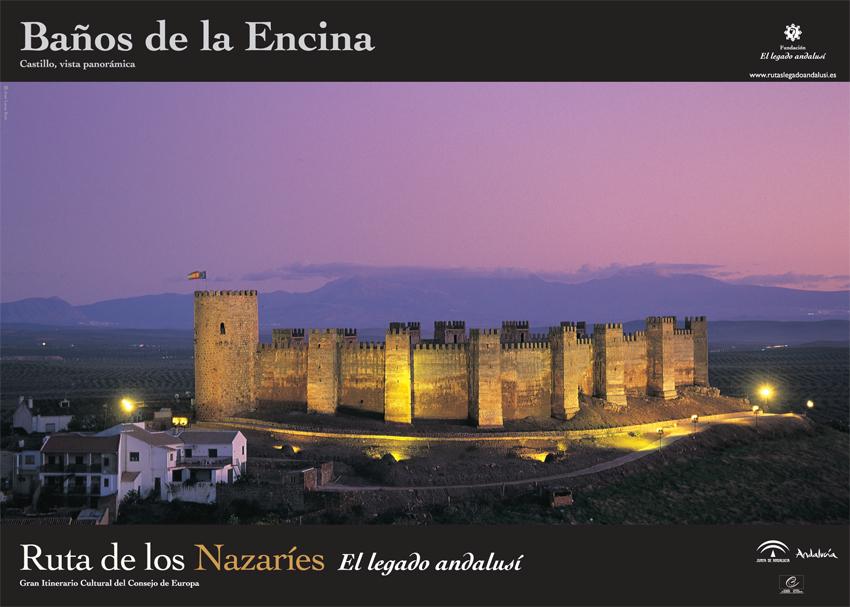
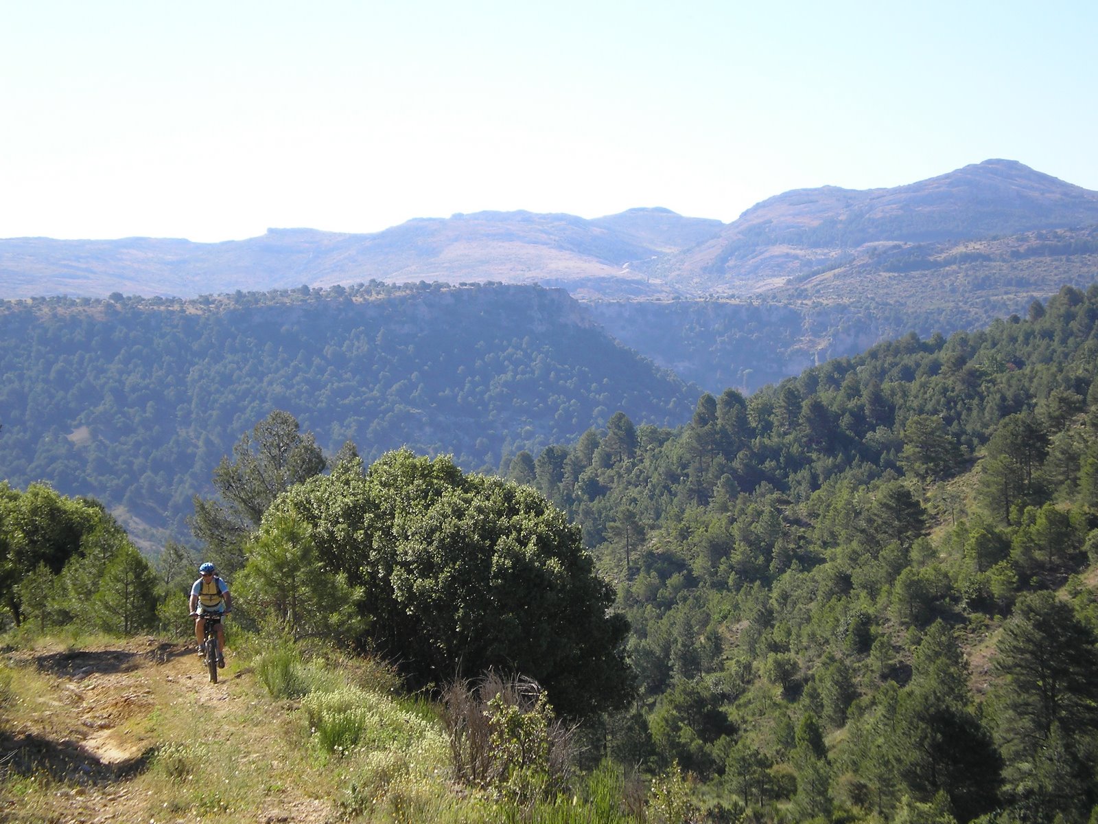
The Bronze Route Trail – PR-A 288 is in Baños de la Encina, in the heart of the Sierra Morena Mountains. It lies in the vicinity of the Rumblar Reservoir, a natural setting, where the highlights are the landscapes and the archaeological ruins of “Piedra Bermeja” of the Argaric culture, belonging to the Bronze Age. Its surroundings are formed by a pine forest and reforested eucalyptus trees, and dotted with olive trees and vineyards.
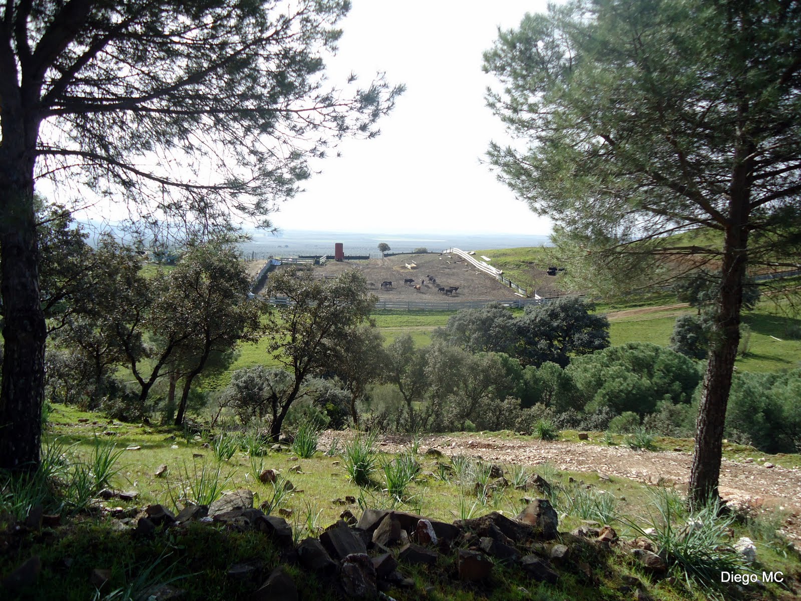
We start this trail in Baños de la Encina next to the sports area and football pitch. To the left, beside a metal post, there is a track that runs between fields of livestock and horses to enter the pine forests and start going downhill, towards the Rumblar Reservoir.
Without touching the road that goes down to the reservoir and after a few crossroads and passing a heliport, we arrive at the area of beaches belonging to Tamujoso or Rumblar, which is frequented by the locals and where the tarmac road ends. The trail continues along a track that borders the reservoir.
The path comes to the place where the Jamilena River enters the reservoir; the trail becomes separated between eucalyptus trees but we descend to the stream along a path, and then go up and climb over a wire fence that leads to a track which is ascending.
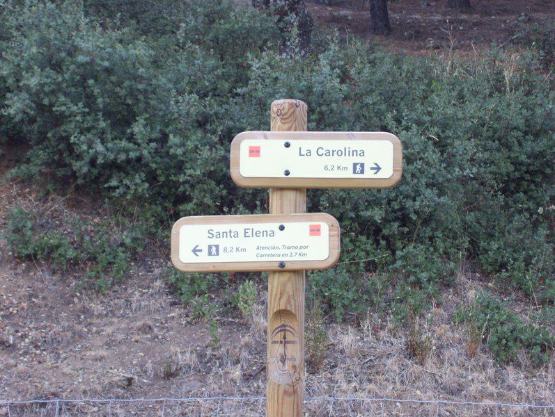
After reaching the top of the hill, at a crossroads where we must not let ourselves get confused by some signposts for a local path, the trail starts a descent towards a narrow tip of the Rumblar Reservoir and the Paridero River. The tranquil surroundings and proximity to the riverbank will oblige us to take a rest.
After going up a steep path, the trail flattens out along a trail where there is a fence that surrounds fruit trees and vines; we turn left and immediately come to a new crossroad very near the start of the route; to continue, we turn left again.
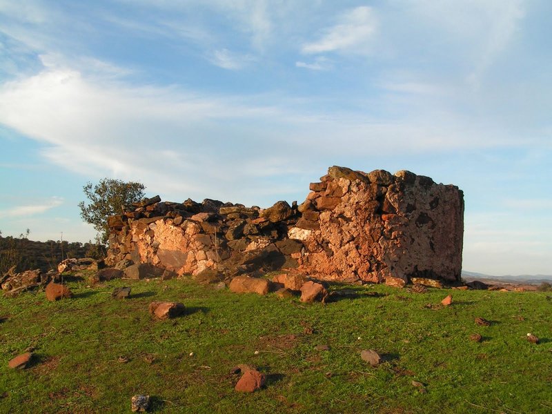
After meeting the trail that leads to the reservoir, we reach an important crossroads in an area where there are lots of granite stones, and the traveller has two options: continue down along an old road towards Baños de la Encina or take the trail to “Migaldías “or “Piedras Bermejas" 1 km away.
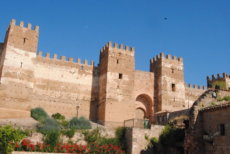
In Migaldías, there is a restored prehistoric fort from the Bronze Age, and an exceptional natural viewing point over the whole valley formed by the Rumblar River.
Back at the crossroads that leads to Migaldías, we descend via a track that runs parallel to the Alcubilla River, which leads us to the Alcubilla recreational area in the shade of the eucalyptus trees, where the tranquil surroundings invite us to rest and recharge our batteries, before a steep climb.
This route returns to Baños de la Encina next to some fields.
Type of Trail: Circular. Trail Status: Approved and signposted 2004. Total Length: 9 km. Stages: 1 Accessibility: Suitable for walking, mountain biking and horse riding. Download Topographic Guide
Itineraries
Services and infrastructure
Segments
Season
You may be interested


EXPLORE ANDALUSIA
EXPERIENCES


