
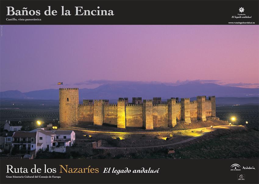
Yacimiento Verónica Trail – PR-A 289
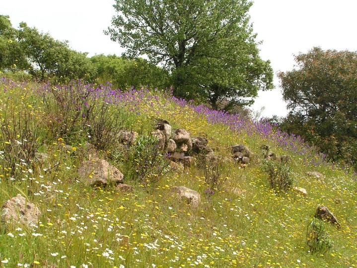
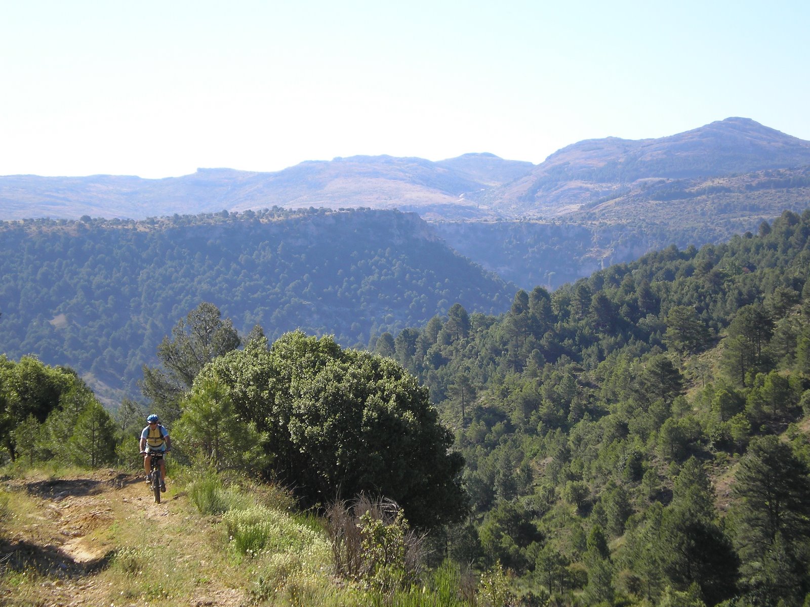
Among holm oaks, rock rose and gorse, riding across the Bailén-La Carolina fault, which forms a balcony over the valley, between the green olive grove that licks the foothills of the Sierra to the south and the resilience of the mountain vegetation, fighting to emerge between replanted stone pines. The Bronze Age settlement of Verónica bears witness to the importance of this land.
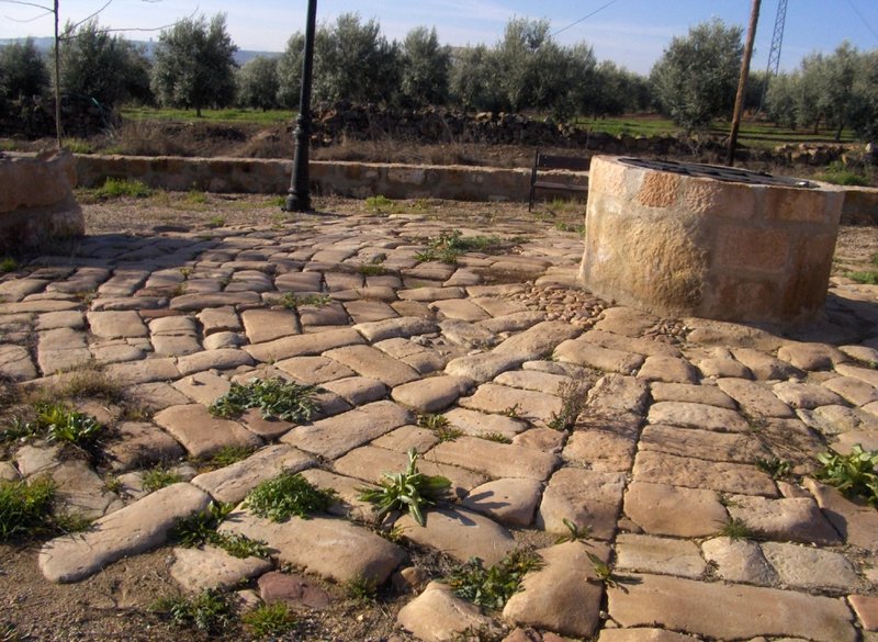
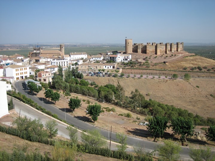
The Yacimiento Verónica trail – 289 PR-A begins in Baños de la Encina, in the heart of the Sierra Morena; on Calle Trinidad, we leave the village on the lane to the Casa de Huerta Zambrana, passing by the beautiful mine shafts and reaching the J-604 road.
We continue to the left, on the road for about 60 metres, and we find an oil mill and the Majadavieja lane which leads to the Cortijo de Lentisco country house, the “Jesús del Camino” hermitage and the "Virgin del Encina” sanctuary.
We leave the path to the hermitages and turn left to enter the olive grove. We leave the olive grove and the path that returns to Baños to begin a climb up to a fork in the path.
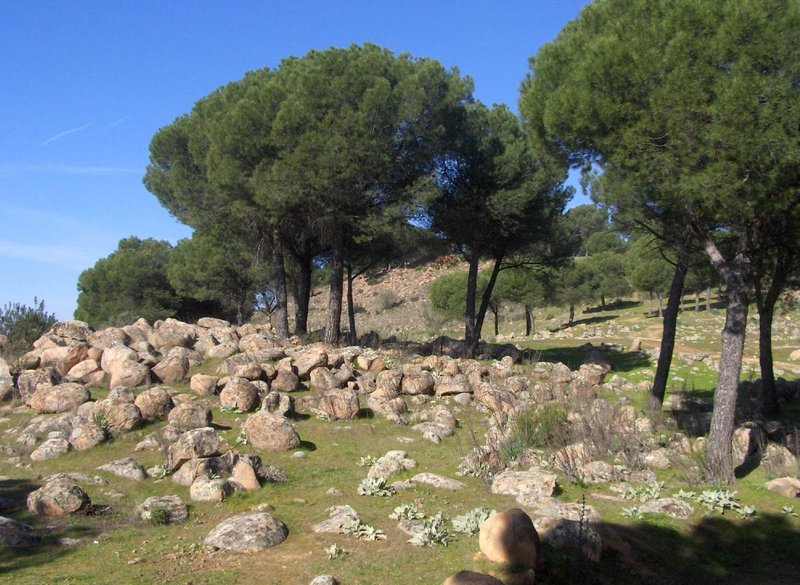
After another junction we reach the top of a hillock and a closed off rubbish tip next to several granite blocks. We continue on a narrow track that crosses the watershed, where the impressive views on both sides are worth the effort.
The path ambles by meadows between stone pines, holm oaks, and gorse. On the left a path branches off which leads to some beehives. We will be careful of any livestock there may be. Then we find a steep slope in the road.
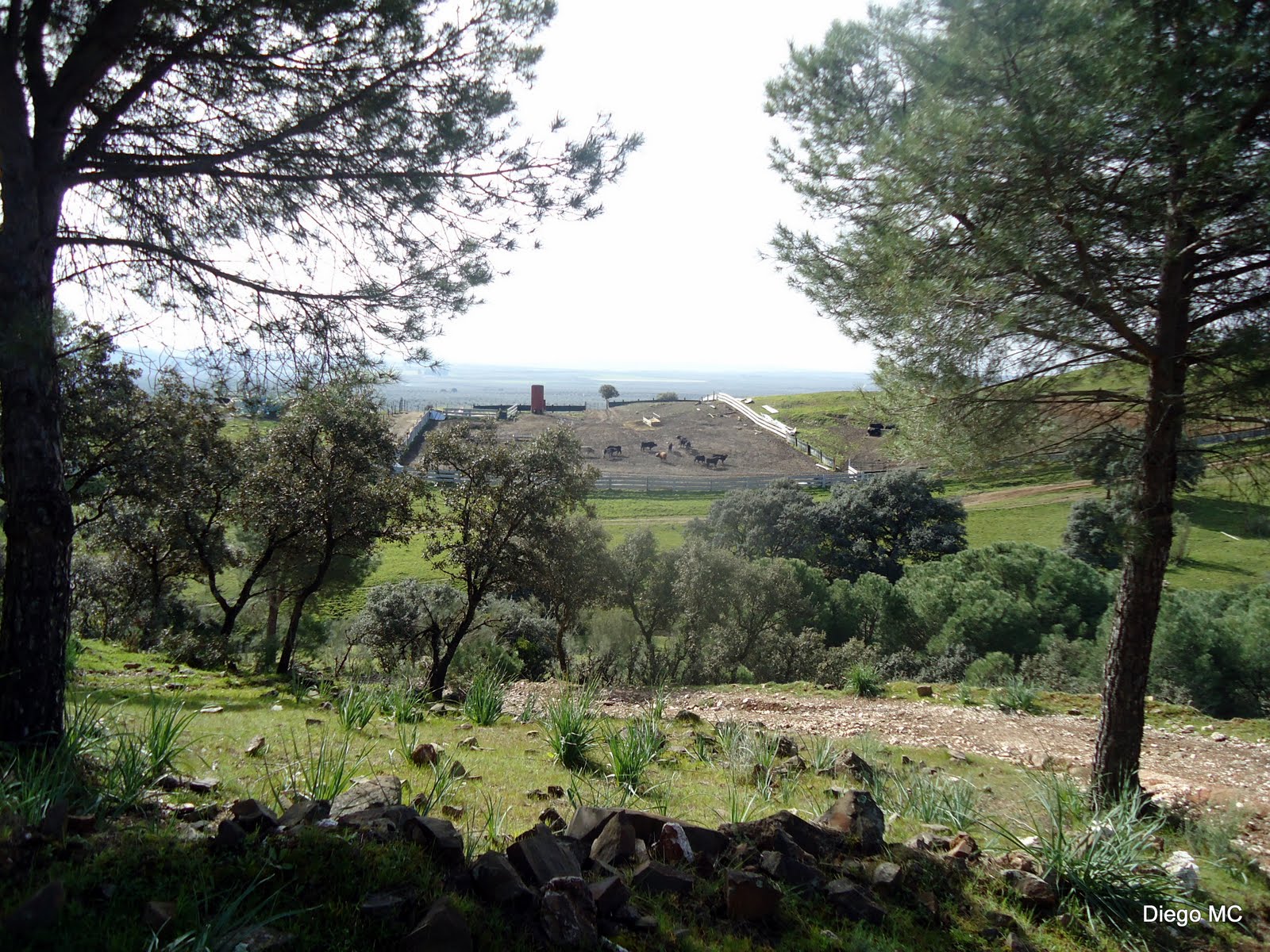
At the end of the slope we will reach the river bed formed by “Rumblarejo” stream, where there is wire fencing preventing us getting through. We will continue along the firewalls that appear on the left, and we will climb their steep slope. We will walk parallel to a wire fence through which it is easy to see wild cattle. Be careful!
After a flat area and before starting to descend from these firewalls, we will take a path on the left that leads to the settlement of Verónica.
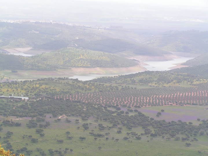
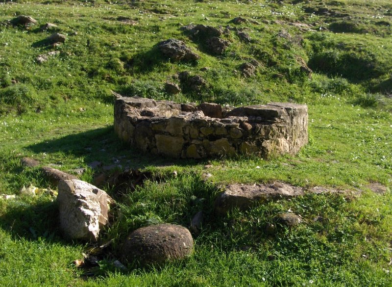
We reach the archaeological remains of Verónica, 4,000 years old and still to be restored, which is a fortification of Argaric origin, a vestige from the Bronze Age where the view of the valley of the Río Rumblar, Río Grande and Río Pinto rivers justify our walk.
From this natural enclave, one of the most beautiful in Baños del Encina, we can see, on another hill, the remains of the "Piedras Bermejas" fortification.
Type of Trail:Linear. Trail Status: Approved and Signposted 2004. Total Length: 6.5 km. Sections: 1 Accessibility: Suitable for walking, mountain biking and horse riding. Download Topographic Guide
Itineraries

Services and infrastructure
Target audiences
Segments
Season
You may be interested


EXPLORE ANDALUSIA
EXPERIENCES


