
Vega de Benalúa Trail - PR-A 159
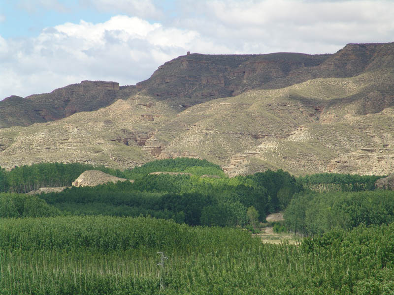
The Vega de Benalúa Trail - PR-A 159 proposes a nice walk through the Benalúa plains. The starting point is the secondary road that links Benalúa and Fonelas. From there, along an unpaved lane, we continue walking through orchards full of peach trees, the most abundant fruit tree in this area. Shortly before we reach the Fardes River and the Fonelas Train Station, we will cross the tracks to follow a dirt track which, partly, follows the old Colada de Paulenca cattle trail until we get to the banks of the river Guadix, very near where it meets the Fardes. Following the trail upriver, we will come out onto the Benalúa - Bejarín regional road, where the walk ends.
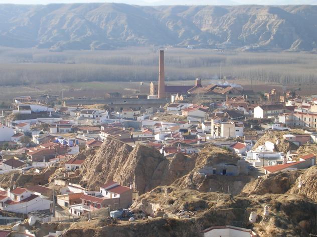
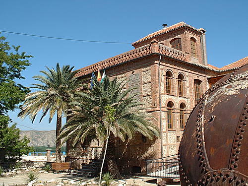
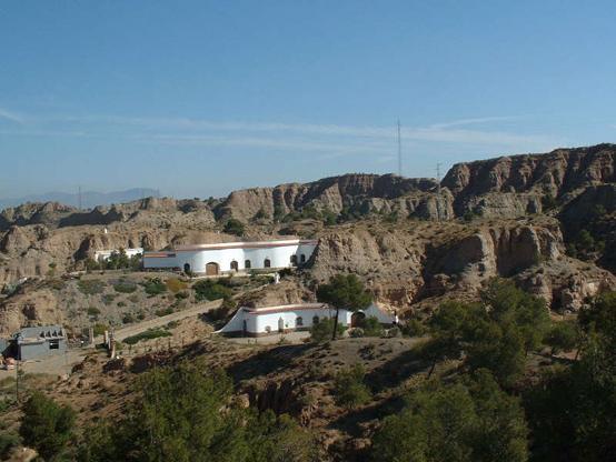
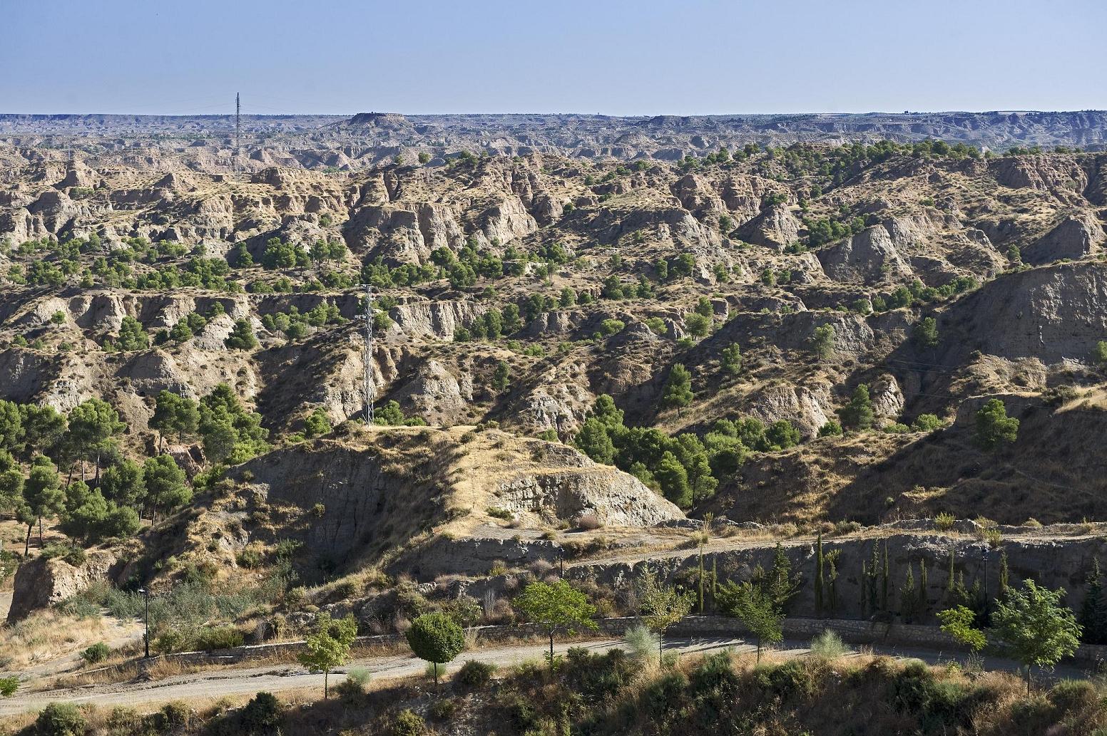
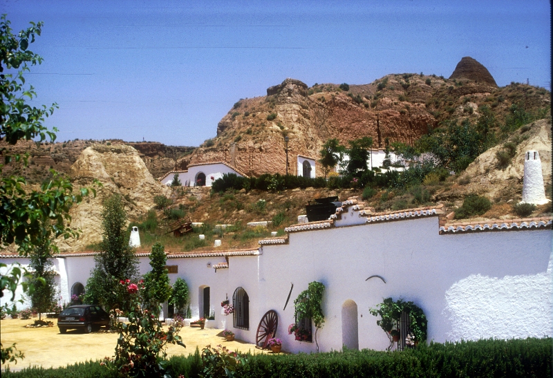
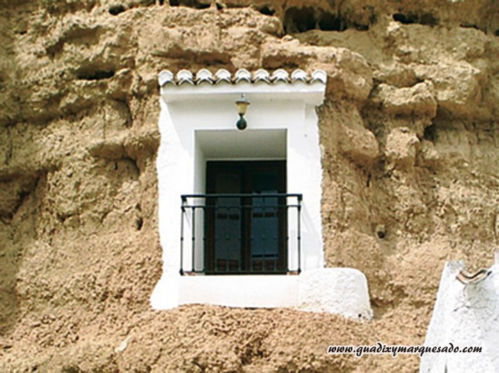
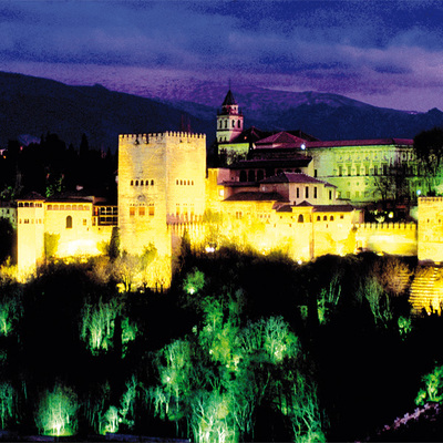
Benalúa is located very near the meeting of the rivers Guadix-Verde and Fardes, right in the centre of the Hoya de Guadix plain. A typical cave village, it shares a landscape of strong contrasts with other similar villages in the region: to the north, there is a vast area of badlands stretching for many kilometres; to the south, we find the fertile plain with small terraced plots of land that the irrigation channels run through, some of which are ancient, besides the architectural complex of industrial modernism formed by the old sugar factory.
Type of Trail: Circular. Trail Status: Approved and signposted 2002. Total Length: 3.7 km. Stages: 1 Accessibility: It can be done on foot. Download Brochure
Itineraries

Services and infrastructure
Target audiences
Segments
Season
You may be interested


EXPLORE ANDALUSIA
EXPERIENCES


