Benizalón
Small village of the Sierra de los Filabres, in a landscape dominated by semi-arid hills and gullies where the dominant crop is almond trees.
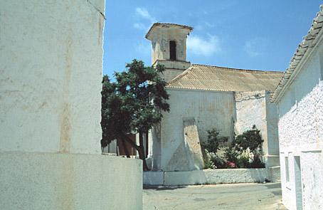
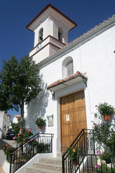
The village stands in the middle of this landscape with its white houses with red roofs and the Mudejar church.
History
There are other small centres of population inside the municipal area, such as Los Medinas, Rambla de los Parajes, Balsa del Monje, Los Cristos, La Huerta de la Virgen, Cerro de Camarilla, Fuente de la Higuera, Las Dos Puertas, La Parrica y Rambla de Marin. The last three are practically uninhabited.
These villages of the eastern Filabres came into being almost at the same time as the stabilization of the Moorish population after the Christian conquest. With the Moorish revolts and the subsequent expulsion in 1570, the municipality of Benizalon was left practically deserted.
Its current population is 300 people and they are aged. The emigration of the sixties had a marked effect on its inhabitants. The oil mill situated in the Olivar Seco appeared in the Libro de Apeo (Survey Book) of 1571. Its economy is currently reviving itself with the reafforestation of trees and autochthonous plants, production of goat's milk and meat and rural tourism.
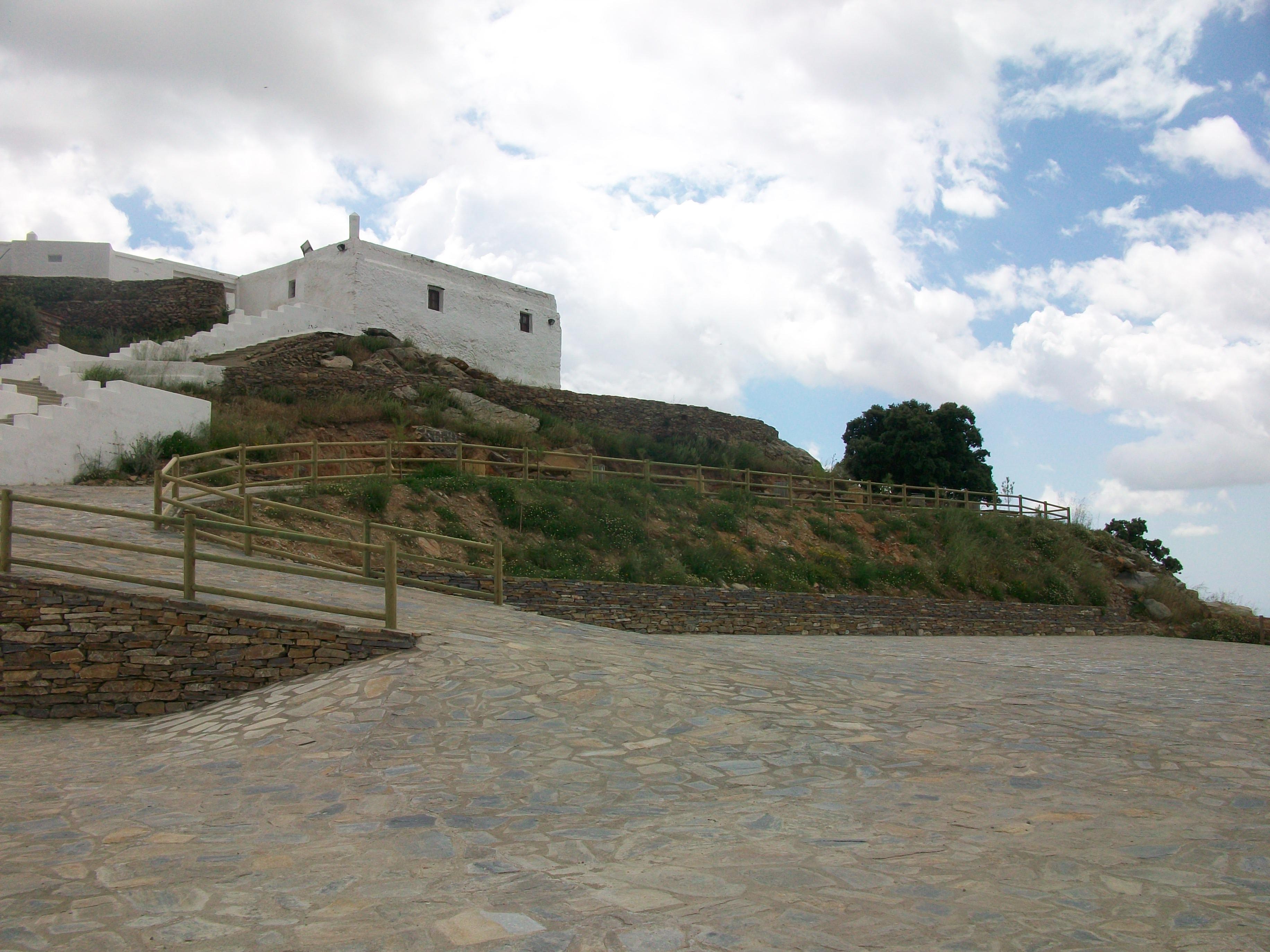
On Monteagud hill, in the place where there used to be an old Moslem rábita, there is the Hermitage of the Milagrosa Imagen de Nuestra Señora de Monteagud (Virgen de la Cabeza). It has become an important focus for pilgrimages.

- Max 14
- Min 12
- Max 57
- Min 53
- °C
- °F