
Estación de Vuelo Libre de El Zarzalón (Berja)

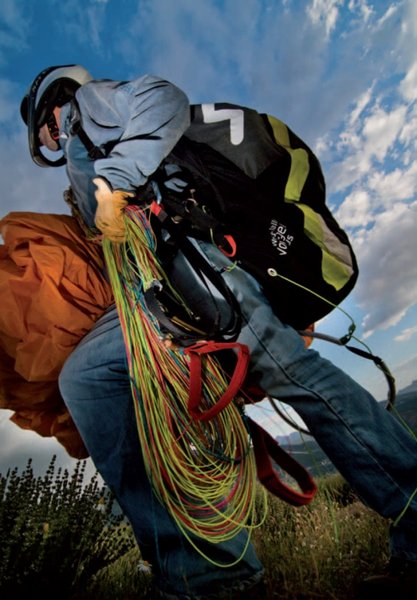
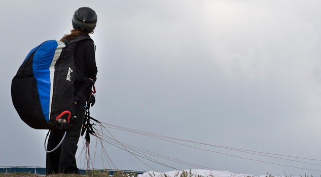
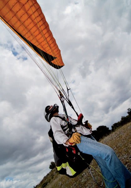
“El Zarzalón” flying site is located in the municipality of Berja, in the western foothills of the Sierra de Gádor range. This area has excellent geographical and climate conditions, which allows the different flight sports to be practised all year round: paragliding, hang gliding and powered paragliding; there are also exceptional views of the Sierra Nevada, the Eastern Alpujarra and the Mediterranean Sea itself.
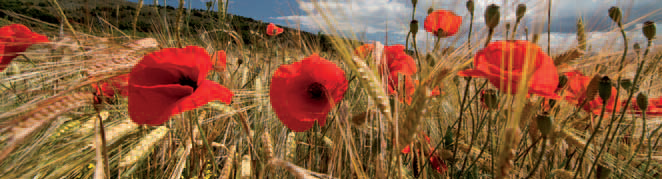
The Sierra de Gádor mountains, and particularly Berja, offer a unique range of plants and animals that, together with its rich historical heritage (mainly related to its mining history, although there is much more than just this), make this area a very attractive destination. As well as the various flight options, other outdoor sports, like trekking and climbing, are possible here. Between the launch and landing sites we find a space registered as a “Periurban Park”, this particular one is “Castala”, and as well as its ecological interest, it offers a number of leisure sites: children's play park, barbecue, swimming pool, bar-restaurant.
Climate
Its latitude means that the influence of tropical high pressure in summer alternates with depressions linked to the polar front in winter, although anticyclonic patterns predominate. The high ground that surrounds it acts as a topographical shelter, screening the area from the Atlantic sea air masses that are responsible for most precipitation in other Andalusian areas. What is present, then, is a very diverse mosaic of vegetation and landscape, as is to be expected in a municipality that rises quickly from sea level to an altitude of almost 2,000 m.
The presence of dynamic, thermal hillsides makes this flying site one of the most attractive in Andalusia. Perhaps winter is the best time for flying here, since the high mountains protect the site from cold north winds, and this is the time when the Mediterranean offers its most pleasant temperatures.
Launch sites Lower south launch site (Zarzalón) Coordinates: 36º 53’ 48,59’’ N / 02º 55’ 01,71’’ O. Orientation: West Southwest. Altitude: 1,156 metres. Drop: 592 metres. Dimensions: 500 square metres. Access: Take local road AL-5401 (Berja to Castala), and before reaching Castala turn right in the direction of the Parque Periurbano (Periurban Park). After crossing it, take the good forest road that starts here; after 8 Km. the entrance gate is on the right. Go through and there is a track of about 350 metres to get to the launch site; the last 50 metres must be travelled on foot. Facilities: There is a weather station offering information about temperature, atmospheric pressure and wind direction and strength. Precautions: * It is recommended that flying only be undertaken when the weather conditions are favourable. * It is recommended that you keep to the path at all times, since this is a hunting area, which can mean a danger to your person.Furthermore, there are numerous abandoned mineworks, so falling is a risk: please be careful! Landing sites Lower south landing site (Castala) Coordinates: 36º 52’ 27,33’’ N / 02º 55’ 56,01’’ O. Access: The landing site is located on the Berja to Castala road, at Km. 3. It is a privately owned site, but the owner allows visitors to use it. Altitude: 564 metres Facilities: This space has a windsock and has been cut and cleared to facilitate landing. Parking: It is possible to park at the landing site. Obstacles: None.
Services and infrastructure
Target audiences
Segments
Type of activity
Season


EXPLORE ANDALUSIA
EXPERIENCES


