
Sendero Señalizado Barranco de la Osa
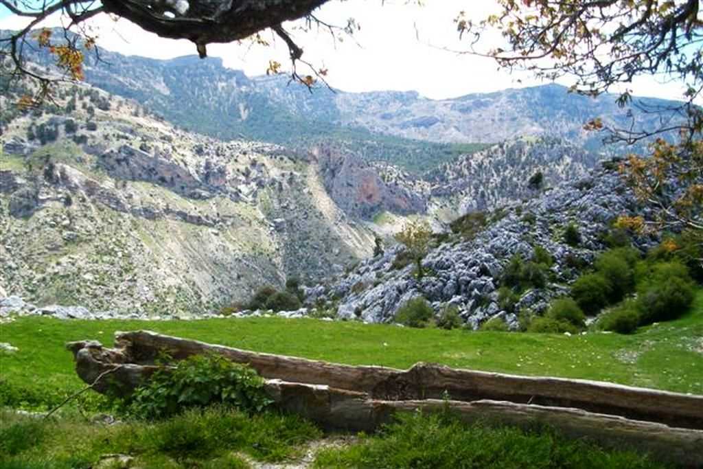
Beautiful route of medium difficulty around the source of Río Castril. From the farmhouse of the Hydroelectric Power Plant, we walk smoothly parallel to the power station's loading channel. On the left are the terraces of the orchards cultivated with beauty, of which some samples can still be seen. This was undoubtedly an orchard, in another time in which an artisanal subsistence agriculture was practiced. We walk through the valley of the river Castril, flanked by the high cliffs of the surrounding mountains.
The arrival at the Nacimiento del Río is an event that we will always remember. Depending on the rain regime, we will have between 1,000 and 12,000 liters per second, which fall in a cascade, after sprouting through the different cavities. Now we also know, thanks to the latest research, that submerged behind the spring, there is a chasm more than 100 meters deep and of course that it will connect with the large karst cavities of the mountains.
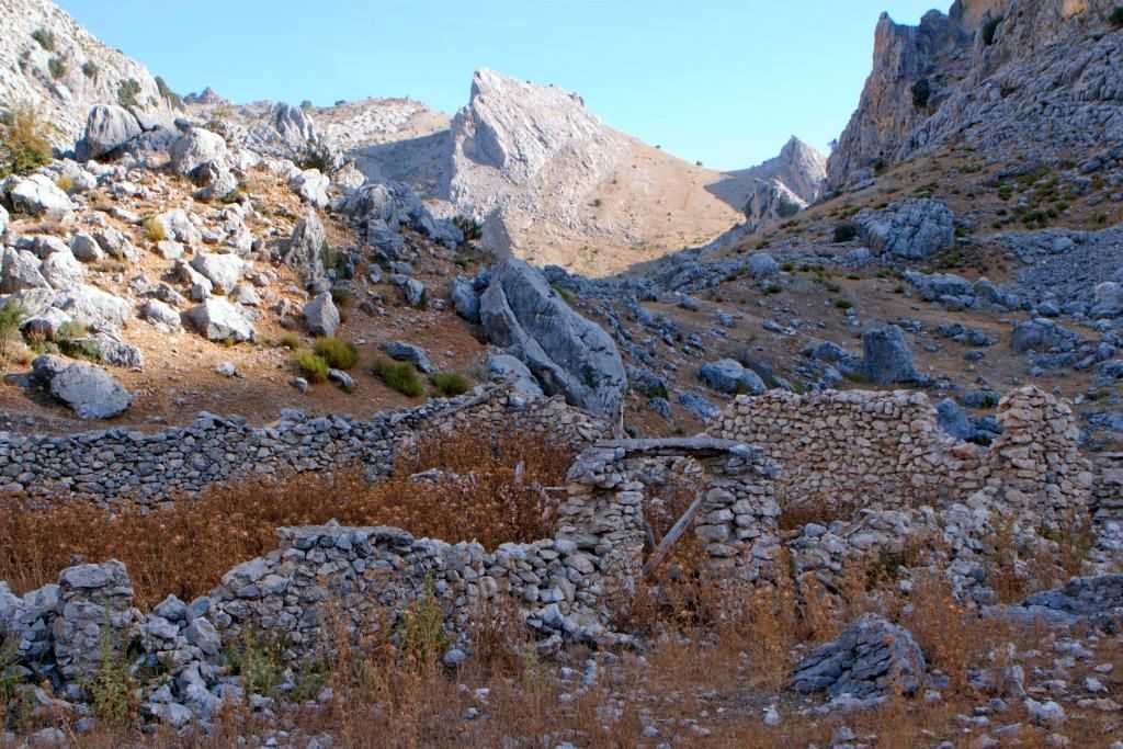
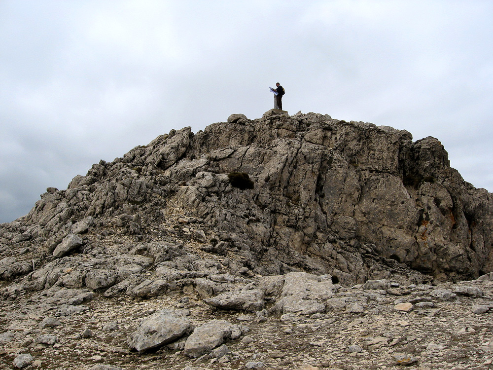
We then ascend gently up to the Osa ravine. Here is a complicated section protected by steel cables. The Osa cave has been used by primitive man, but also more recently by shepherds and loggers, making it a historic place.
Shortly after we found one of the most relevant landmarks of the route: the centenary yew, which has undoubtedly been saved from human predation, due to the difficulty of access to the place.
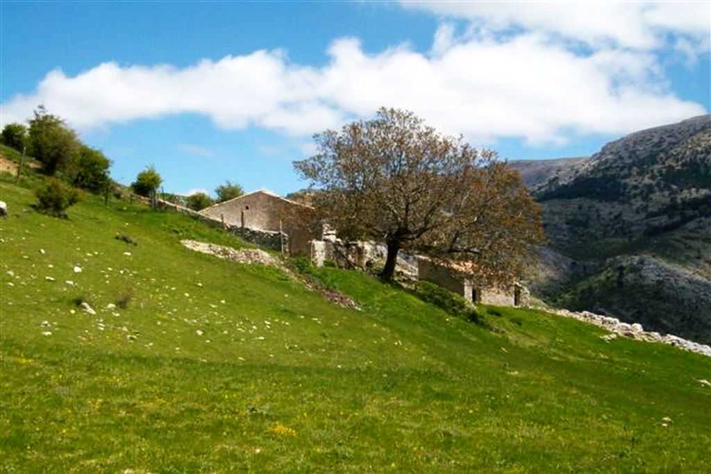
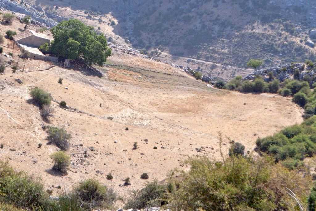
We now head across gentle hills to the farmhouse of La Puerca, located on a stand of farmland, now converted into a meadow. We must be attentive to the exit, located to the south and marked by beacons. We will zigzag down a beautiful path, built by hand among the debris of the hillside, to access the Cortijo de la Puerca. The descent brings us closer to the beginning, after crossing the Castril river by means of a footbridge.
If the weather has been favorable, we have undoubtedly enjoyed a tremendous field day. As basic precautions, there are those to avoid fog, snow, ice and above all to have a good sense of orientation. If we do it with children we must monitor them permanently, since we circulate through wild areas with various dangers.
en
Read more
Itineraries

Sendero Señalizado Barranco de la Osa
Services and infrastructure
Target audiences
I travel alone, Couples, Professional, Seniors, For families, Friends, Lgbti, young people
Segments
Nature, Sports, Leisure and fun, Geotourism, Astrotourism
Type of activity
Multi-adventure activities, Orienteering, Canyoning, Mountaineering
Specialties
Routes of andalusian landscapes (Nature Routes), - (Nature Routes)
Quality brands
Andalusia Nature Reserve
Season
Spring, Autumn, Winter, Summer
You may be interested
Hornos, Cazorla, Segura de la Sierra, Iruela, La, ...
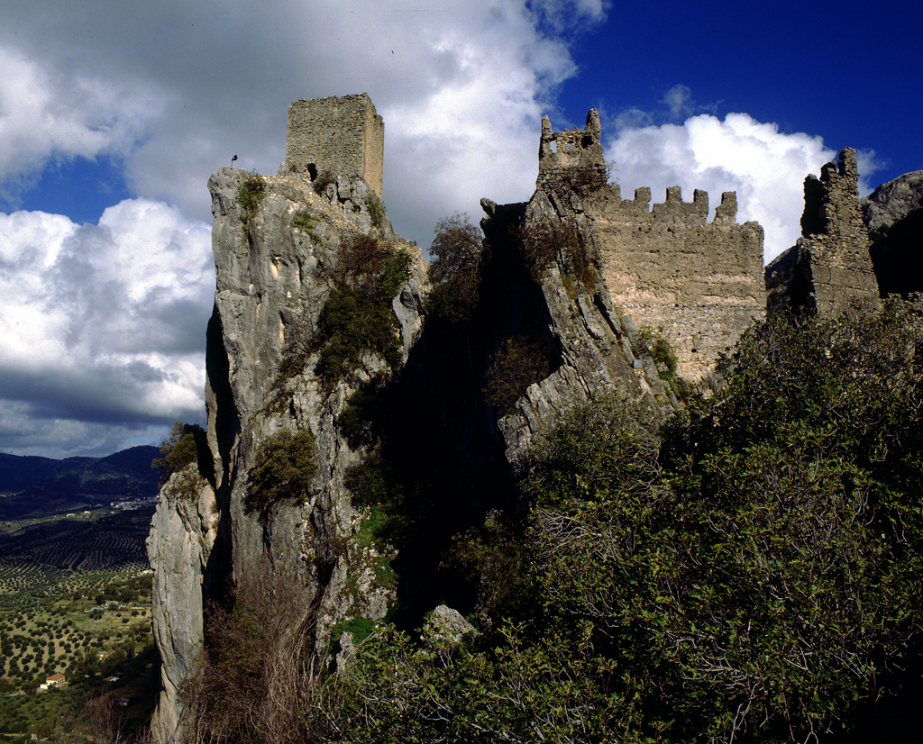
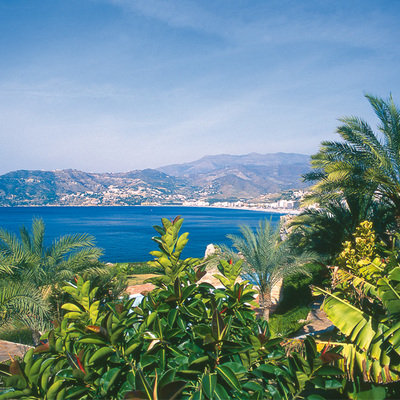
Castril


EXPLORE ANDALUSIA
EXPERIENCES


