
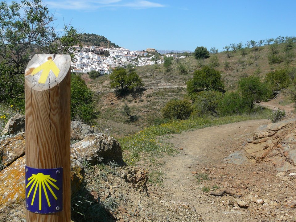
Arroyo Pedroche - Santo Domingo - PR-A 332 Circular Trail
TheArroyo Pedroche - Santo Domingo - PR-A 332 Circular Trail runs along the banks of some of the most beautiful and characteristic streams of the mountains, such as the Arroyo del Palomera, the Pedroche, the Barrionuevo and the Santo Domingo, so the best season to take this route is in spring after some days of rain and you can then walk along listening to the relaxing sound of water.
This route offers the chance of starting at two different starting points in Cordoba.
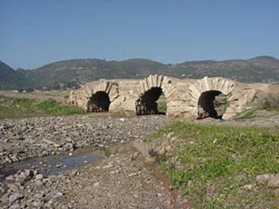
The first one is located in the Municipal Sports Facilities in the Naranjo neighbourhood, from where we will head towards Maimon castle, go around it on its left side and gently descend 800 metres to Palomera stream, which we will cross near the Hierro bridge, now dismantled for the railway line.
The other option is to start the walk in the Pedroche industrial estate, just opposite the petrol station. Here we will take a bridge across the Pedroche stream and after walking 550 metres on the old road of Badajoz, we head down a path that goes halfway down to the banks of the stream. Walking along this section of Pedroche stream we can see how it has deteriorated a lot due to numerous infrastructures built in its vicinity. About 80 metres from the Hierro bridge, we cross the stream, where both paths meet.
Forty metres on, we will begin to walk along a path that climbs gently, parallel to Pedroche stream. Here the route has spectacular scenery, as we go into a shady area with abundant, lush vegetation, where the path becomes "wrapped" by the dense vegetation, giving us the sensation of being in a place more characteristic of higher latitudes.
Walking next to the Arroyo we will see how the course of this is covered by plants as the blackberry, the sarsaparilla, aristoloquia or candilejos, the rosebay, the lentiscus, fennel and kermes oaks, and by tree formations of elms, white willows, almezos and poplars. Among this vegetation, we can see birds such as blue tits, coal tits, blackbirds and Sardinian warblers. Walking through this beautiful place, we reach the Trinidad country house and 200 metres further on, the Fuente de la Cueva, so-called due to its location at the foot of a small hollow.
Just one kilometre away upstream, the thick vegetation is replaced by large wild olive trees with asparagus ferns at their feet, and in the stream there are abundant bushweed, hawthorn and rushes. In the lands of the Orive Bajo, we leave Pedroche stream close to Valero country house beside large eucalyptus trees, and we continue our walk alongside the Barrionuevo river which appears on our left. We will now stroll 800 metres along the bank of this river, taking a limestone plateau called Mesa or Meseta Blanca, situated on the west of the path, as our reference point.
We continue at the foot of the plateau, through a rockier area where the stream known as Arroyo Barrionuevo converges with another called Arroyo de la Ventilla, forming a small waterfall and a crystal-clear haven of water where crowfoot grows, an aquatic plant with white flowers. Here we will cross the river and leave its course for 500 metres, and walk through an open area with no trees, with slightly elevated terrain where there is a country house in ruins. Hopefully here we can see the flight of the Bonelli's eagle, wild boar and some nightjars camouflaged on the ground.
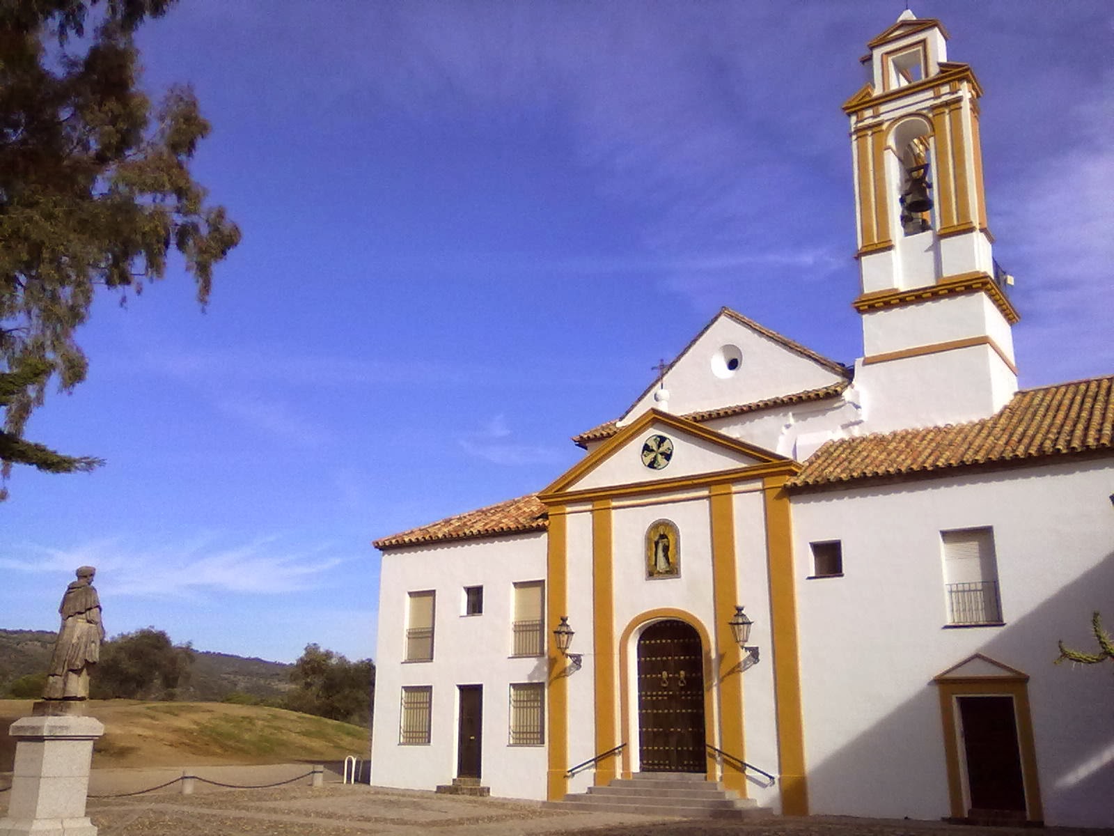
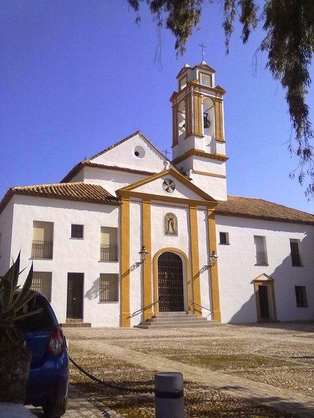
100 metres beyond this country house, we will start walking parallel to the Barrionuevo river again until we come across a very steep hill, 800 metres on, which ends in a pass just opposite the shrine of Santo Domingo de Scala Colei. On our left, we can see the small shrine of San Álvarobuilt in the foothills of a hill.
Once we have recovered from the climb, we will start to descend to a junction, where we can either continue the path alongside a stream called Arroyo de Santo Domingo, or we can visit the shrine first. The first section of this descent crosses some old quarries and then follows a wide path that goes to Los Velascos country house. One kilometre further on, we leave the road and continue along a path which follows the right bank of a stream among white rockrose. After crossing the Santo Domingo stream by a cement bridge, this path will take us to the point where we find the two options that we had at the start, in both cases the way back is identical to the path we first took.
Type of Trail: Circular. Trail Status: Approved and signposted 2010. Total length: 11.4 km. Sections: 1 Accessibility: Suitable for walking, horse riding and mountain biking, except for a short section of some 300 metres, of HIGH difficulty, between the vicinity of San Álvaro chapel and Arroyo de Barrionuevo stream, where the trail is very stony and steep Download Brochure
Itineraries


Services and infrastructure
Target audiences
Segments
Season
You may be interested


EXPLORE ANDALUSIA
EXPERIENCES


