
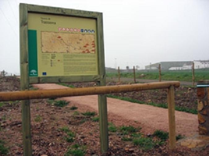
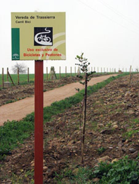
Vereda de Trassierra Trail – PR-A 343
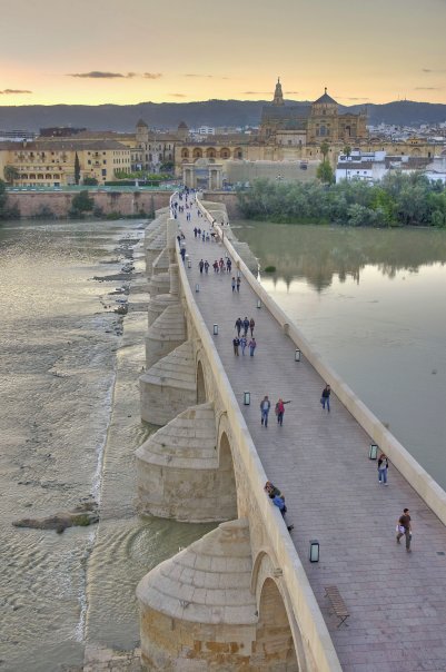
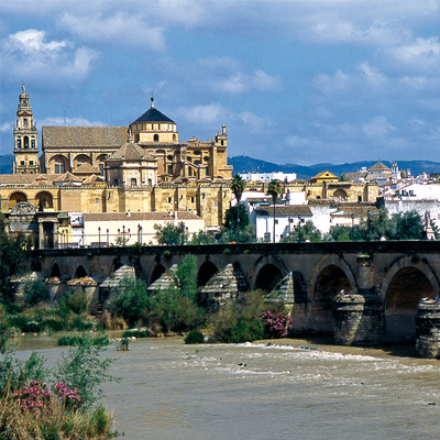
The Vereda de Trassierra, an ancient track, leaves the city of Cordoba, goes as far as Trassierra and continues its route through the municipality of Villaviciosa. Overcoming the challenge of crossing the distance and gradient between Cordoba and Santa María de Trassierra, and crossing through places with a high ecological, historical and cultural value are some reasons for taking this route.
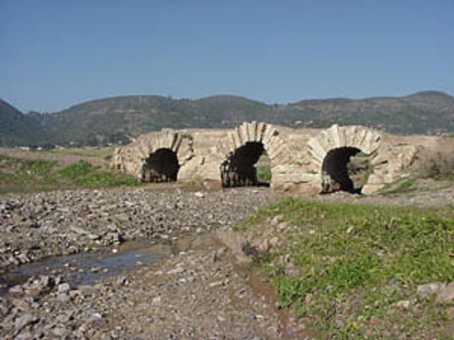
We will walk 700 metres along a path that appears to the left of the road, which will take us to the point where the adaptation and signposting for the Vereda de Trassierra begin. Walking easily on flat ground, we reach Los Nogales River, where —if we descend 300 metres parallel to it— we can see the Los Nogales Bridge, built in the 10th century over the road to Los Nogales, to improve communications between Cordoba and the Medina Azahara, and it was the route for supplying the Caliphate city with provisions and building materials.
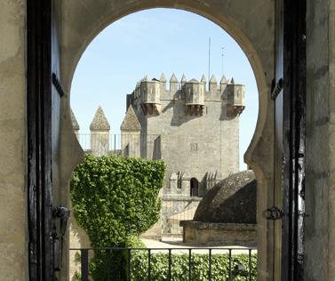
Continuing along this route, we will see Albaida Castle on our right and the Torre de las Siete Esquinas up in the mountains: a watchtower in the Caliphate period, which formed part of a chain of towers (including the Torre del Beato) which communicated with each other using smoke signals during the day and lights at night. These towers served to keep watch over the city, the tracks and the water pipes going into Cordoba.
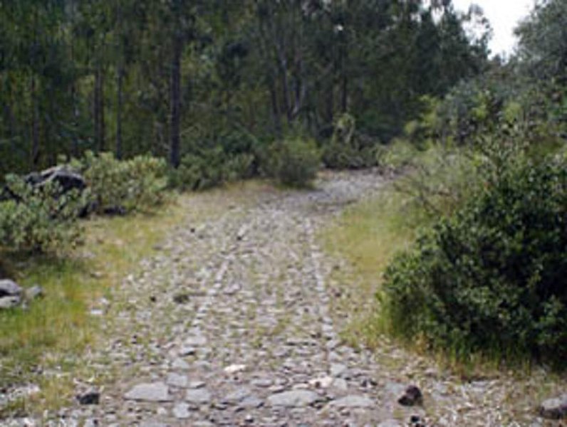
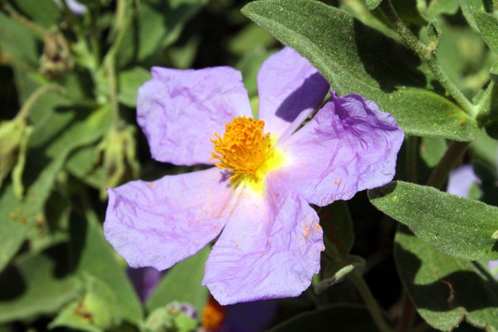
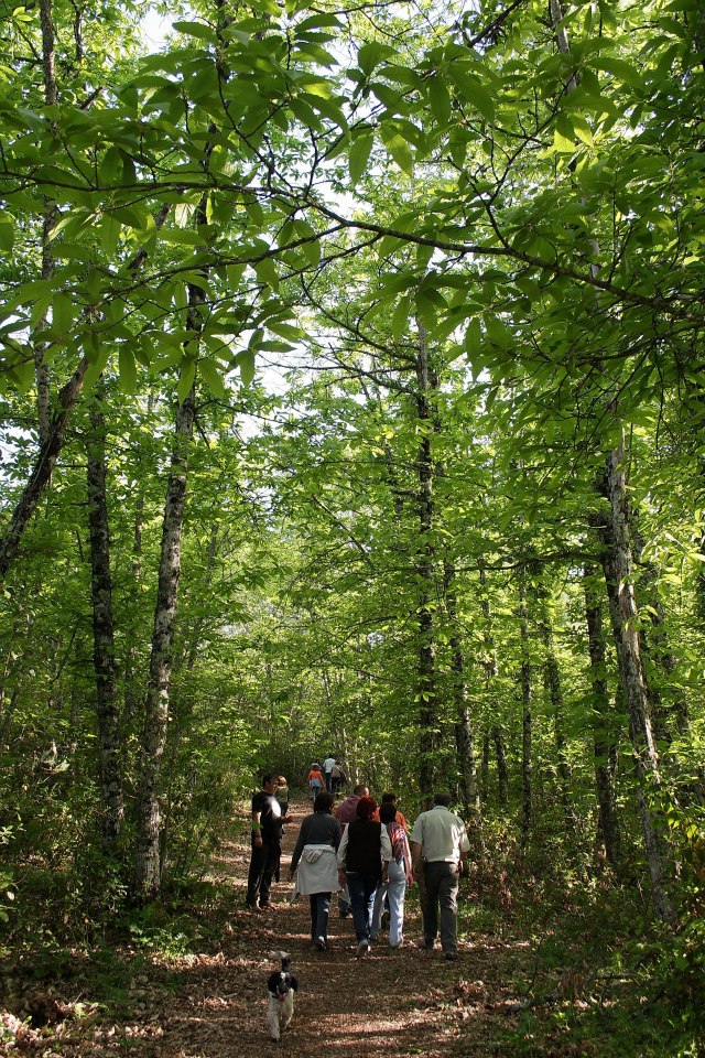
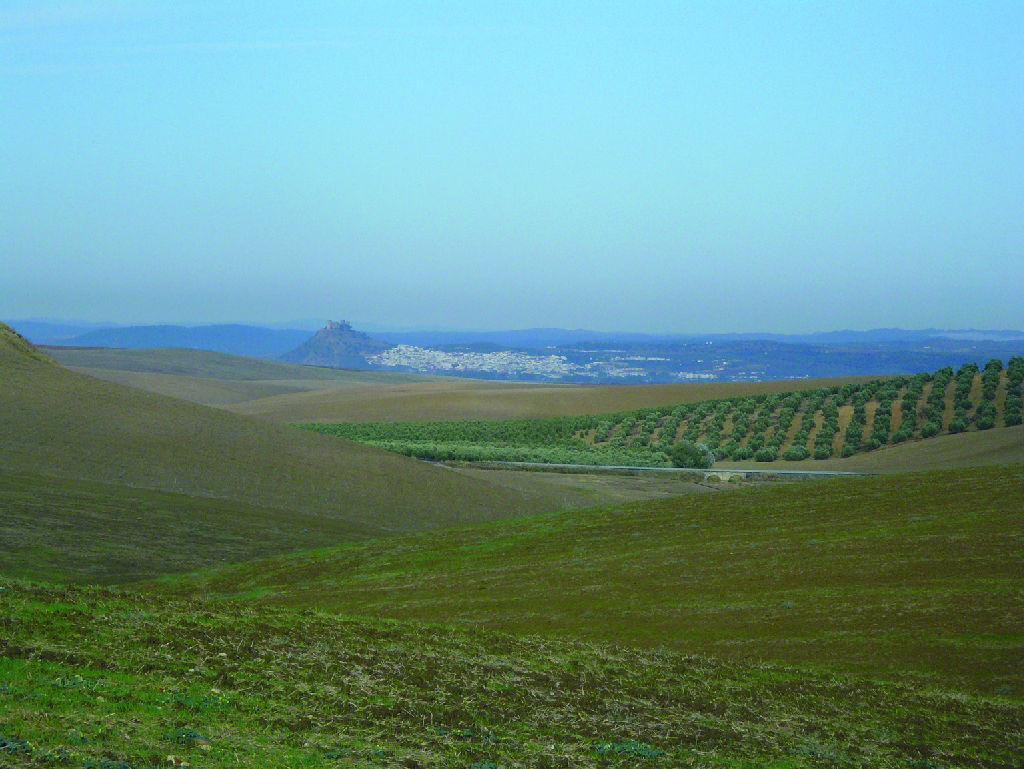
We will reach the transition area between the Guadalquivir Valley and Sierra Morena, where the route runs between the Huerta de la Gitana and the Cortijo de la Torrecilla. In the eucalyptus plantation we find after passing these small villages, a Roman road appears at our feet, later used by the Arabs and, after the Christian conquest, it then became a cattle path renamed Vereda de Trassierra. However, the way will become narrower and narrower until it is a small path practically covered by vegetation. On this quite demanding section, the sound of water from the Vallehermoso River will accompany our ascent. We will see the ruins of the wall that separated the river from the trail. We can take advantage of the climb to see typically Mediterranean species such as rockroses, carob trees, myrtle, broom, wild olive trees, mastics, blackberry bushes, oleanders and fig trees.
The path now runs between the Trassierra road (CO-3302) and the San Jerónimo road (CO-3314), where the vegetation clears again, allowing us to see the Cortijo de San José on our right, and the Cerro de San Jerónimo to the left. We will pass by Fuente de los Perros and an old reconstructed drinking trough —signs of how it used to be used for livestock— and, if we look back, we will see a beautiful image of the city and the countryside framed by the valley formed by the Vallehermoso River. A few steps further up, we will reach a petrol station at the junction of the roads to Trassierra, San Jerónimo and Las Ermitas.
From here, the trail coincides with the public municipal path Camino de Turruñuelos and takes us onto a narrow, shady path between strawberry trees, Portuguese oaks and heather. At the top is the highest point of the route (500 metres), from where the descent will be the main focus. After descending the first 400 metres, we will cross a little wooden bridge built over a small stream, and an extensive landscape will immediately appear before us.
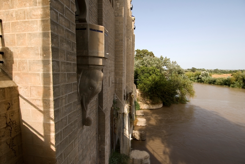
We continue down to the entrance to the Pinar de Torrehoria residential area, which is as far as the Vereda de Trassierra and its signposts go. 1.3 km along the road is Santa María de Trassierra, but we will go north-west along a wide, comfortable track towards the Cortijo del Caño de Escarabita. About 600 metres away from this place is the point of greatest historical interest on the route, the Fuente del Elefante.
Walking between large oak and cork trees, we reach a tarmac road, which we leave to keep away from the traffic —before we come to the "virgencita"— and walk through the streets in search of the church or to the central square in the Santa María de Trassierra neighbourhood.
Type of Trail: Linear. Trail Status: Approved and signposted 2010. Total Length: 11.5 km (one way) Stages: 1 Accessibility: Suitable for walking and horse riding, and 70% of the route for mountain biking Download Brochure
Itineraries

Services and infrastructure
Target audiences
Segments
Season
You may be interested


EXPLORE ANDALUSIA
EXPERIENCES


