
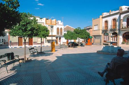
Rubio, El
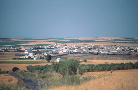
Village belonging to the Campiña district, located to the east amongst fields of cereals, herbaceous crops and olive trees. The most interesting monument is the Church of Nuestra Señora del Rosario.
History
Its origins may go back to a Roman farmstead called Fundus Rubeus. Under the Visigoths the name of the village was changed to El Rubio.During the Roman period it was located on the Roman road between Estepa and Ecija. A large number of Roman villas and tombs from that period have been discovered.
Later the locality belonged to the dukes of Osuna. It finally became an independent municipality in the 19th century.
Rubio, El
Municipio


Rubio, El
Tourist area
Distance to the capital (km)
102
Altitude above sea level (m)
209
Extension (Km 2 )
21
No. of Inhabitants
3710
Demonym
Rubeños
Postal Code
41568
en
Read more


