Herrera

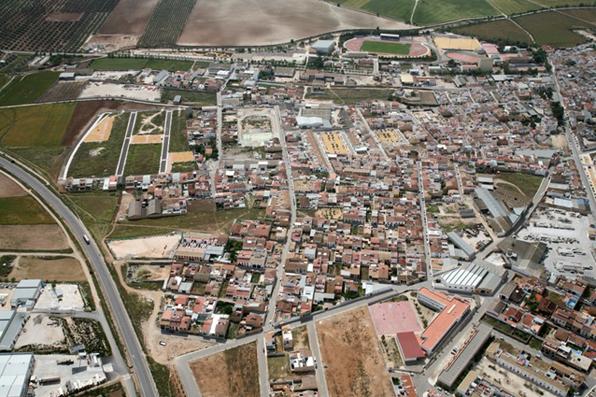
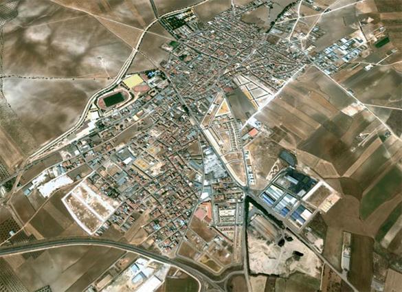
Small locality belonging to the Campiña region and located in the eastern part of the province, at the border with the province of Córdoba. Its landscape comprises gently rolling fields of cereals, herbaceous plants and vast olive groves.
Its most important monuments are the Church of Santiago el Mayor and the Church of the Concepción.
History
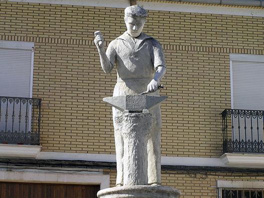
The origin of the village's name is not fully known, although it seems that is might come from the name of a place called "Las Herrerías" due to the presence of iron mines.
The archaeological remains discovered in the area indicate that the first human settlements date back to the end of the Bronze Age and to the Iberians.
It seems that during the roman domination there existed within the limits of the township a hamlet called Pagus Sigilensis.
There are no references to the period of Al-Andalus. Following the Christian conquest it passed to the military Order of Santiago and later to the estate of the marqués of Estepa.