
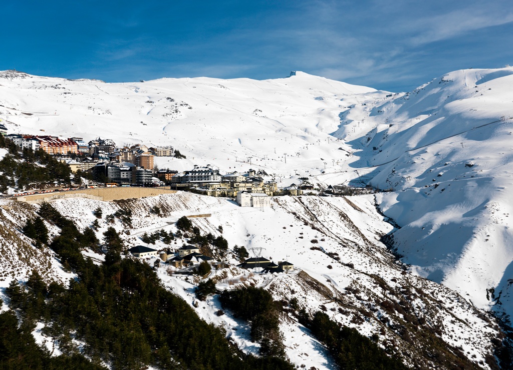
Lecrín
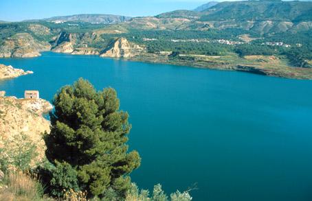
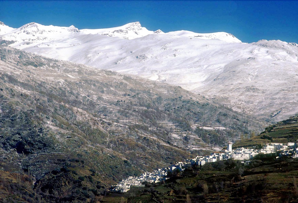
South of Granada, on the road that links Motril and the coast with the city of the Alhambra, at 860 m above sea level, lies the pass called Suspiro del Moro. From here and towards the coast, opens up the Valle de Lecrín, an AREA that borders the west face of Sierra Nevada and has as a natural threshold to the south, the Sierra de Los Guájares. It enjoys a microclimate of its own, with mild and beneficial winds, which bring scenery of serene beauty enhanced by Mediterranean cultivation.
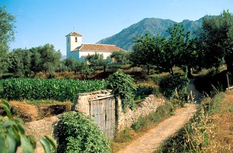
The municipality of Lecrín lies in this valley and together with other villages as in Arab times forms a part of the Natural Park of Sierra Nevada.
History
This municipality was formed in 1967 with the voluntary fusion of Acequias, Chite, Talará, Murchas and Mondújar (once called Aceca, Monduxar, Achite, Harat-Alarab and Muchas) and in 1973 of Béznar (former head of the Taha de Béznar).The whole central part of this valley was left almost uninhabited after the Moors were expelled. Throughout the centuries the number of inhabitants incremented slowly, but at the beginning of the 19th century it suffered another serious decrease.
Lecrín
Municipio

The weather today in Lecrín
- Max 15
- Min 13
- Max 59
- Min 55
- °C
- °F

Lecrín
Tourist area
Distance to the capital (km)
35
Altitude above sea level (m)
709
Extension (Km 2 )
40
No. of Inhabitants
2375
Demonym
Lecrinenses
Postal Code
18656
en
Read more


