
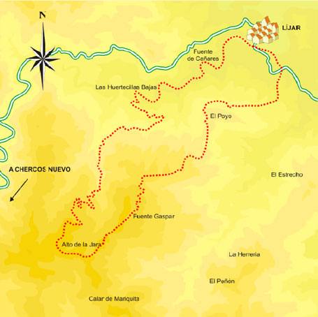
El Poyo Trail – PRA-257

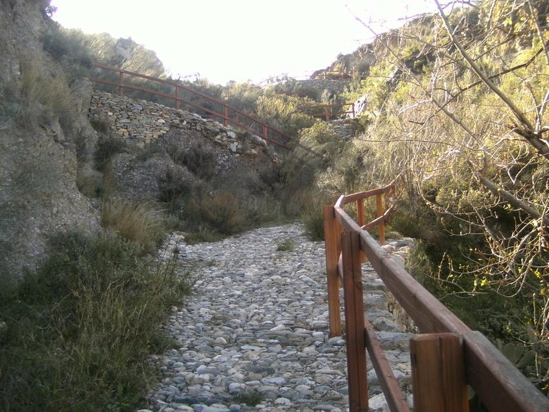
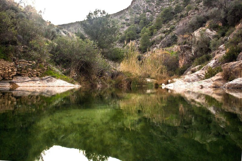
The Poyo Trail – PR-A 257 starts at theTahalí riverbridge at the exit of Líjar.town. The path follows the course of the river in the direction of Fuente de los Cañares, crosses an area of outstanding beauty, with abundant vegetation and some farmhouses with their vegetable gardens and livestock, called Huertecillas Bajos.
It leads to a small gorge where there is a crossroads; to the right, after a steep slope, it takes you to the road back to the town; to the left, it follows the circular route, passing firstly through a work area near a place called the Castillico.
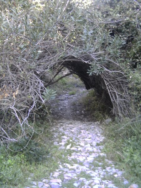
It passes close to the Moro cave, which was the Fuente de Gaspar (house in ruins) and through several places of interest due to the surroundings and landscape. The path leads down a continuous slope to a natural viewpoint at an altitude of 985 m, where the descent towards the town begins.
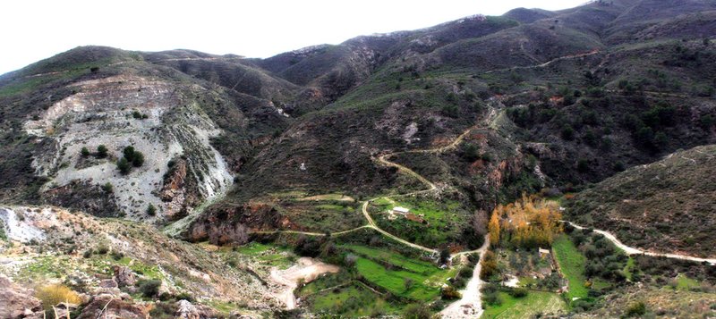
After the initial descent, it reaches a crossroads on a hill, one way leading to the town of Cóbdar, and the other to a marble quarry, continuing along the main path. From here, the view of both slopes is impressive.
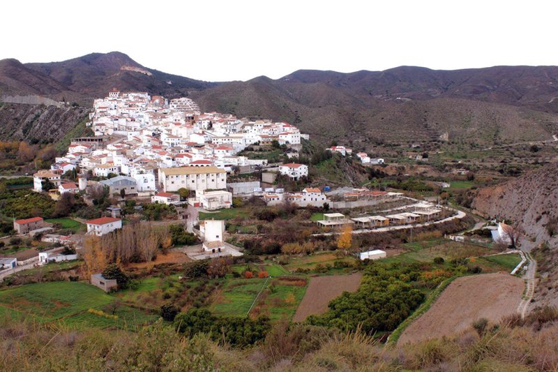
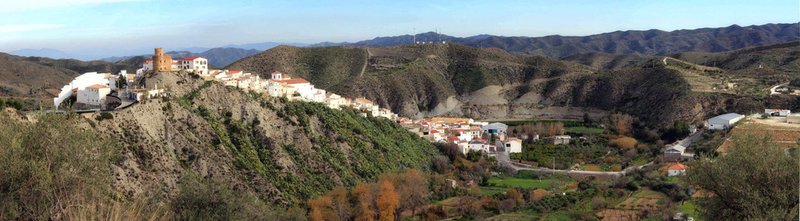
On the way down, you can see Líjar town at several instances.
Near the end of the route, it crosses the road and reaches a paved path that leads back to the course of the Tahalí river. From here, you can go back to the bridge or straight into the town.
Type of Trail: Circular. Trail Status: Approved and Signposted 2002. Total Length: 11.7 km. Sections: 1 Accessibility: It can be done on foot. Download Topographic Guide
Itineraries
Services and infrastructure
Target audiences
Segments
Season


EXPLORE ANDALUSIA
EXPERIENCES


