
Estación de Vuelo Libre de Loja
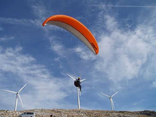
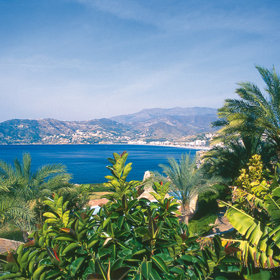
The Poniente Granadino (Western Granada) district, whose largest town is the city of Loja, also known sometimes of the "City of Water", is located on the banks of the River Genil, which divides the town. Is, because of its topography, a kind of natural amusement park. Here, the air and the wind is a striking feature, above all in the Sierra Gorda and Sierra de Loja hills.
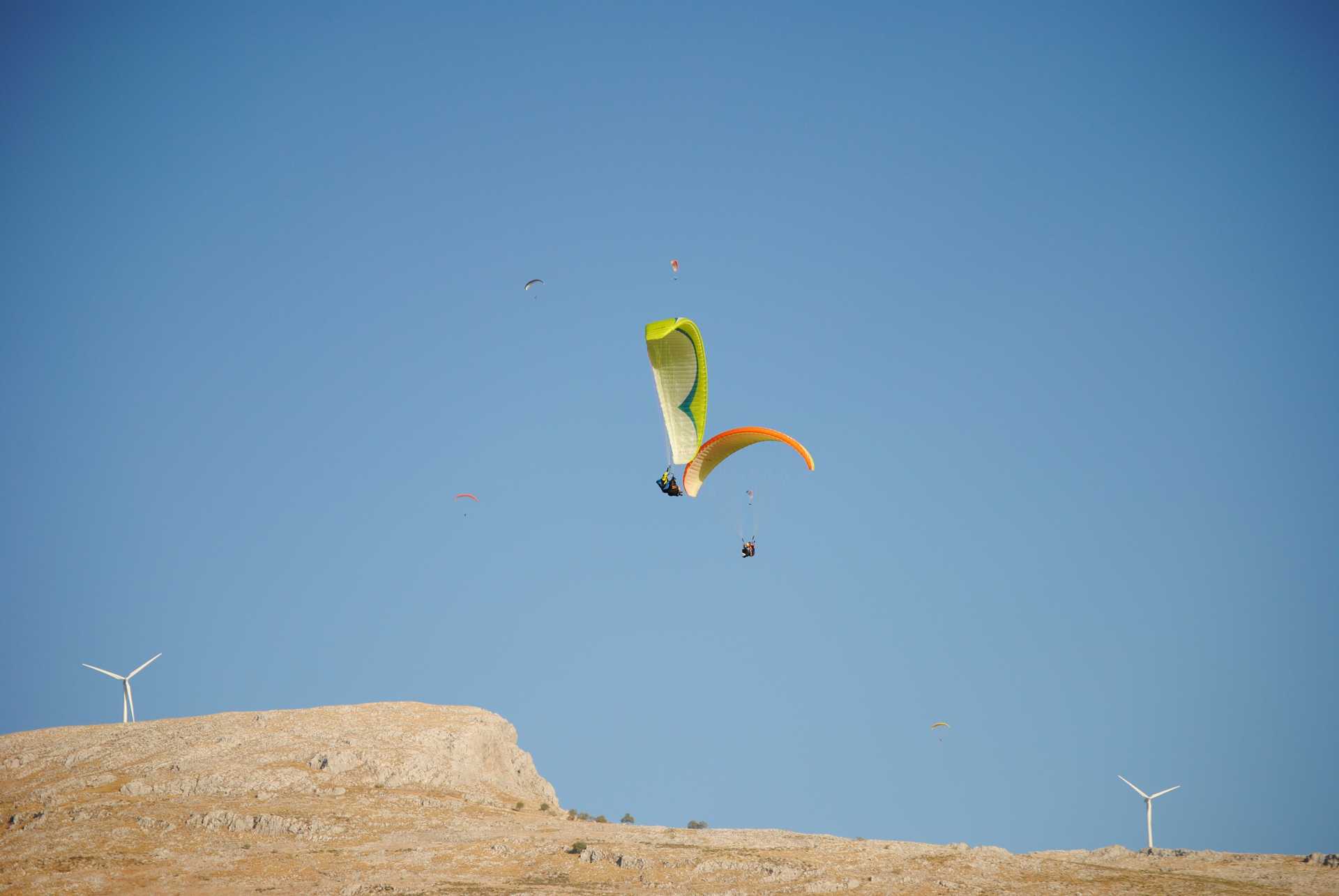
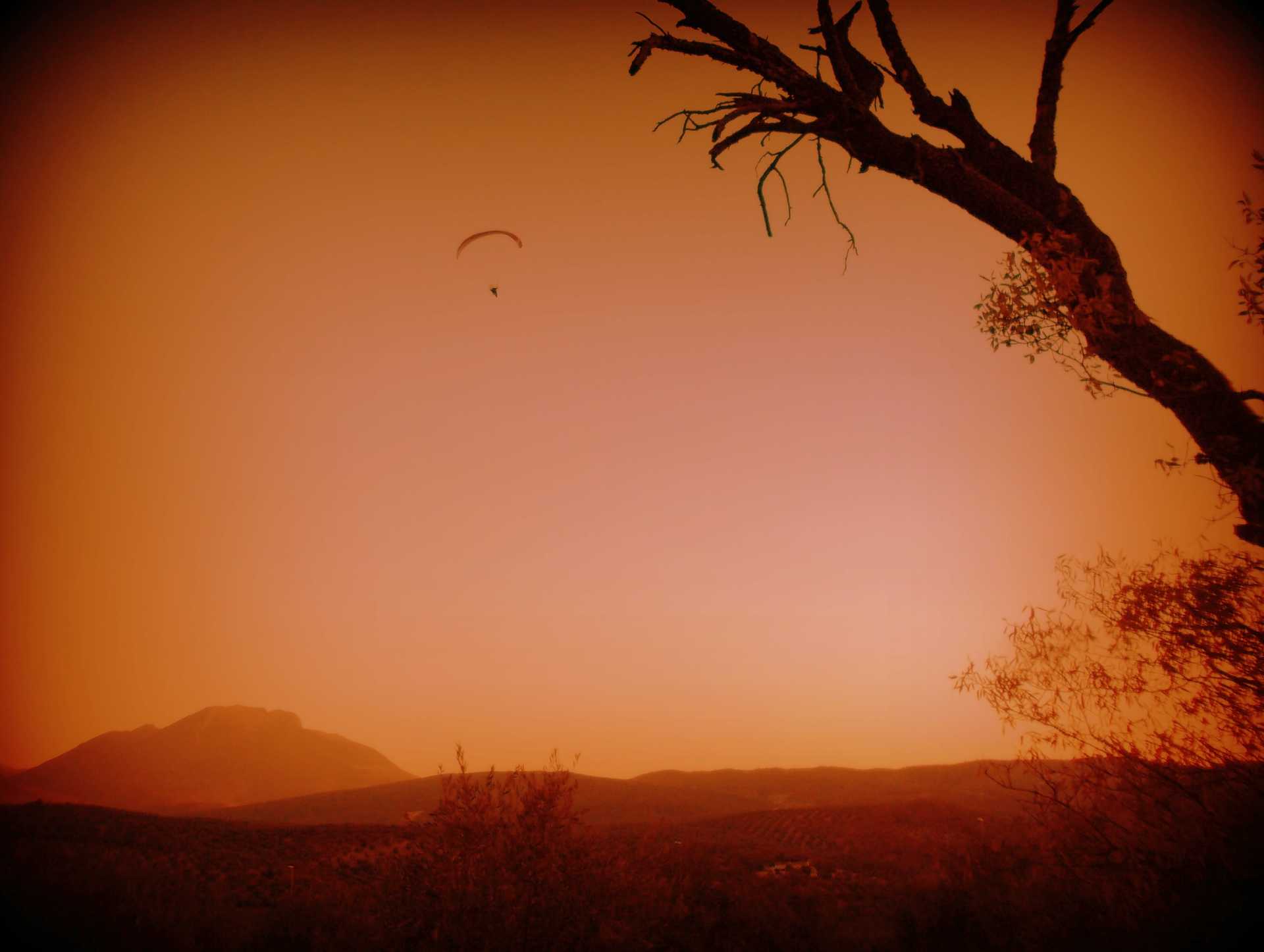
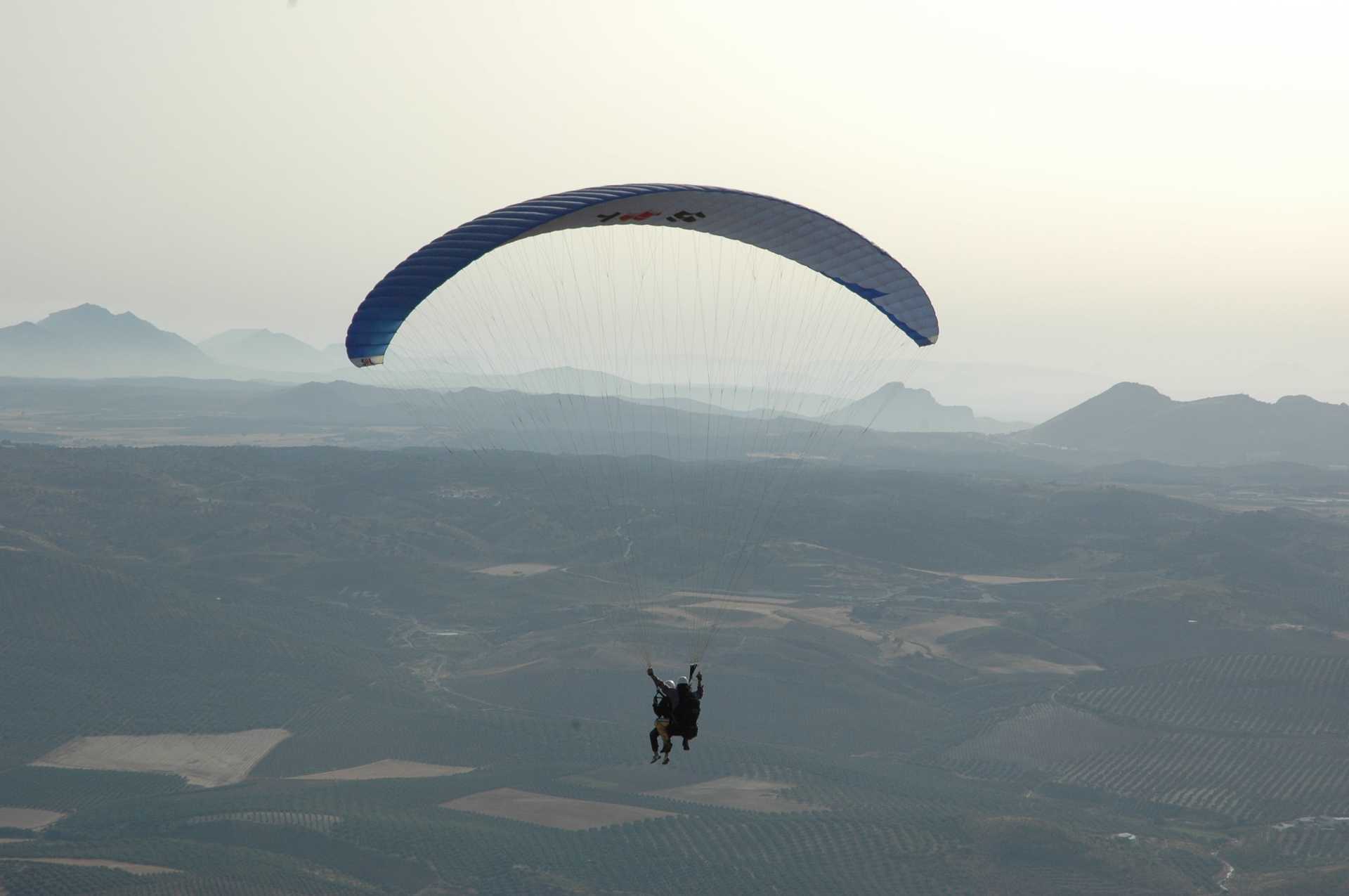
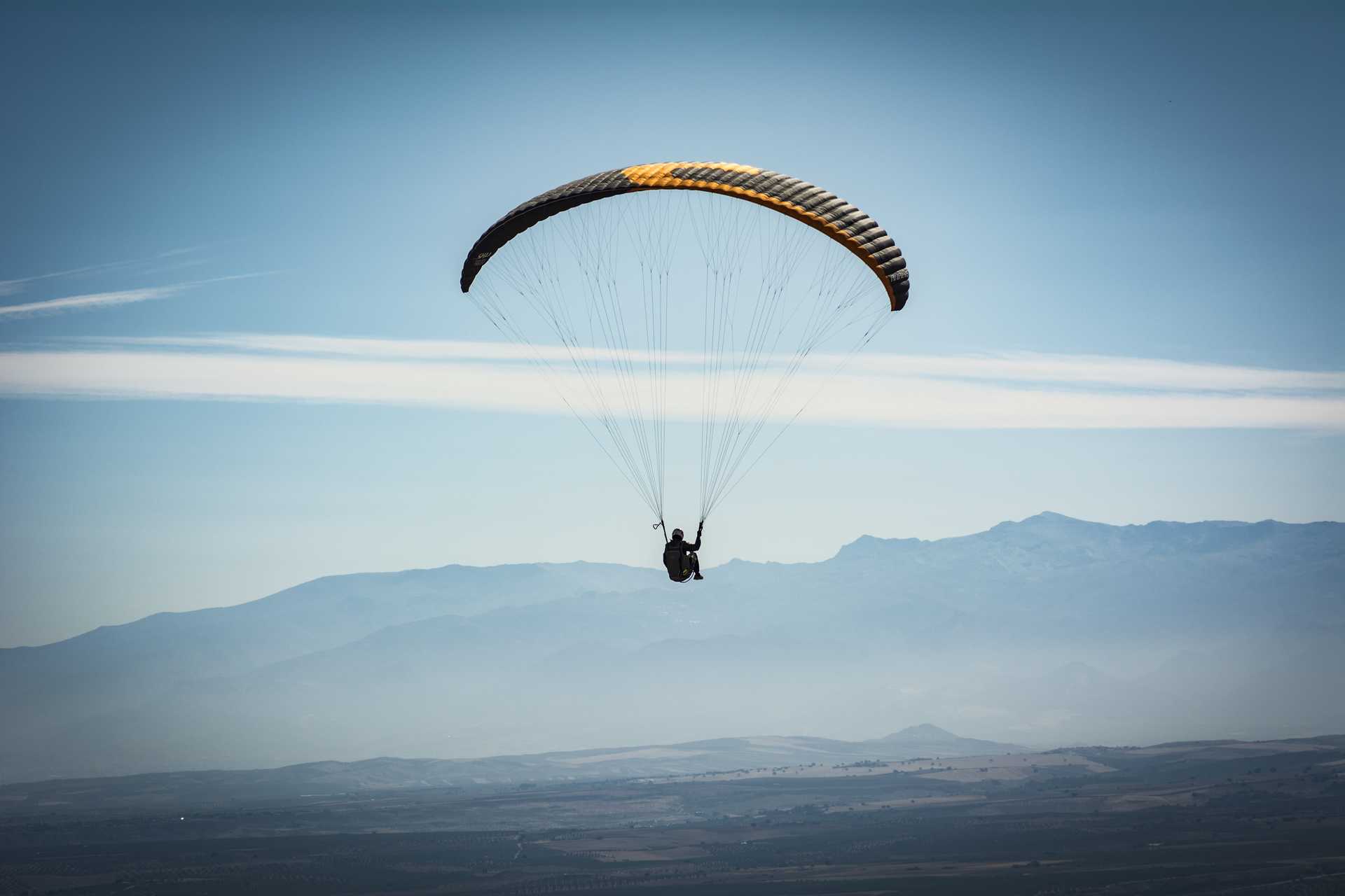
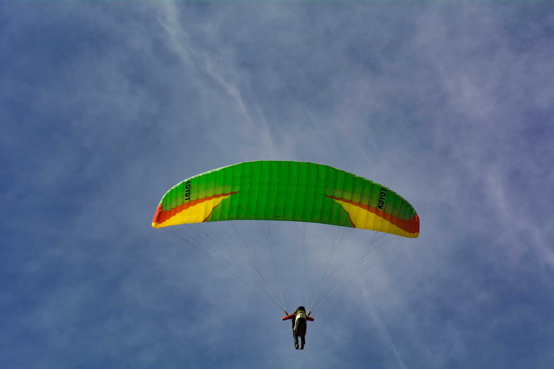
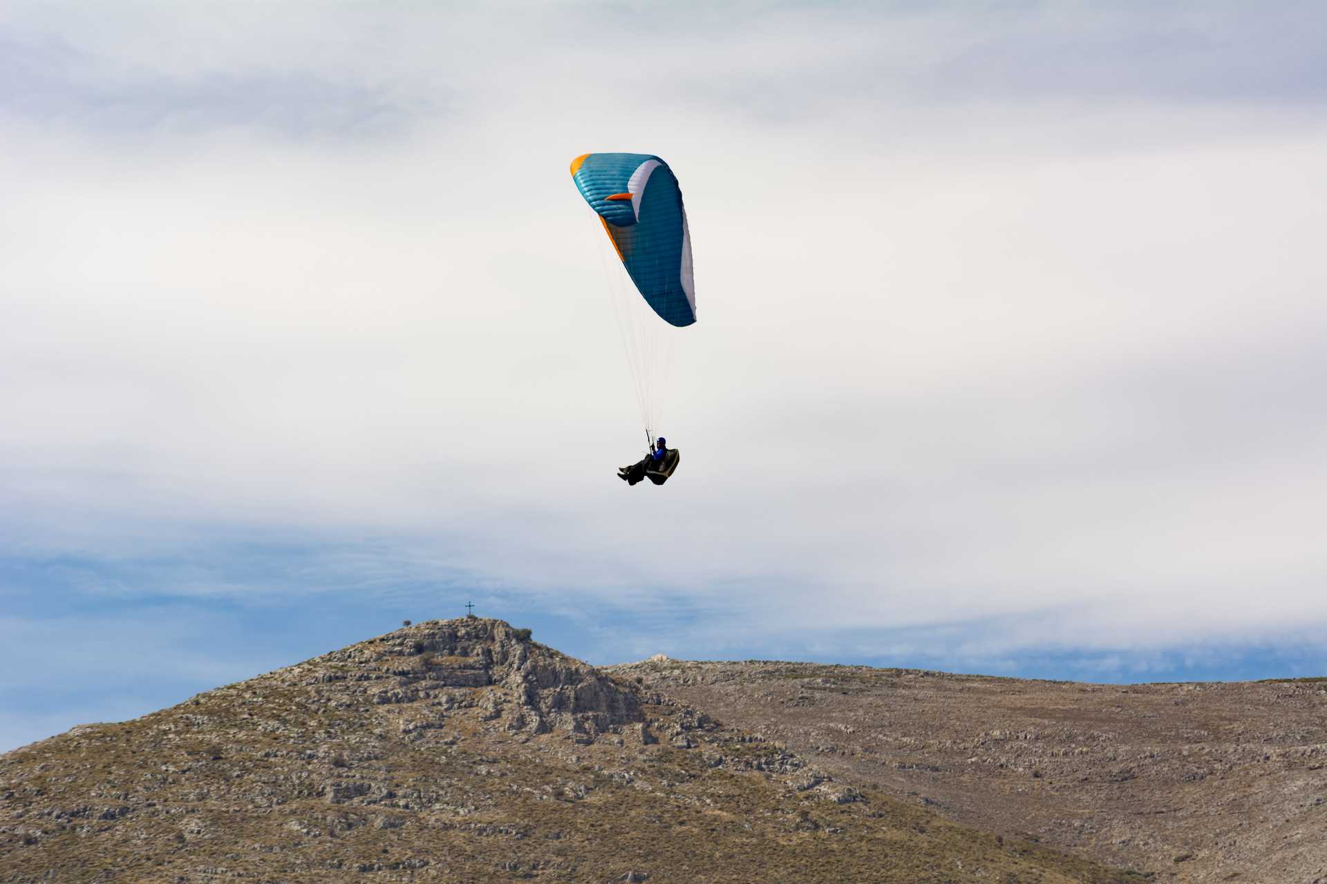
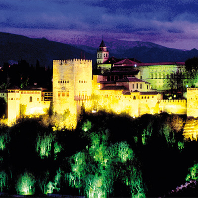
The city's architectural riches are complemented by the quality of the landscape surrounding it. With broken terrain that ranges from the 487 metre altitude of the city, to the 1.614 metre high Pico de las Cabras, in the Sierra de Loja ridge, there is diverse landscape here that is frequently dotted with the colours of hang gliders and paragliders moving gently on the horizon.
Climate
The area has a continental Mediterranean climate, with a large difference between the temperatures in summer, which can reach 42º C, and those in winter, which can drop to -7º C. Wet periods alternate with dry or very dry periods. The annual average temperature lies at 16.9º C. The most frequent winds are from the west and east.
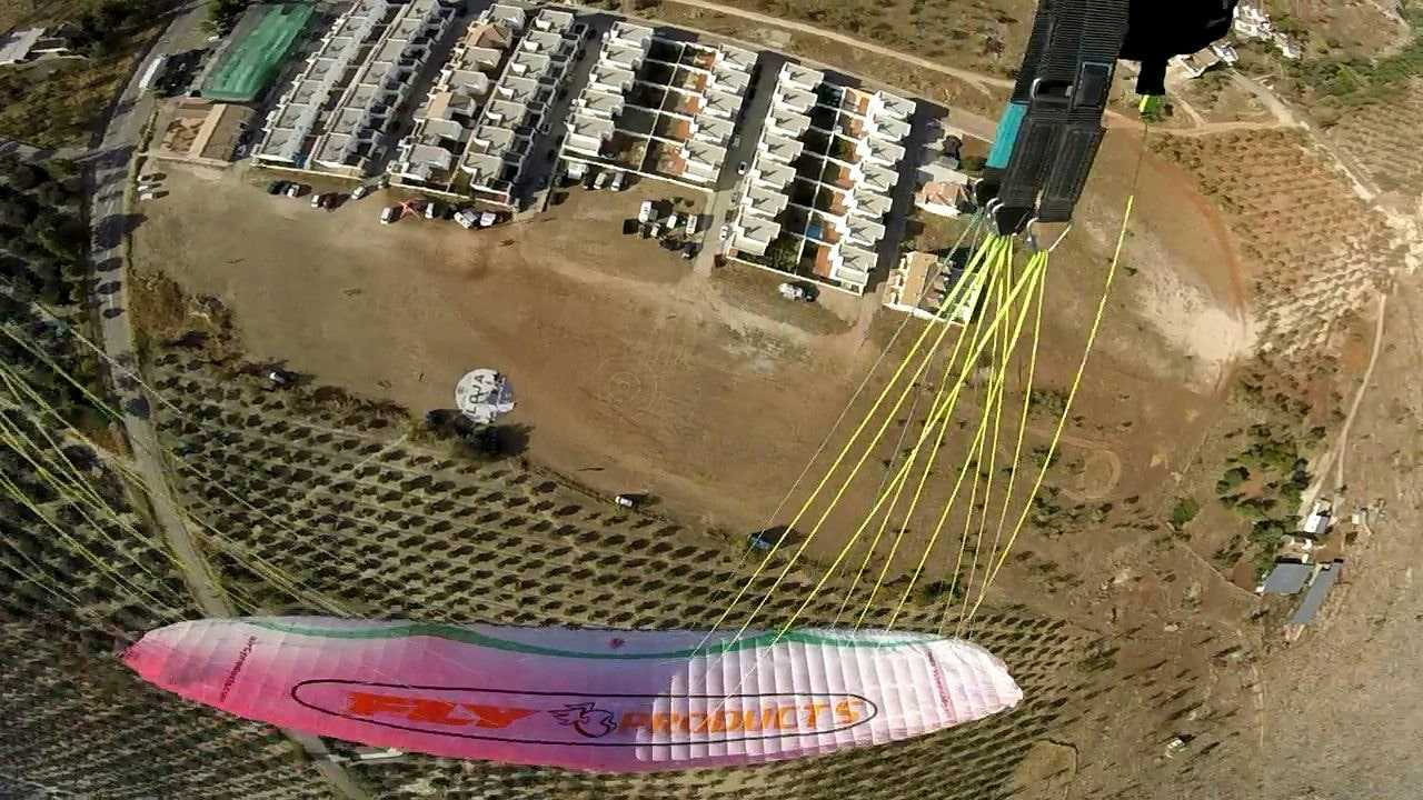
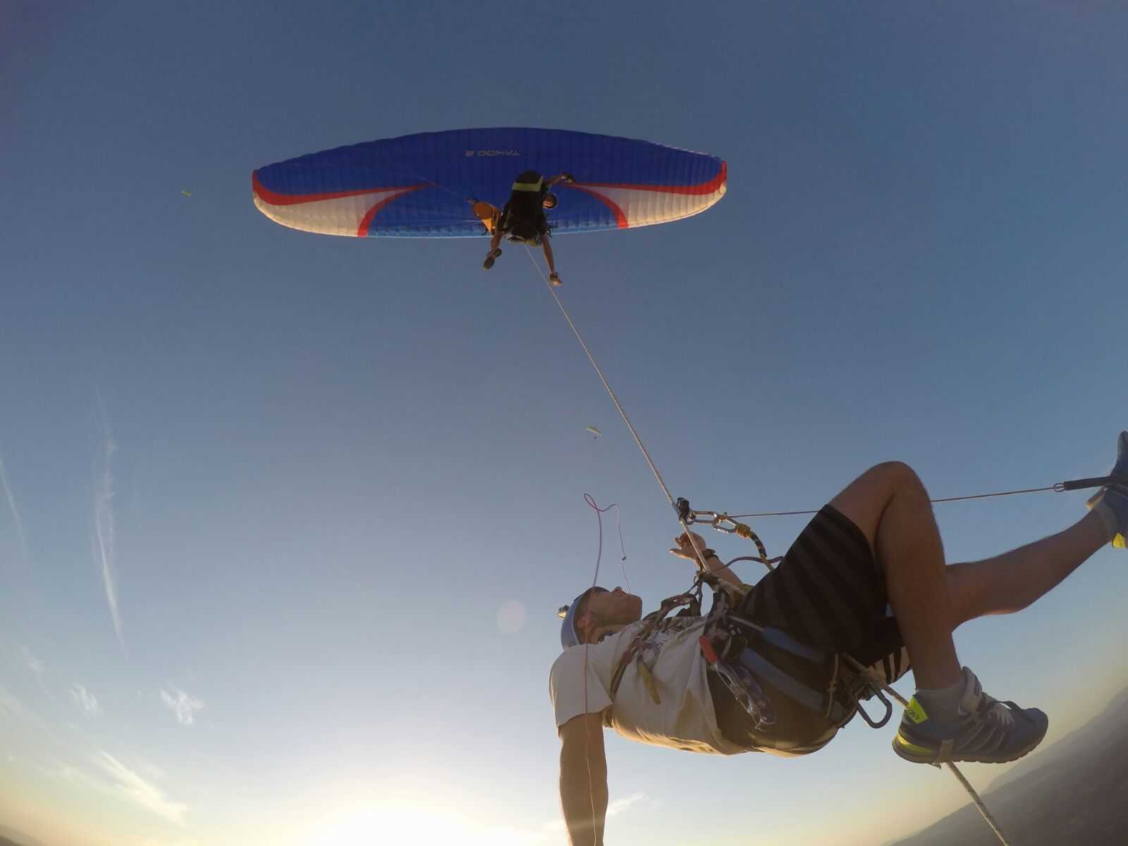
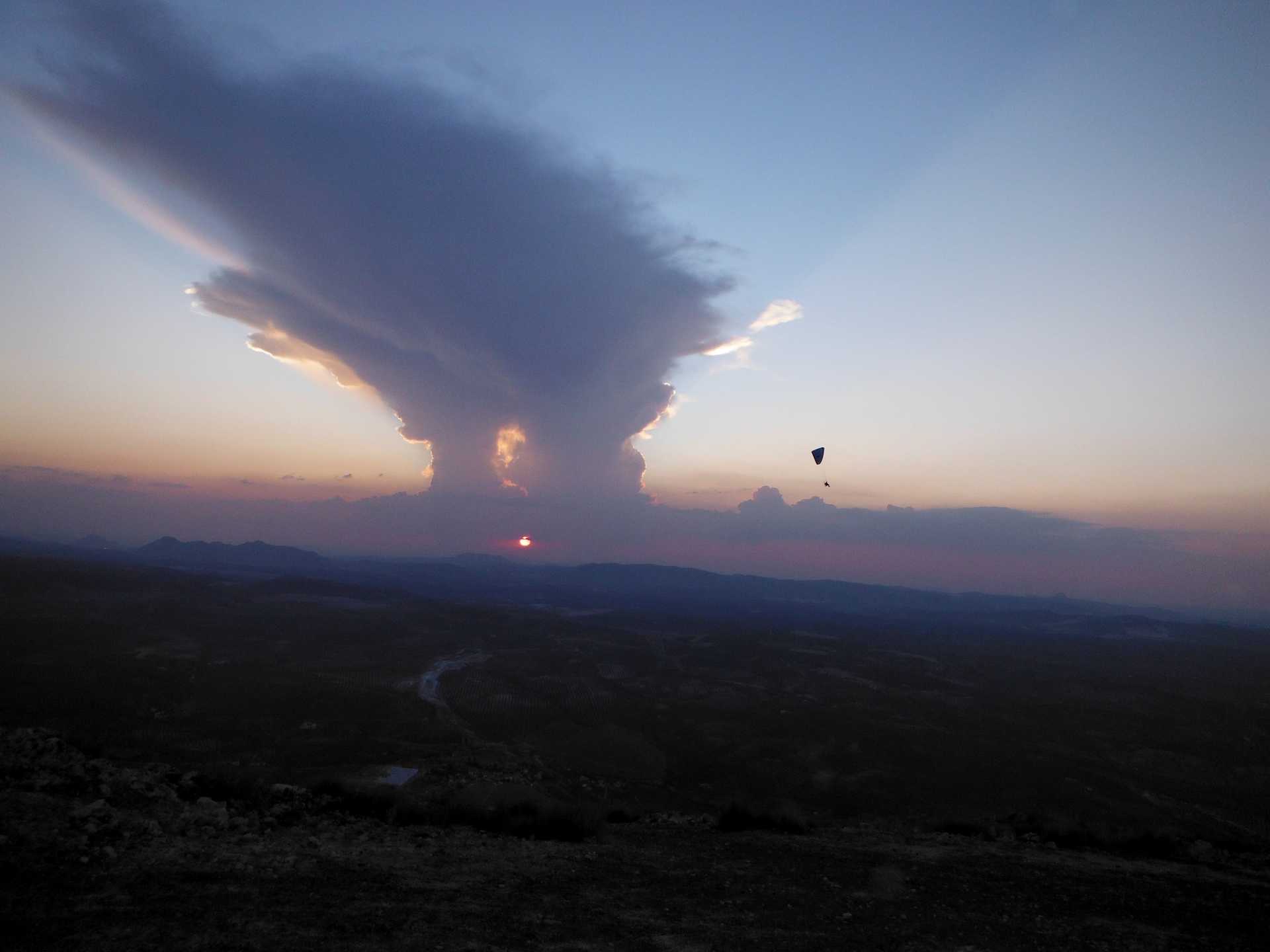
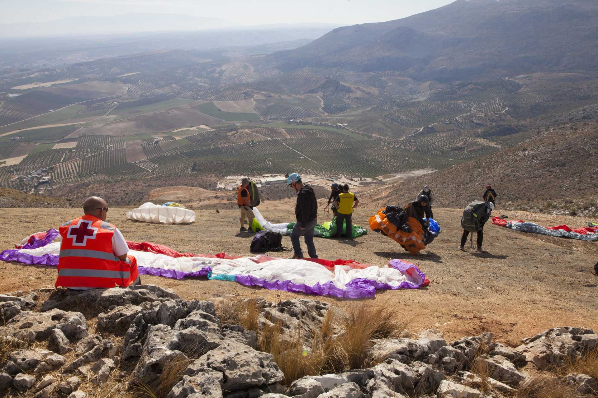
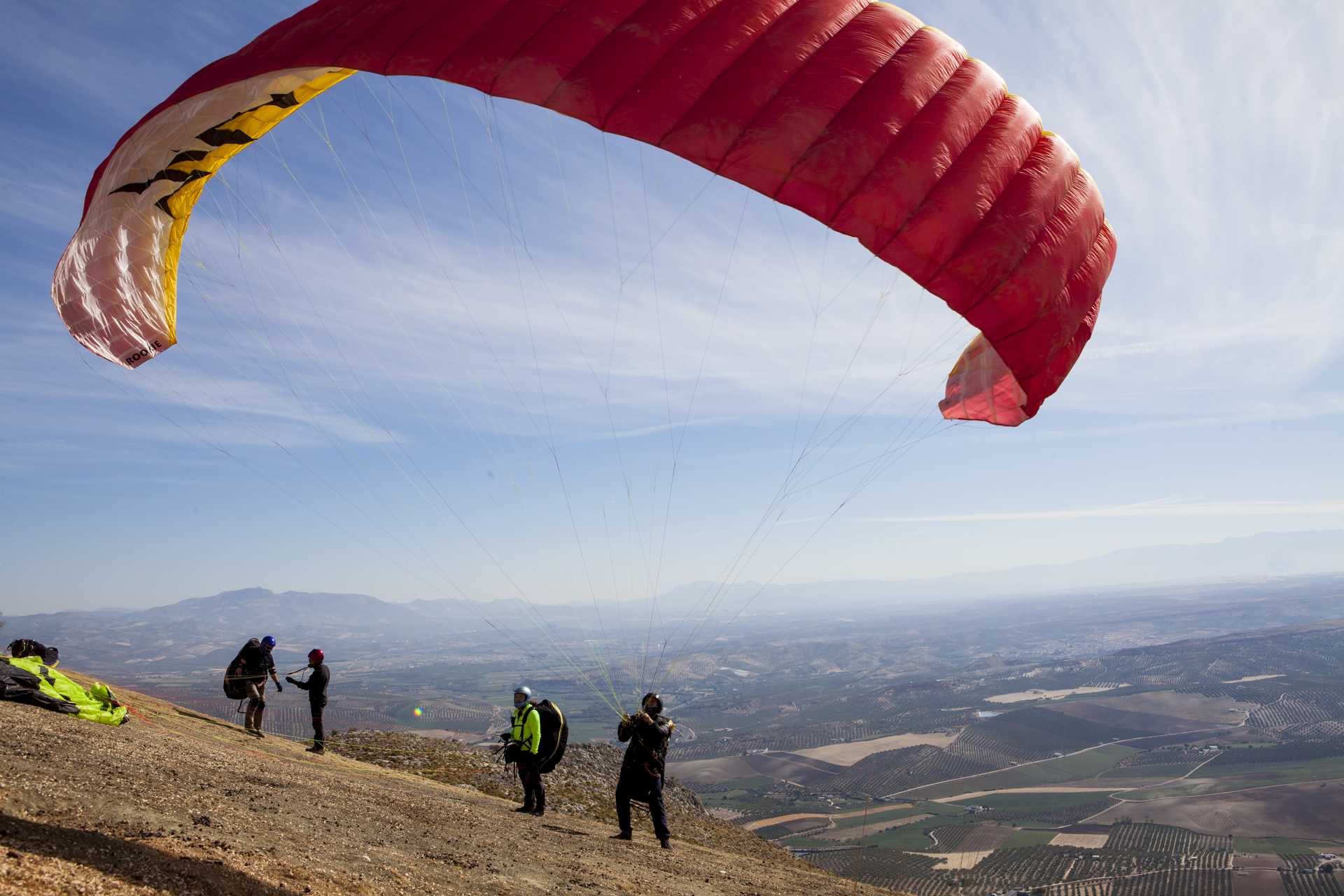
The relief offers wonderful soaring flight in the evening. With an average drop of 700 metres, possibilities of flying to the east, the west and the north, and with broad, open launch and landing sites, the zone offers excellent safety margins for manoeuvres, and flyers can easily rise to 1.500 metres (about 300 mabove the launch site).
The slope offers strong thermal conditions, as well as gentle glass-off flying, which can mean hours of gliding in very calm conditions. Any time of year can be good for flying here, but summer is the period that can generally offer most.
Launch sites East launch site Coordinates: 37º 08’ 58.98’’ N / 04º 08’ 57.34’’ W. Orientation: East-Southeast. Altitude: 990 metres. Drop: 450 metres. Dimensions: Approximately 20 metres wide and 15 metres long, with a noticeable slope. Access: From the A-92, take exit 193 for Loja. At a roundabout marked with an obelisk, you will find Alcaudique avenue - go down this road; go past the cemetery and the park and continue on a surfaced road that goes in front of the landing area. To get to the launch site, continue along the same road until it turns into a dirt track. About300 metres after this point, turn to the right and this will take you to the launch site. At the start of the launch site there is a preparation area and a car park. Facilities: Its condition is excellent. Precautions: There is nothing here that represents a particular danger. West launch site Coordinates: 37º 07’ 57.58’’ N / 04º 11’ 00.79’’ W. Orientation: West-Northwest. Altitude: 1,230 metres. Drop: 590 metres. Dimensions: Approximately 60 metres wide and 40 metres long with a gentle slope. Access: Start on the Avenida de Andalucía (the old Malaga road). From there, the start of the climb to the launch site is located between the Guardia Civil Station and the chapel of San Roque. As a reference, the beginning of the climb is from a square next to a car sales room, and to the right is the road going up to the launch site. Another option, located at the Abades service area, is to take the road next to the petrol station. At the start of the launch site there is a preparation area and a car park. Facilities: It has a weather station and windsocks. It is in excellent condition and ready to use. Precautions: The West launch site can become dangerous and treacherous for gliding when the wind blows from the south. Be careful when there is a south wind! Landing sites East landing site (Rincón de Alcaudique) Coordinates: 37º 07’ 57.86’’ N / 04º 12’ 39.57’’ W. Access: To access the East flying area: from the A-92, take exit 193 for Loja. At a roundabout marked with an obelisk, you will find Alcaudique avenue - go down this road; go past the cemetery and the park and continue on a surfaced road that goes in front of the landing area. Altitude: 543 metres. Facilities: It is in excellent condition and ready to use. Parking: By the side of the road. Precautions: There is nothing here that represents a particular danger. West landing site (Venta el Rayo) Coordinates: 37º 08’ 57.64’’ N / 04º 07’ 49.06’’ W. Access: To get here, take exit 187 to leave the A-92, inthe Venta del Rayo direction. Go through Venta del Rayo and continue as far as the Venta San Rafael public house, which is beside the road, and just beside this is the landing site. Altitude: 640 metres. Facilities: There are windsocks. It is in excellent condition and ready to use. Parking: By the side of the road. Precautions: None, this landing site is rated as "green" because it is a very open space.
Services and infrastructure
Target audiences
Segments
Type of activity
Registry number
Season


EXPLORE ANDALUSIA
EXPERIENCES


