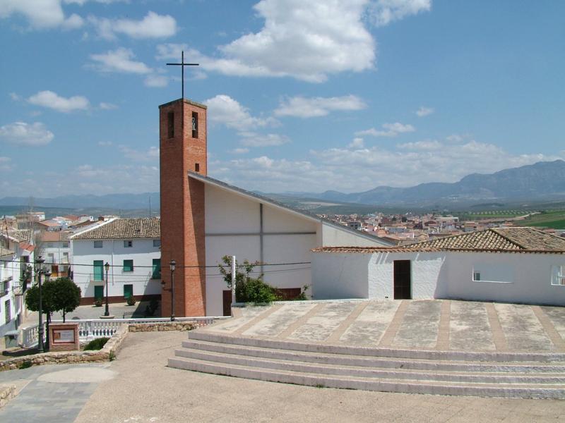
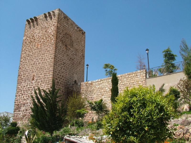
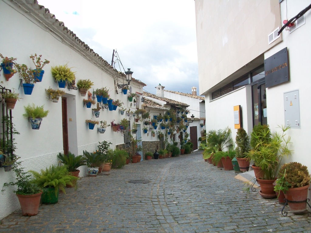
Peal de Becerro

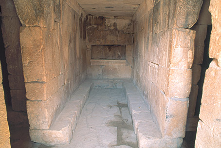
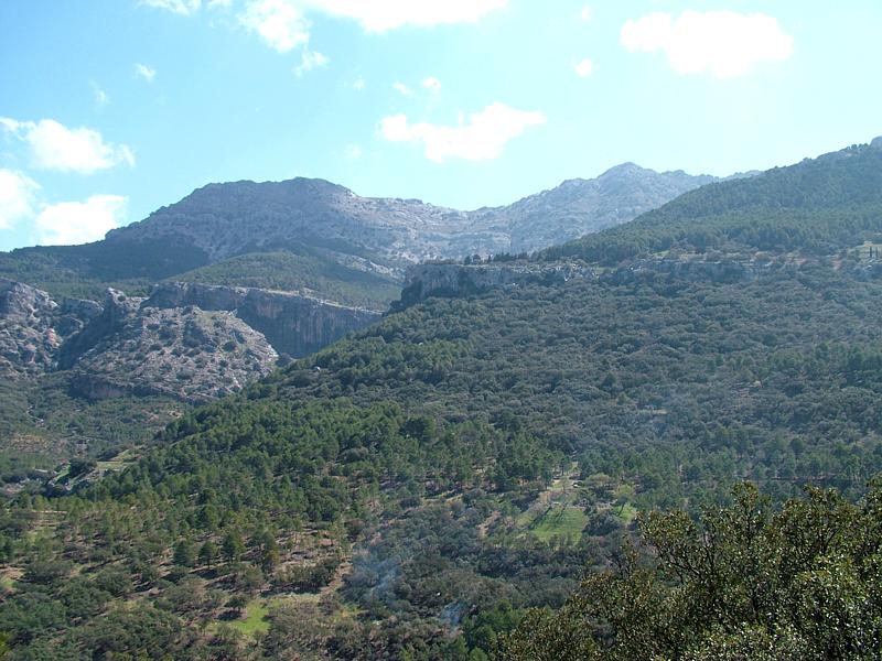
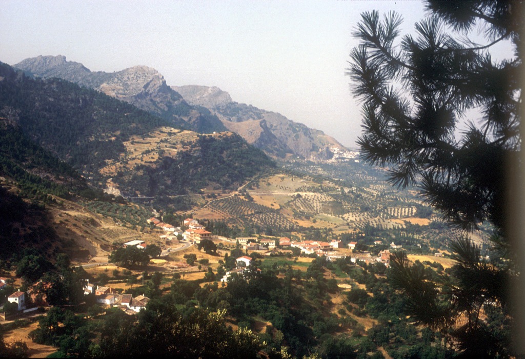
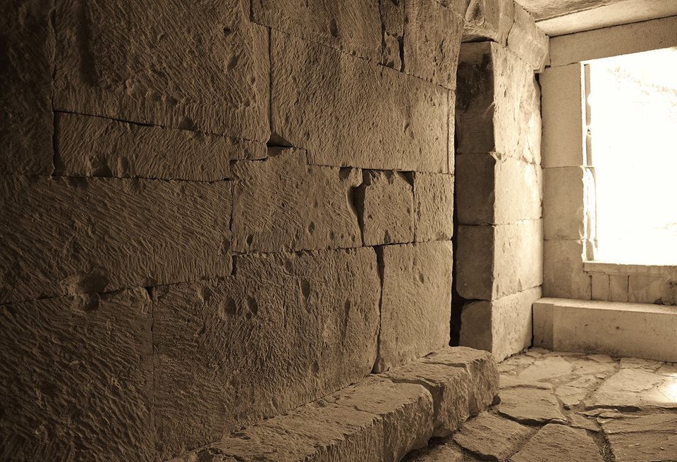
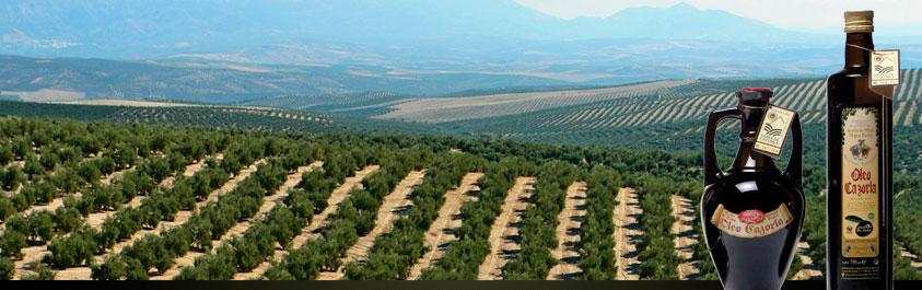
This village is situated to the east of the province, between the Sierra de Cazorla mountains and Úbeda and Baeza's countryside, in a landscape dominated by olive groves and cereal fields. Within its municipal district, we can find la Toya, a well preserved Iberian burial chamber. In the village itself, we can visit the Castle and the Church of la Encarnación.
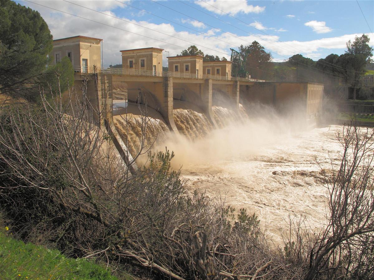
Part of its municipal district is included in the Sierras de Cazorla, Segura and Las Villas National Park, the largest protected natural space in Spain: an orographic labyrinth of valleys, calares, gorges, mountains and flat lands of enormous hydrological importance (due to the numerous rivers and streams which spring within the Park); of great botanical importance (different varieties of pine trees and a lot of endemic species); it is also important aesthetically and from a wildlife point of view. Because of this it is one of the most visited and frequented natural spaces in the country.
History
The first known human settlements date from the Iberian period. Several ceramic vases belonging to a Iberian funeral chamber have been found in a place called el Cerro de la Horca.
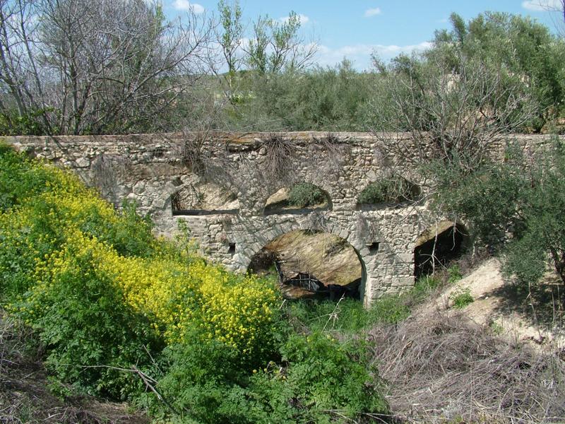
In the place known as Toya we can find remains of a Roman castle, medieval towers and funerary urns.
King Fernando VII gave it the title of Village in 1822.
Eminent citizens
Rafael Laínez Alcalá, poet and historian.
Angal Picazo, film director.

- Max 36
- Min 31
- Max 96
- Min 87
- °C
- °F