
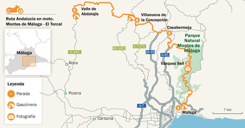
Montes de Málaga - El Torcal Route
Off-road just a stone’s throw from the capital of the Costa del Sol
It is rare to find so much natural richness and diversity so close to a large city. After only a few kilometres, you will find yourself in absolute solitude, on tracks running among forests, crop fields, rocky outcrops and a magnificent high mountain landscape: a unique privilege of the city of Malaga. This route offers a pleasant and varied itinerary that leads towards the north of the province, a magnificent recipe for disconnecting from urban stress and finding yourself.
On route
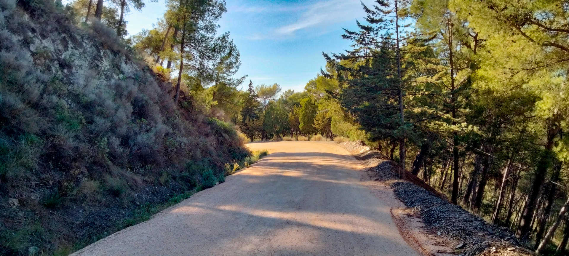
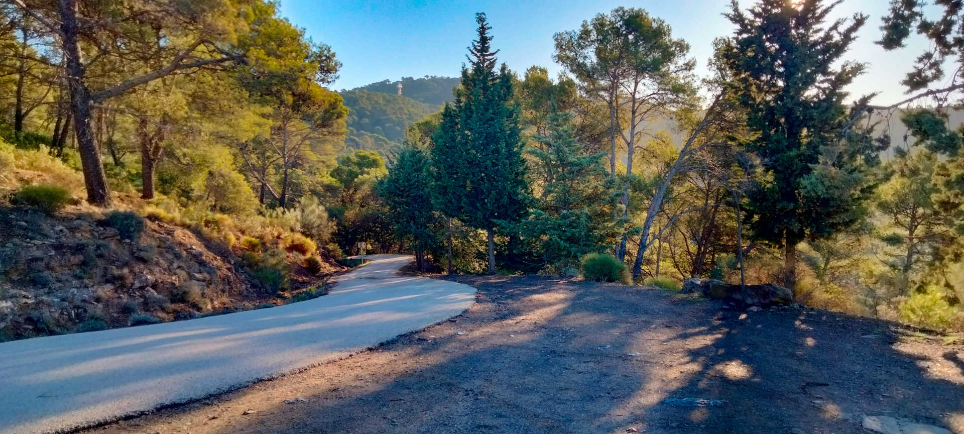
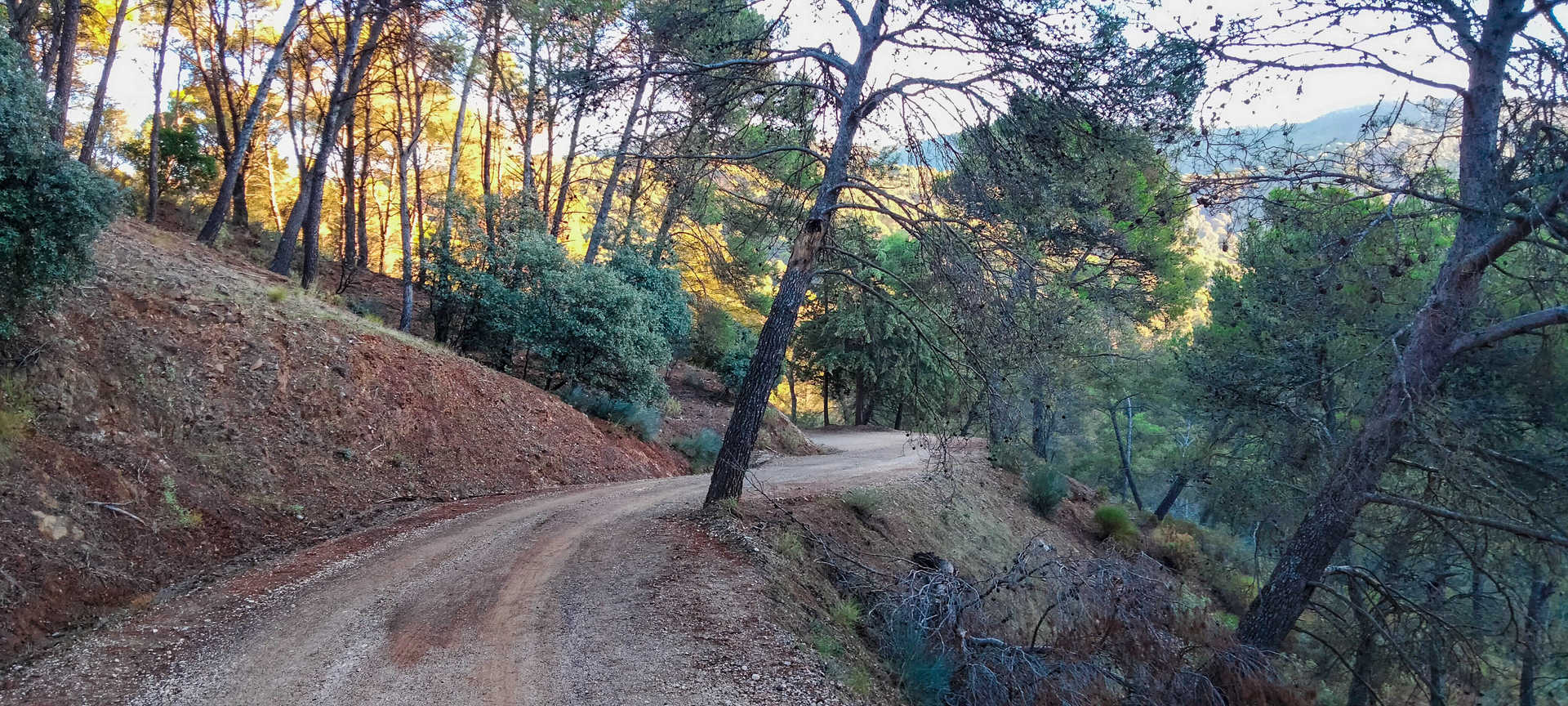
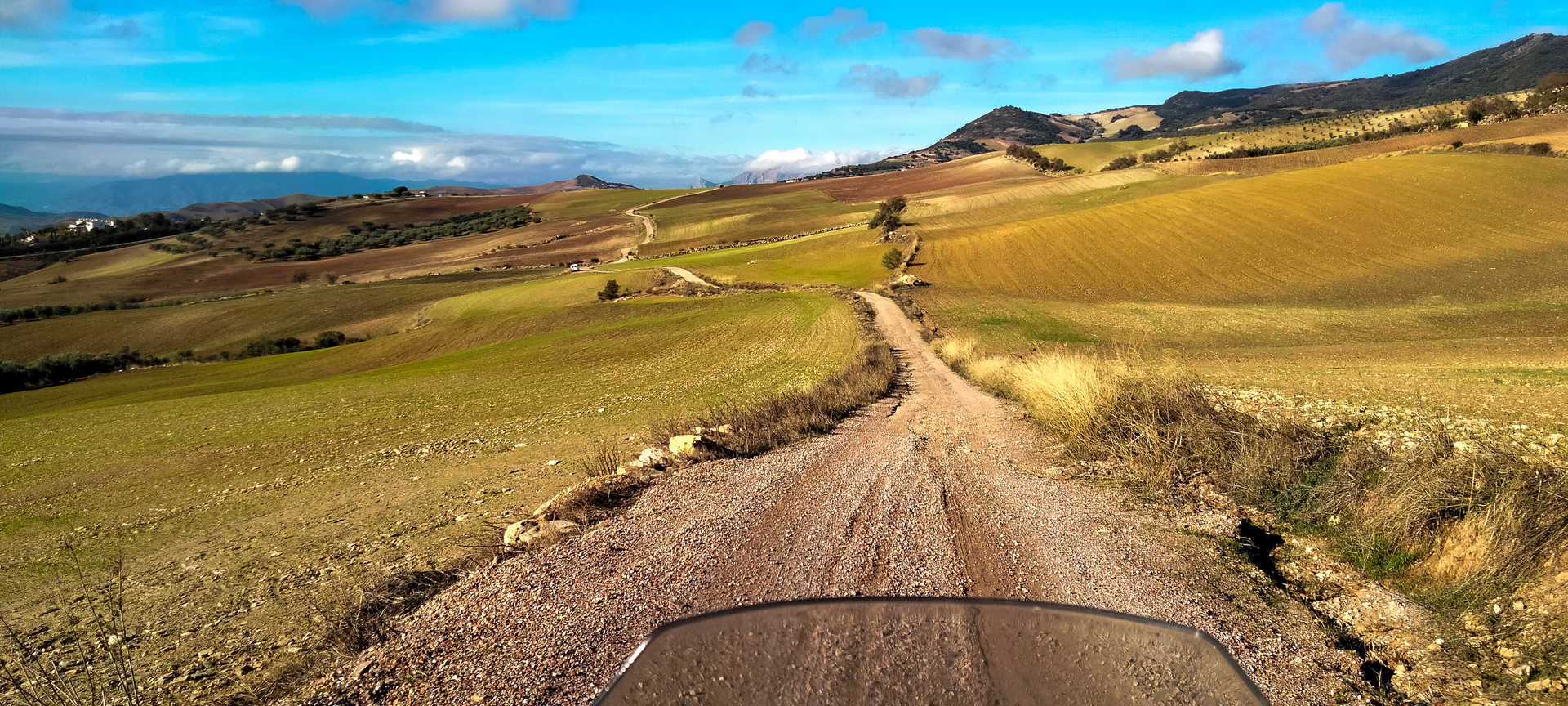
It begins in the city of Malaga in the Limonar area, quickly gaining altitude on a slow, narrow road with many curves and steep slopes. Having left the city behind, you will leave behind impressive views. From the crossroads at the “carretera de los Montes”, the road improves, becoming a broad track running among pine forests. The surface has few potholes and scarcely any slope, making it very pleasant to ride on. You will have to take care in this section through the interior of the Montes de Málaga natural park, since you will encounter many cyclists and walkers.
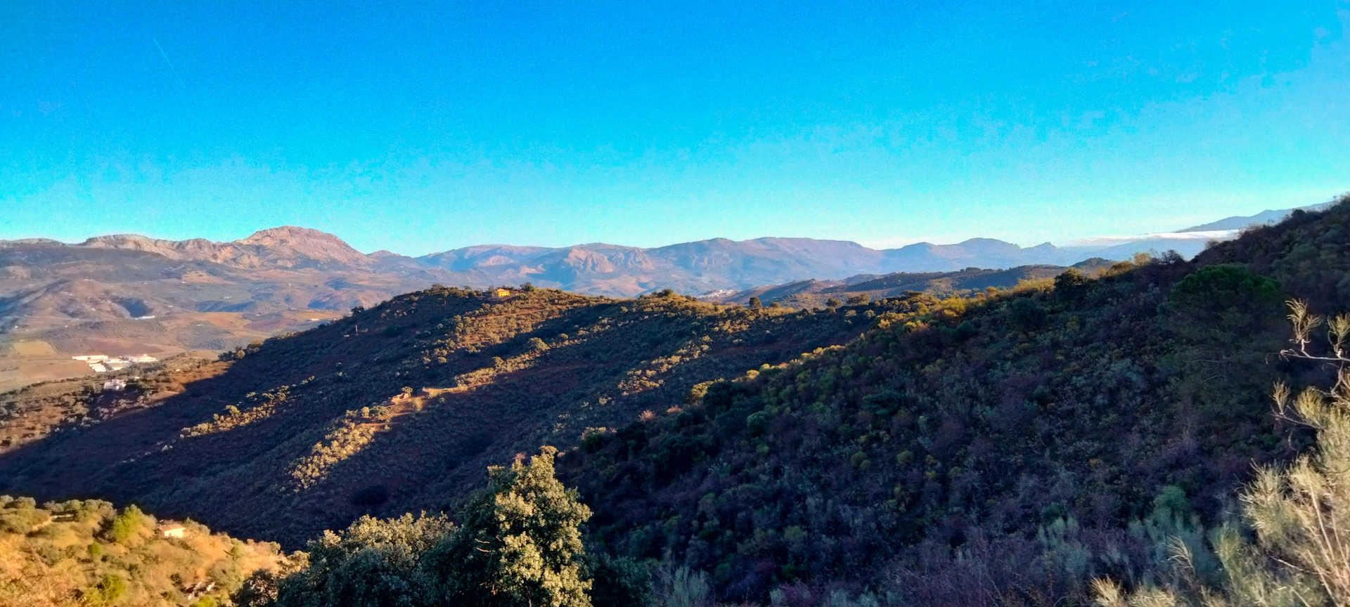
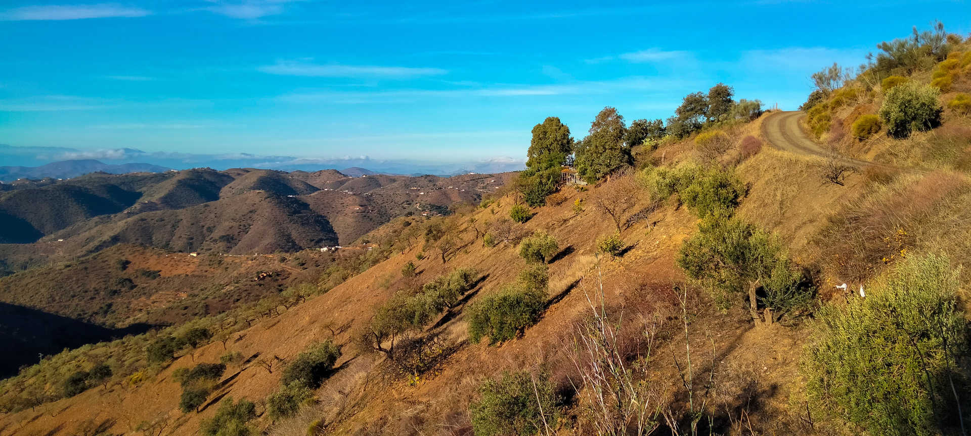
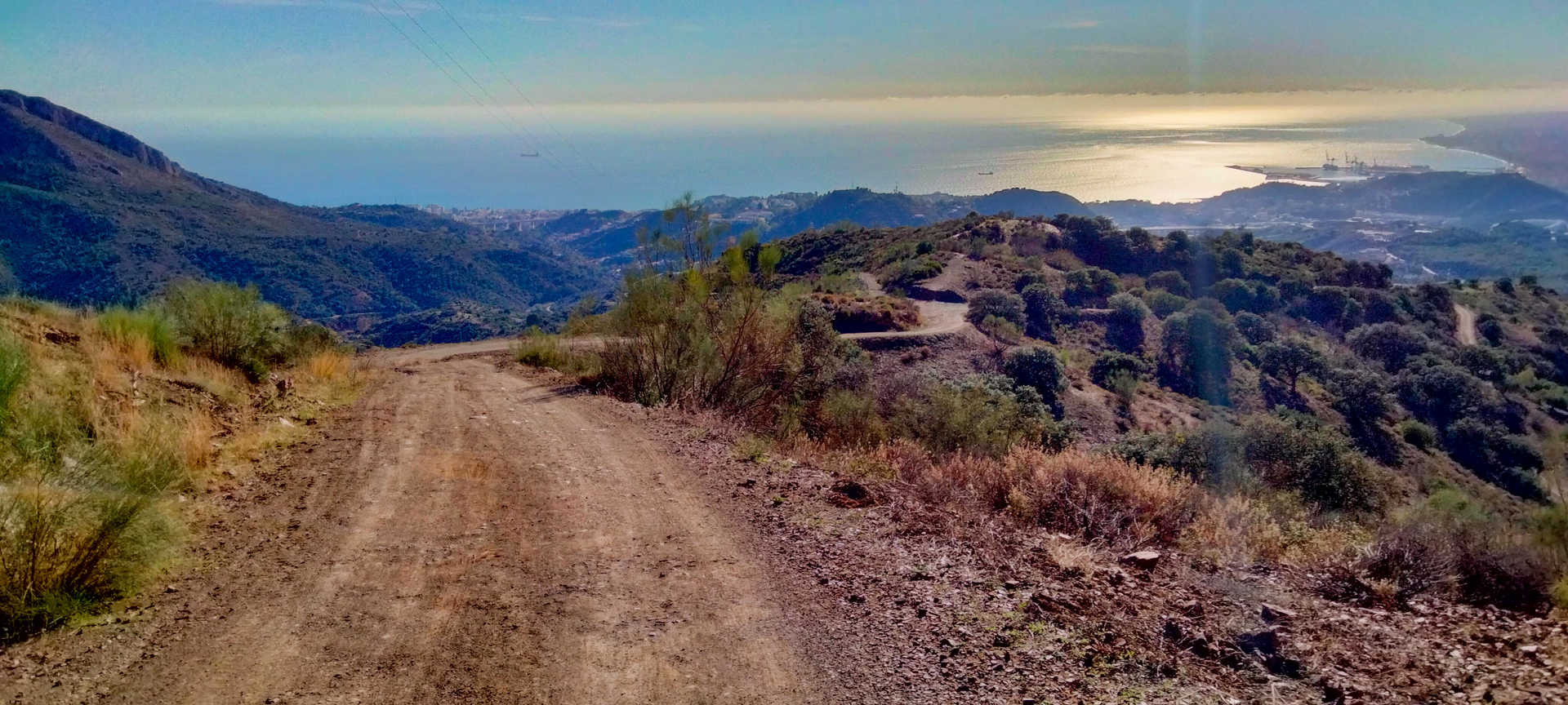
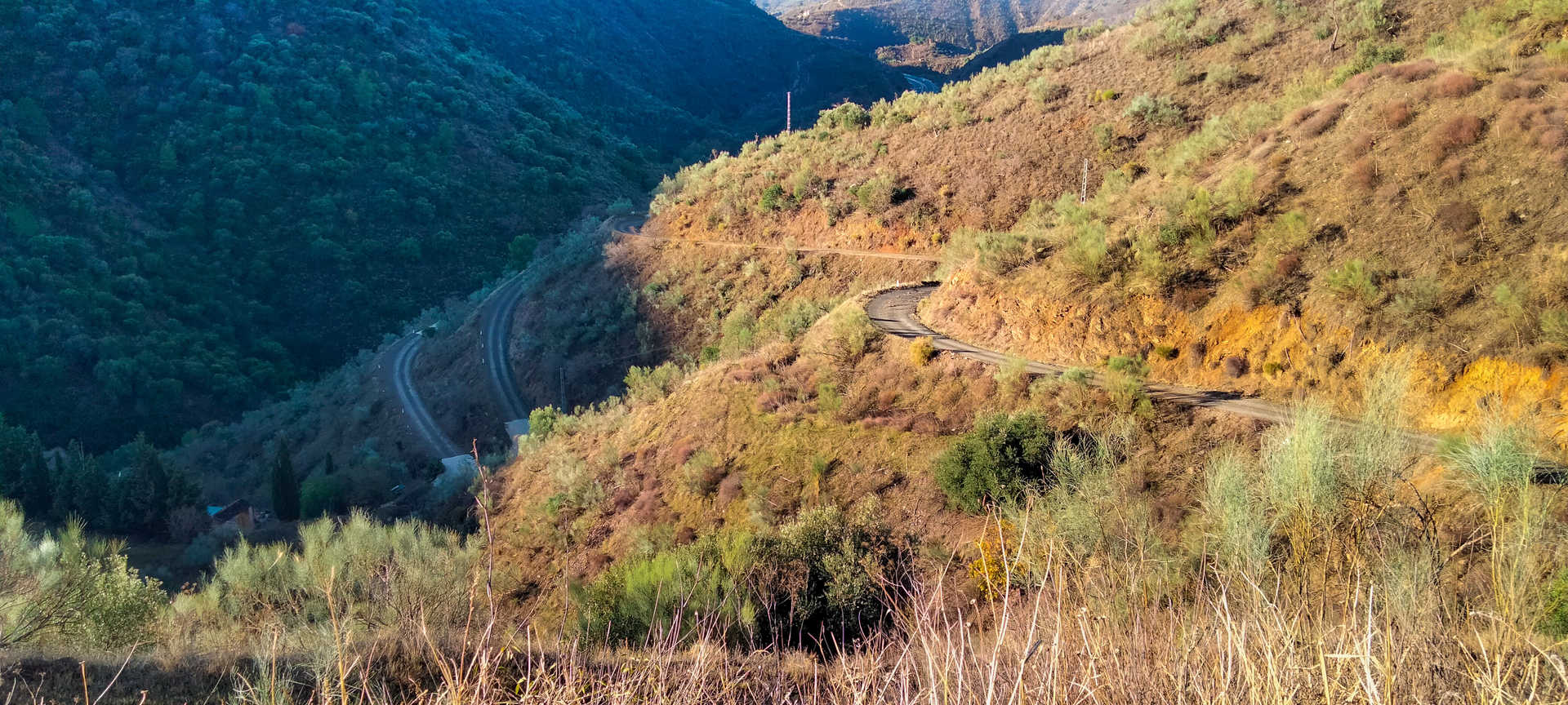
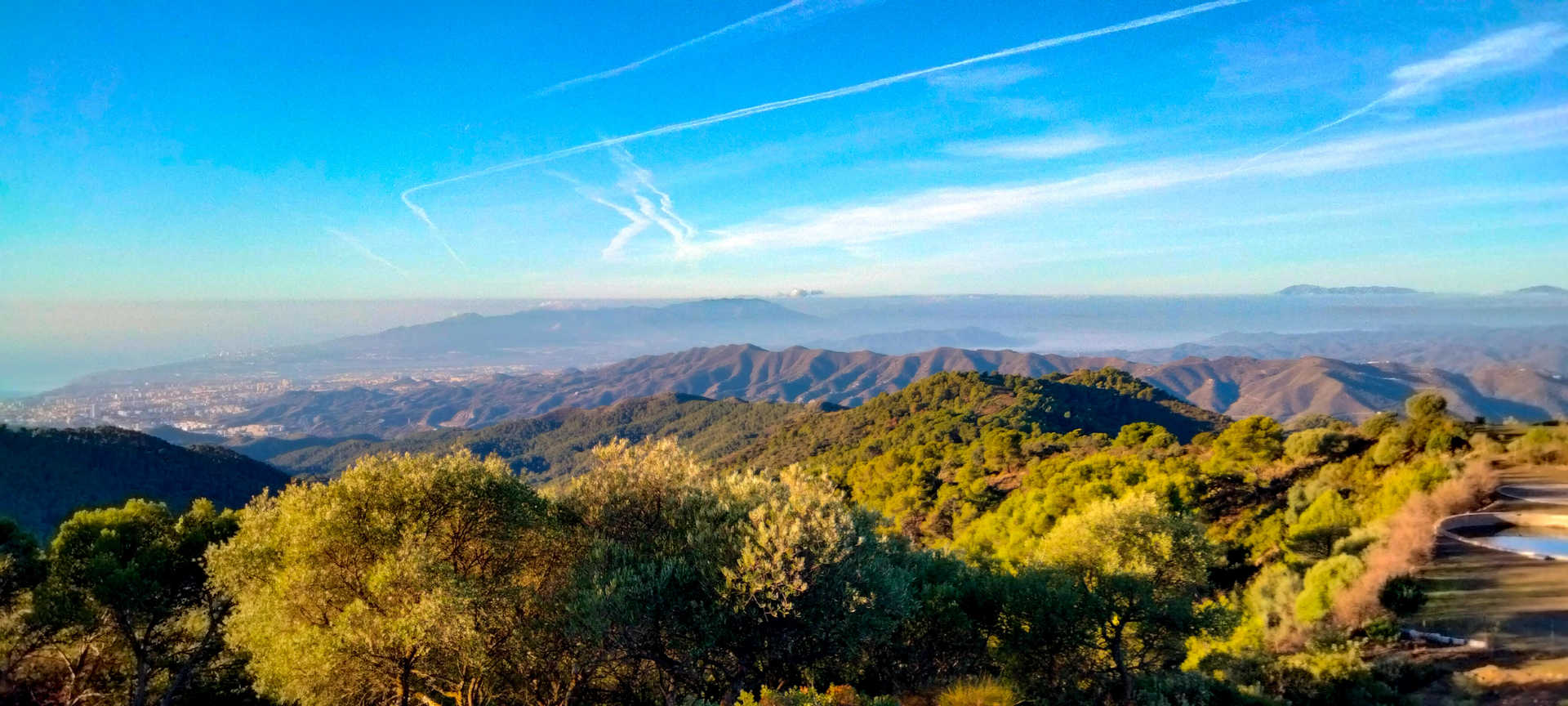
After pausing at the spectacular Vázquez Sell vantage point and enjoying a magnificent panorama of Malaga and its coastline, you continue until you leave the boundaries of the natural park behind you. In the landscape, the pine forests give way to a lush Mediterranean forest that alternates with scrubland. Pay careful attention on the descent, which is very abrupt and on narrow, very winding roads.
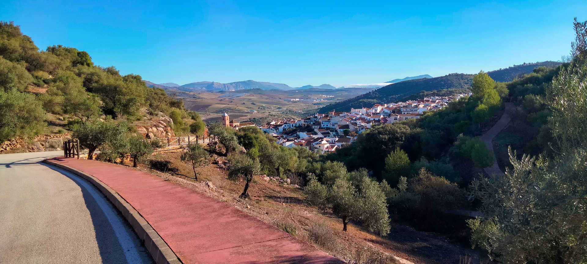
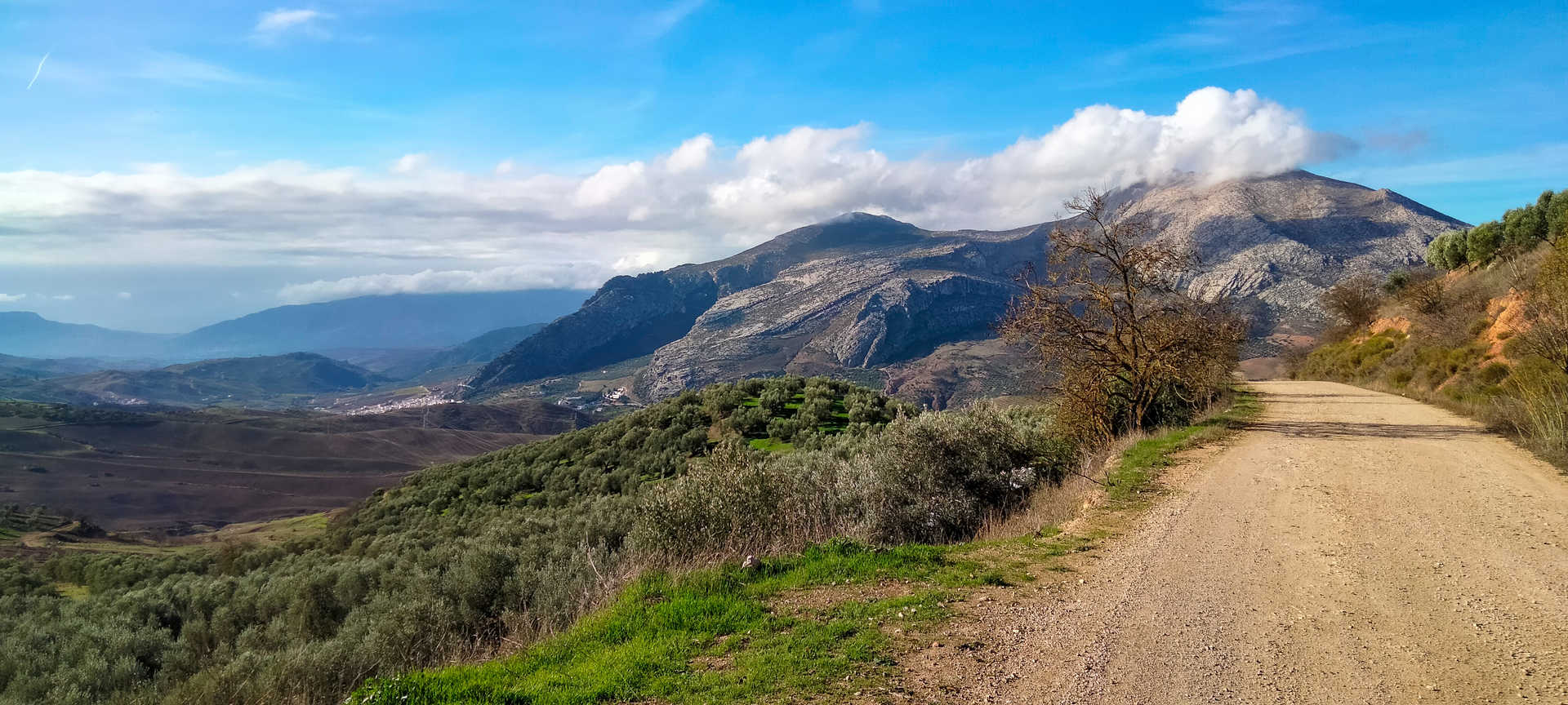
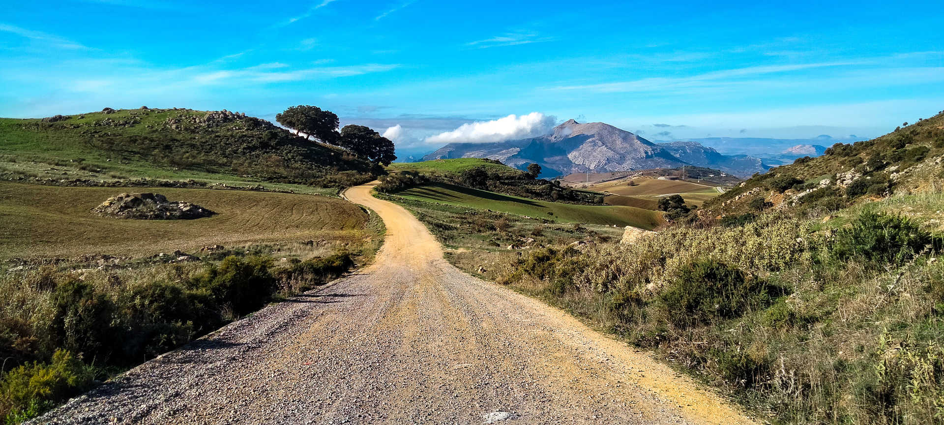
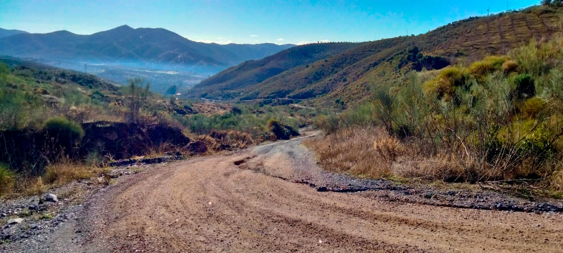
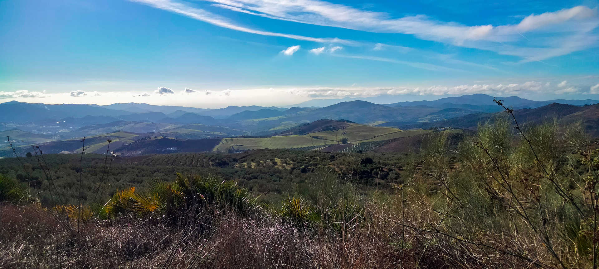
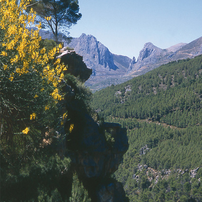
After crossing the A-45 highway, you face a sharp descent to reach Casabermeja. From here on, the route combines stretches of road and simple tracks in good condition, which will lead you to the village of Villanueva de la Concepción. You then continue climbing until you reach the height of 1,000 meters in the vicinity of the natural site of Torcal de Antequera, a landscape that enchants with the magic of its rocky outcrops. You then follow gravel roads, which are in good condition, and cross fields of crops, fruits and olive trees, which offer stunning views of the La Capilla peak, which closes in from the west. After a winding descent you will reach the village of Abdalajís, the end point of this route.
In this place, which lies halfway between the districts of Valle del Guadalhorce and Antequera, you can recharge your batteries by savouring a cuisine that never disappoints. You cannot leave these mountains without sampling their culinary triad: Malaga goat, honey and cheese. Its traditional local dishes include fritters, migas and hot gazpacho, although it also has some as unique as matamarío (fish soup), winter almond soup and chickpea buns. As for sweets, it offers shortbread cake, meloja (a walnut- and honey-based dessert) and magnificent porridge.
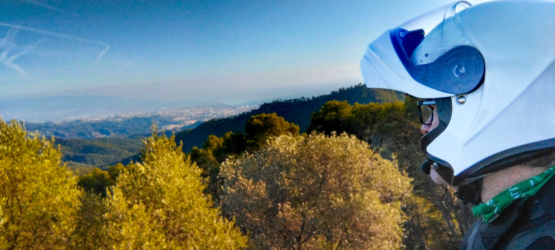
#miradormalaga selfie spot
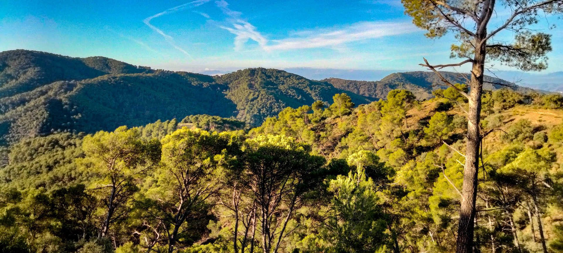
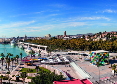
Vázquez Sell Vantage Point. Set in the heart of the Los Montes de Málaga natural park, it offers spectacular panoramic views of the bay of Malaga, to the south, and of the limestone mountain range in the west of the province of Malaga.
Itineraries
Services and infrastructure
Target audiences
Segments
Specialties
Season


EXPLORE ANDALUSIA
EXPERIENCES


