
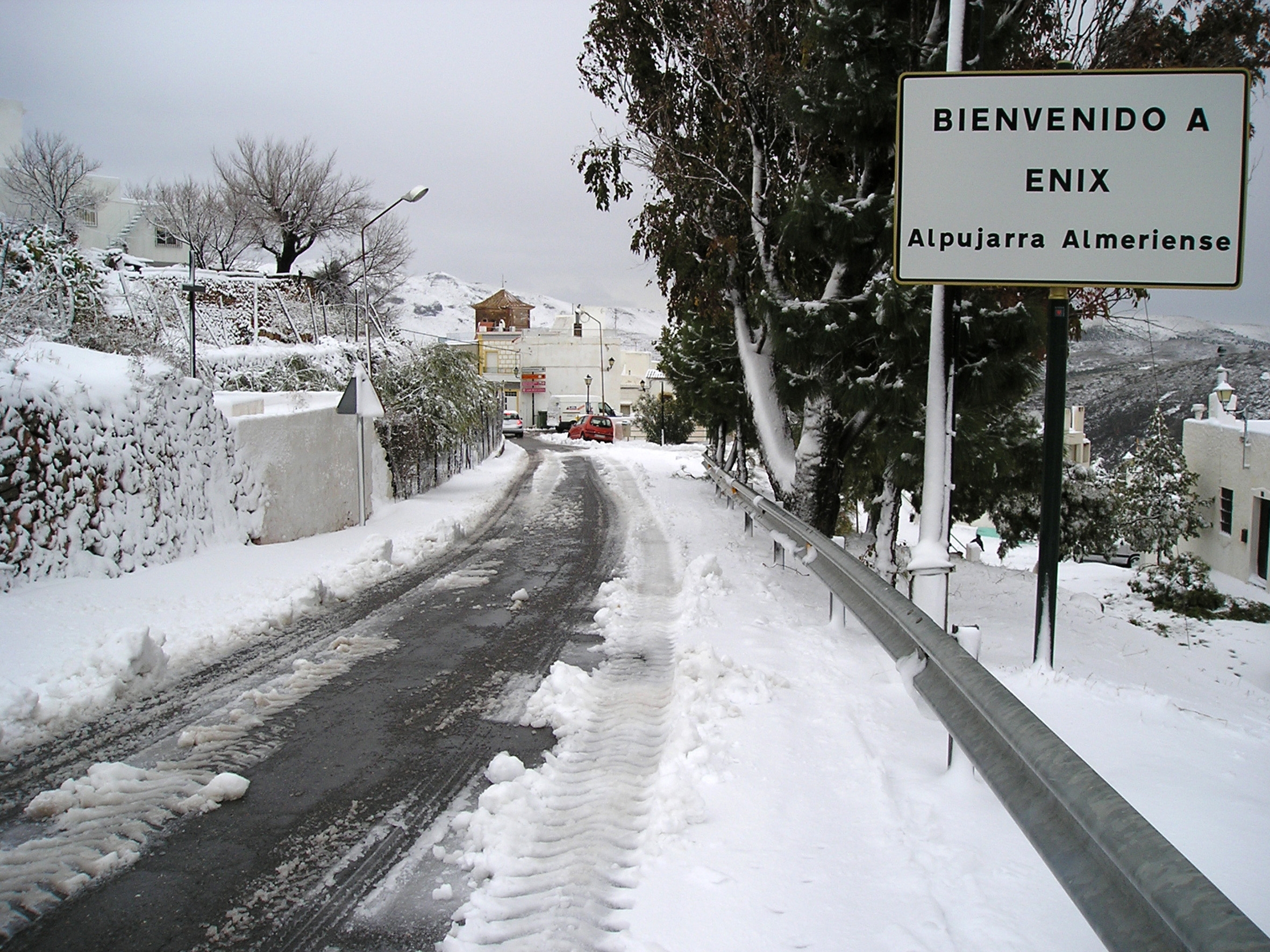
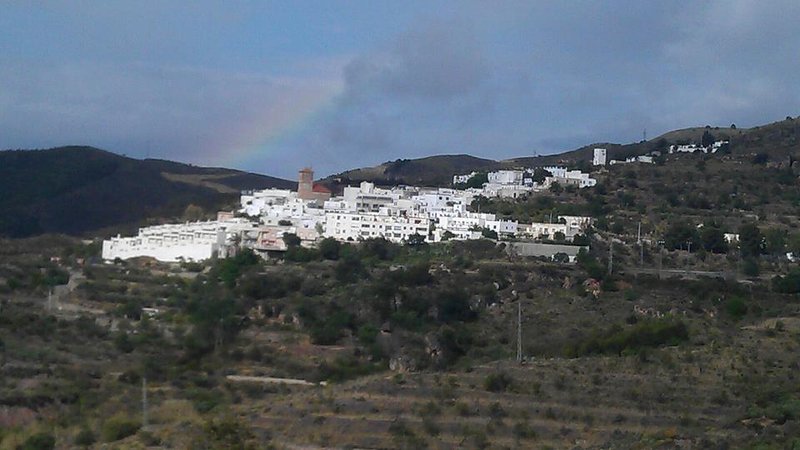
Enix - Almeria Trail - PR-A 120
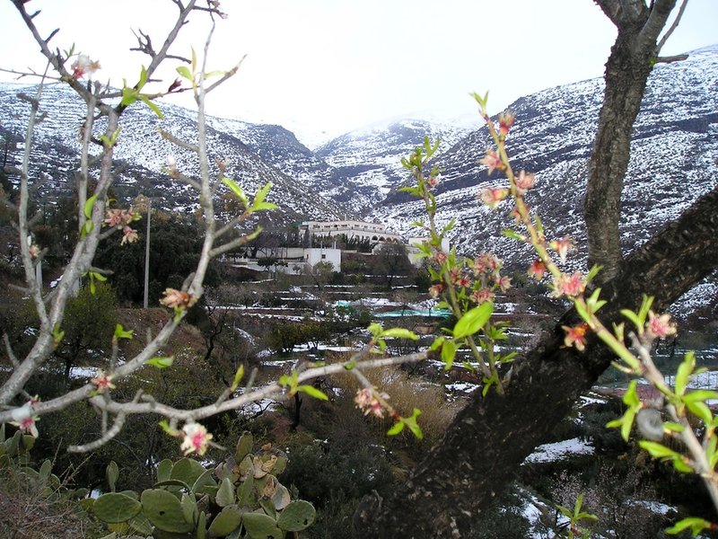
The Enix to Almeria Trail - 120 PR-A, as its name indicates, links the town of Enix in the Sierra de Gádor, with the capital Almeria. The route through the limestone mountains offers us a winding landscape with numerous gorges carved out over the centuries by the erosive action of water, where the rocks have been in the open air.
The trail starts at the entrance of Enix, just before the square or Plaza. It descends along Vega path which is a cement path as far as the area of Peñas Blancas, confluences of Barrancos de La Fuente and La Huerta, and it then explores an old path near the water pipes of Bodegas Amphora.
There are areas of slate and clay and you can see typical plants from the Sierra de Gádor, lavender, esparto grass, broom, hawthorn, gorse, summer savory, etc.
The path reaches the entrance to the Bodegas Amphora to continue a little along the asphalt track, coming off again shortly afterwards to start the old path to the mountains that the villagers used to use to collect esparto. The path passes by an electric tower and climbs to an altitude of 800, where you can see the Poniente Almeriense beaches, and then there is a sharp turn to the left between the lush espartal.
In the area of Pulpitillo, where the highest point on the route is reached, part of the Almeria Bay and Punta del Río can be seen. We pass the Aljibe Alto farmhouse in a small river bed on our left. When we past the sign indicating the distance to Enix and to Almeria, we continue along the dirt track to La Cantina.
When we enter the municipal district of Almería, the views are spectacular. The path continues along the so-called Camino Romano in a steep descent, reaching the entrance to the Cueva de la Higuera.
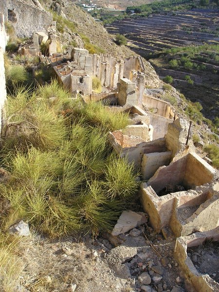
After we pass some sheepfolds built beside some former mine entrances, we start zigzagging down the Cerro de Los Caracolillos. We go by Collado de las Launas and continue straight along the track until we see the sign for Bayana on our left. We take the path, which is newly built, and go down towards a ravine, where there are some support ropes, passing through a corrugated iron tunnel below the access to the motorway.
We continue zigzagging down the hillside until we see the stone bridge from the time of Charles III. From here, we descend until we reach the Bayana petrol station where the trail ends.
Type of Trail: Linear. Trail Status: Approved and Signposted 2007. Total Length: 15 km. Sections: 1 Accessibility: It can be done on foot. Download Topographic Guide
Itineraries


Services and infrastructure
Target audiences
Segments
Season


EXPLORE ANDALUSIA
EXPERIENCES


