
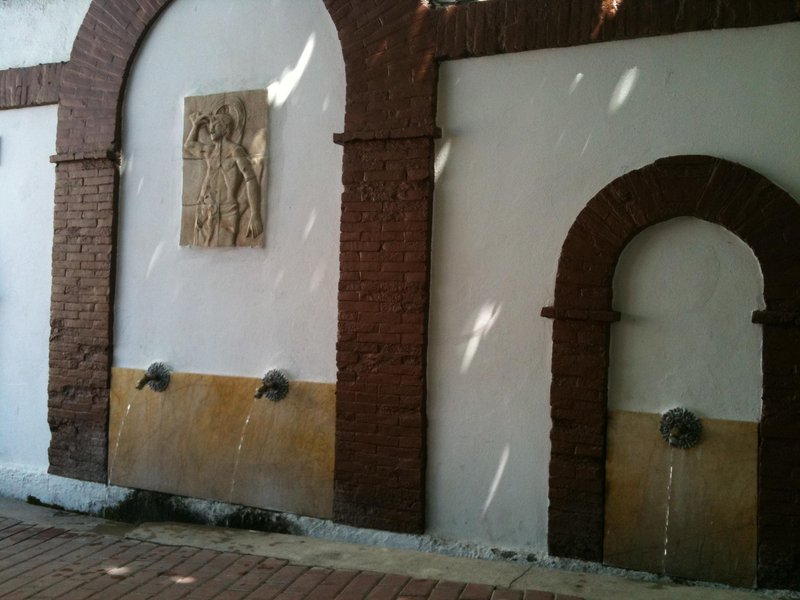
Minas del Talco Trail - PR–A 301
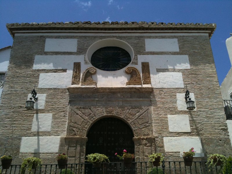
The Minas de Talco Trail - PR-A 301 has its origins in the ancient mining path that the locals of Lúcar and Somontín used to access the talco or "jaboncillo" mining shafts and the farmhouses in mid-mountain areas.
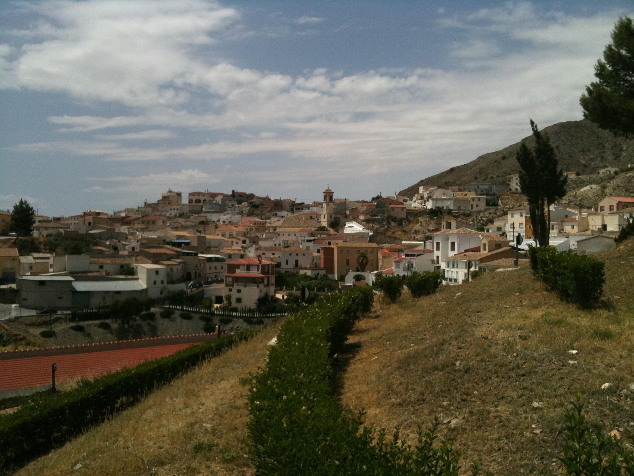
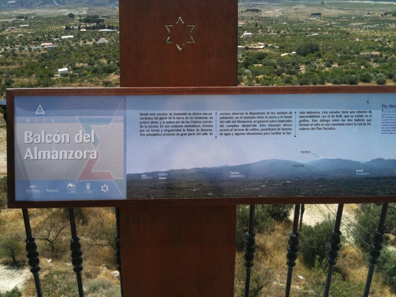
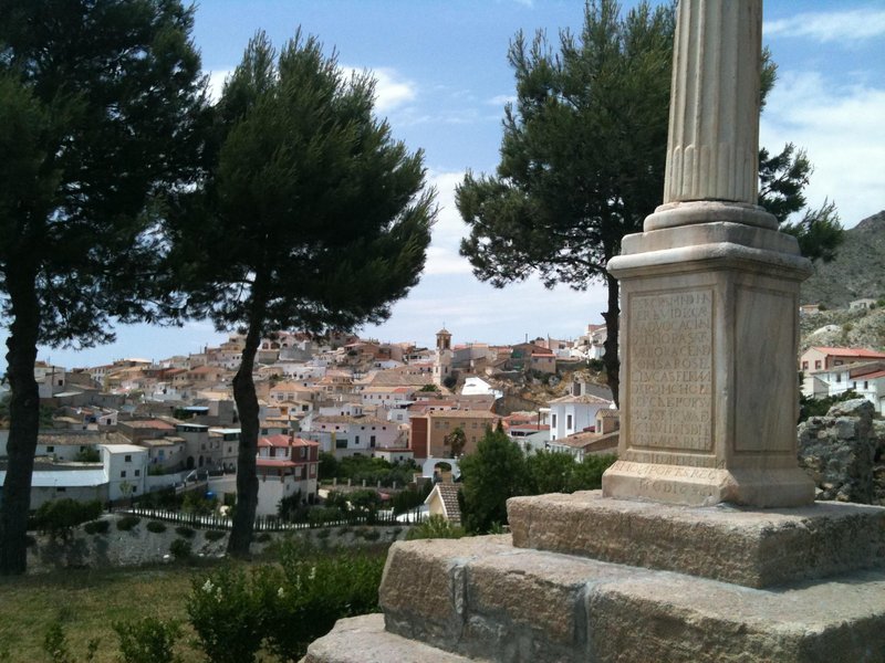
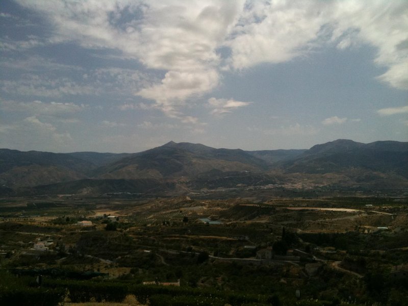
This Minas del Talco Trail runs through the Sierra de las Estancias at its most northern point. It is in the Alto Almanzora, where the geological diversity is very evident around the Montroy Hill in the district of Lúcar, or in La Asomaica in the district of Somontín, and when we descend to the different watercourses running along and crossing the path.
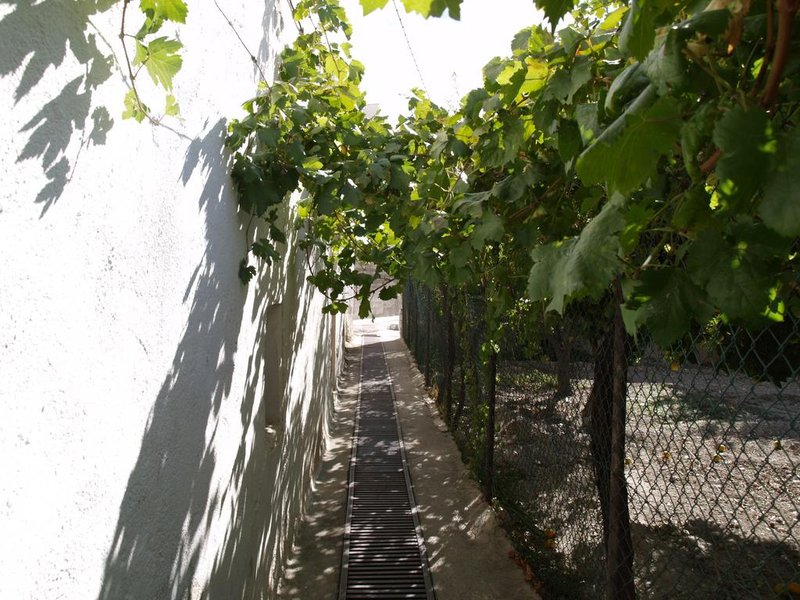
The path starts from Lúcar town in the direction of the Lúcar watercourse on a very steep path surrounded by the La Santa hillside. Once at the watercourse, the path leads to an upward narrow path as far as the old mill, where the path divides in two. It continues to the right and goes along the southern slope of the Montroy mountains. This section is of great beauty offering views of the Sierra de los Filabres and the Valle del Almanzora.
Shortly before reaching "El Tabernero" farmhouse, the path turns towards the left to the Barranco Rojo, crossing at the most accessible point. After a small hill, it reaches a wooded grove of Holm oaks and pines. After a gentle slope, the path reaches the Barranco de Escuchagranos.
At the watercourse, the path climbs a steep slope up to the Polvorín. At this point, we continue the path to join the sierra de Somontín way, passing by the current aggregate quarries of the town.
From Somontín on the path known as Camino de la Cigarra, we return to the Lúcar watercourse, and from there we go to the Plantonal farmhouse and Escuchagranos watercourse to reach the Camino del El Molinillo. From the square or plaza, we cross the neighbourhood to reach Mirador de La Santa viewpoint.
The trail offers excellent options for visitors, as it allows walkers to take an ascent of a unique scenic quality with excellent options for fans of industrial archaeology. It is surrounded by numerous mine shafts, now mostly filled in, making it a very attractive region for its ethnographic interest.
Type of Trail: Circular. Trail Status: Approved and Signposted 2008. Total Length: 13.16 km. Sections: 1 Accessibility: It can be done on foot. Download Topographic Guide
Itineraries

Services and infrastructure
Target audiences
Segments
Season


EXPLORE ANDALUSIA
EXPERIENCES


