
Istán – Ojén – PR-A 167 Trail
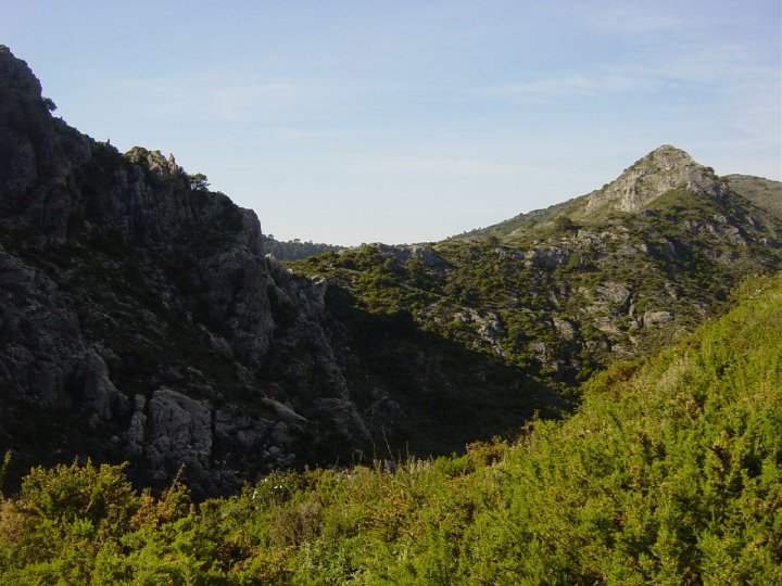
The Istán – Ojén – PR-A 167 Trail runs up through a dale known as Cañada de Juan Inglés, amid a wide variety of native vegetation, oleanders, palms, esparto grass, thyme... Before reaching Ojén, we can see a cross known as La Cruz de Juanar, as well as a Refuge and Viewpoint of the same name.
The PR-A 167 starts just behind Hotel Altos de Istán, at the foot of the Sierra Blanca mountains. To the left, looking towards the mountains, we find a track that leads up to a small quarry, which we follow to an esplanade where we can enjoy magnificent views of Istán.
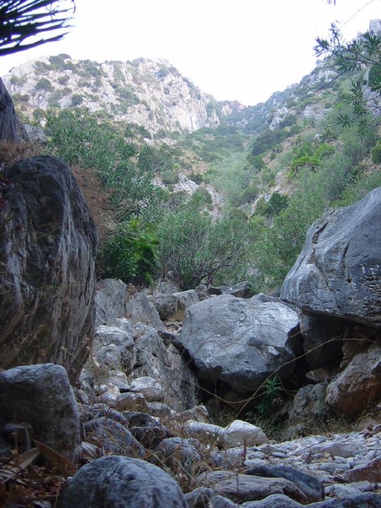
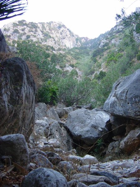
We continue along a small path that takes us to a retaining wall. Once there, we walk up through a dale known locally as Cañada de Juan Inglés.
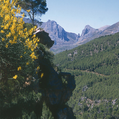
About 3,000 metres from the start, we come to a dry, rocky riverbed on our right. About 300 metres further up, we take the path to the right, passing by a huge rock on our left that marks the start of the most demanding section of the route. Continuing up, there is a large area of level ground known as Los Arenales. At the top of the pass we can see Juanar, with its pine groves and its south-facing Cross.
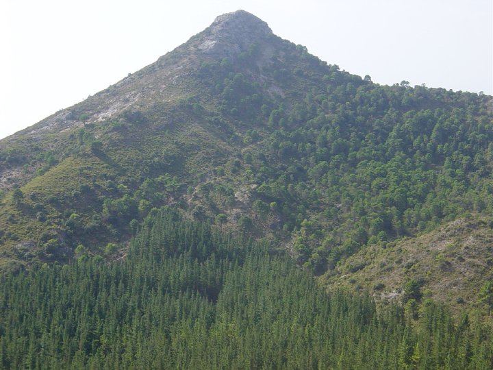
From here, the trail continues down along a stony path leading to a pine grove. At the next junction, we carry straight on, though the left-hand path would take us to the cross known as La Cruz de Juanar and then to the peak of La Concha, where we could join up with the Istán-La Concha - PR-A 135 trail.
Continuing along our path, the pine forest makes way for an olive grove. A few metres ahead, we find an old refuge called El Refugio de Juanar, now a Hunting Rehabilitation and Research Centre.
Leaving the refuge behind, we reach a track which, to the right, leads to a viewpoint known as Mirador de Juanar. On reaching the track, we turn left and walk down about 1,000 metres, where the trail to Ojén appears to our right, a few metres before a sharp bend. The trail leads into another pine grove before winding its way downhill.
Some 1,000 metres from this downhill section, there is a junction where we turn left and continue down a further 1,000 metres to a tunnel that we use to cross the road. After the tunnel, we see a house in a cherry orchard on our left. We continue down along a trail used by cars.
A little further down, after crossing a fence, we take the first path to the right, continuing almost to the end, where there is a sharp curve with a trail on the right which, after crossing an irrigation channel, brings us to the town of Ojén, the objective of this route.
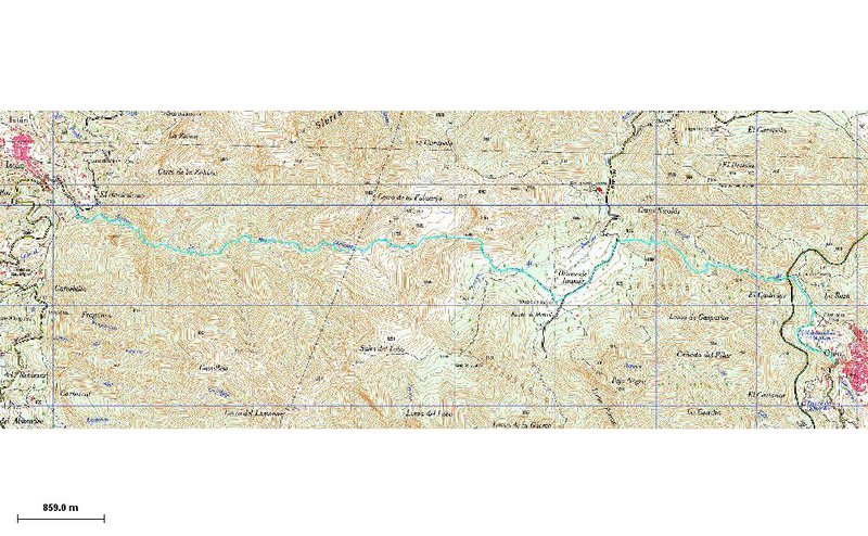
Type of Trail: Linear Trail Status: Approved and Signposted 2002. Total Length: 11.9 km. Sections: 1 Accessibility: It can be done on foot. Download Brochure
Itineraries
Services and infrastructure
Target audiences
Segments
Season


EXPLORE ANDALUSIA
EXPERIENCES


