
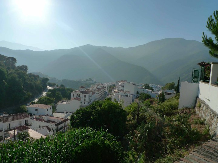
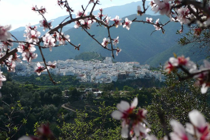
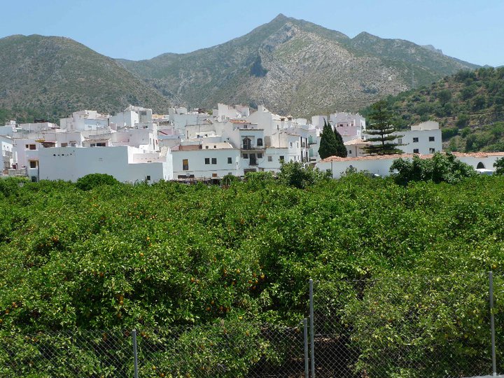
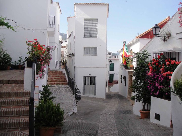
Istán - Pico de la Concha Trail - PR-A 135

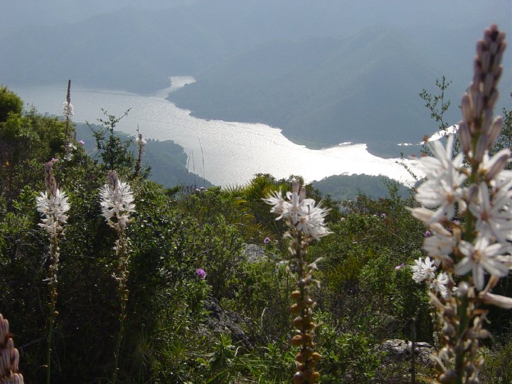
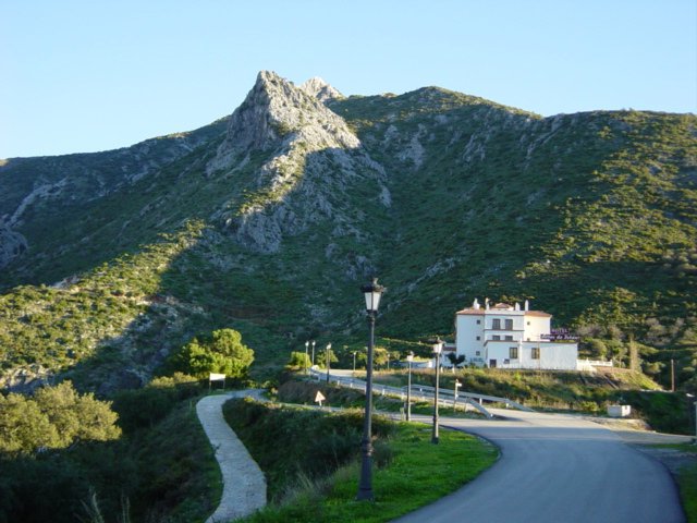
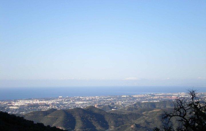
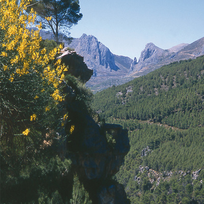
The Istán - Pico de la Concha - PR-A 135 Trail takes us to the highest peak in the Sierra Blanca, in the Sierra de las Nieves Natural Park, and from its peak we can see the mountains of Morocco, the Sierra Nevada as well as some impressive views of La Concepción reservoir.
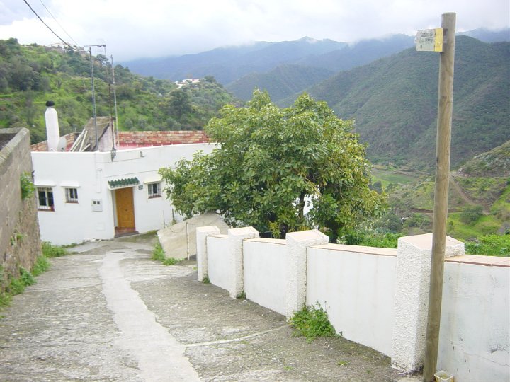
In Istán, we will take the path that goes behind the fenced water reservoir; it skirts the mountain diagonally to the right. We will reach the Llano de los Pilones plain, where we can ascend practically without a path, in a straight line, until we reach Puerto Currito, a mountain pass. At this point the path forks, and we must take the path on the right to reach the mountain pass of Puerto Ventana. From here the trail descends slightly before climbing back up to the Lomilla de Enmedio, will take us to the Puerto Gilito mountain pass. Looking out to the east, we will see the Gracia León ravine.
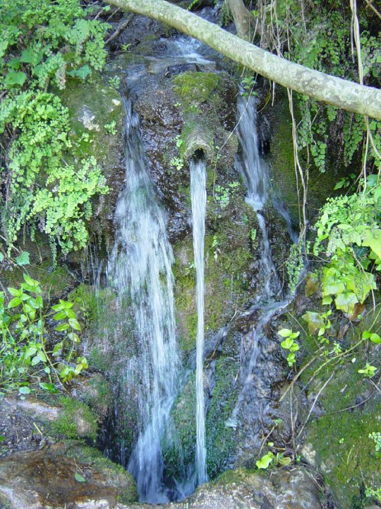
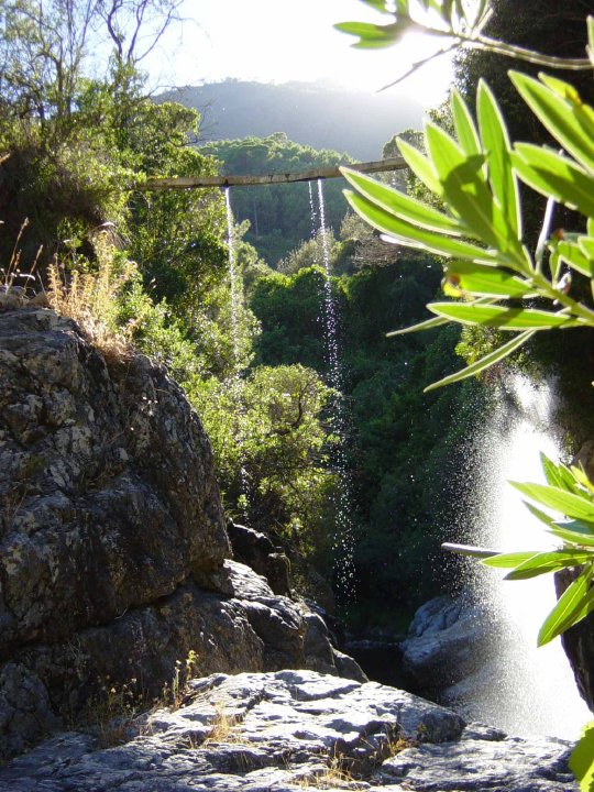
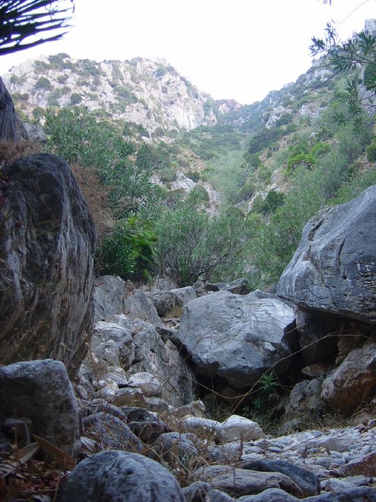
When we cross the Gracia León ravine we must take care not to lose the path, which at certain points will be difficult to see.
As we ascend to Puerto del Cifuentes we will see the next ravine that we need to cross, Cañada del Castillejo, and on the other side, the path climbs up towards the next mountain pass, los Corralillos.
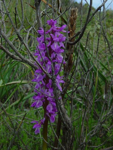
We will notice the profile of the Pico de la Concha, but there is no path, so we will have to climb the final part of the peak using rope, admiring the beautiful landscape that this place has to offer.
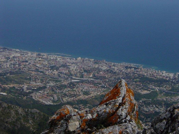
At the summit is a path that comes from the Cruz de Juanar which we will take, to the right. After a few hundred metres we will reach the peak, Pico de la Concha. Once we have reached the peak our efforts will be rewarded with the wonderful views that this landmark offers: from the mountains of Morocco to the Sierra Nevada, via el Torrecilla, the Rock of Gibraltar and all of the Western Costa del Sol.
We will return via the same way.
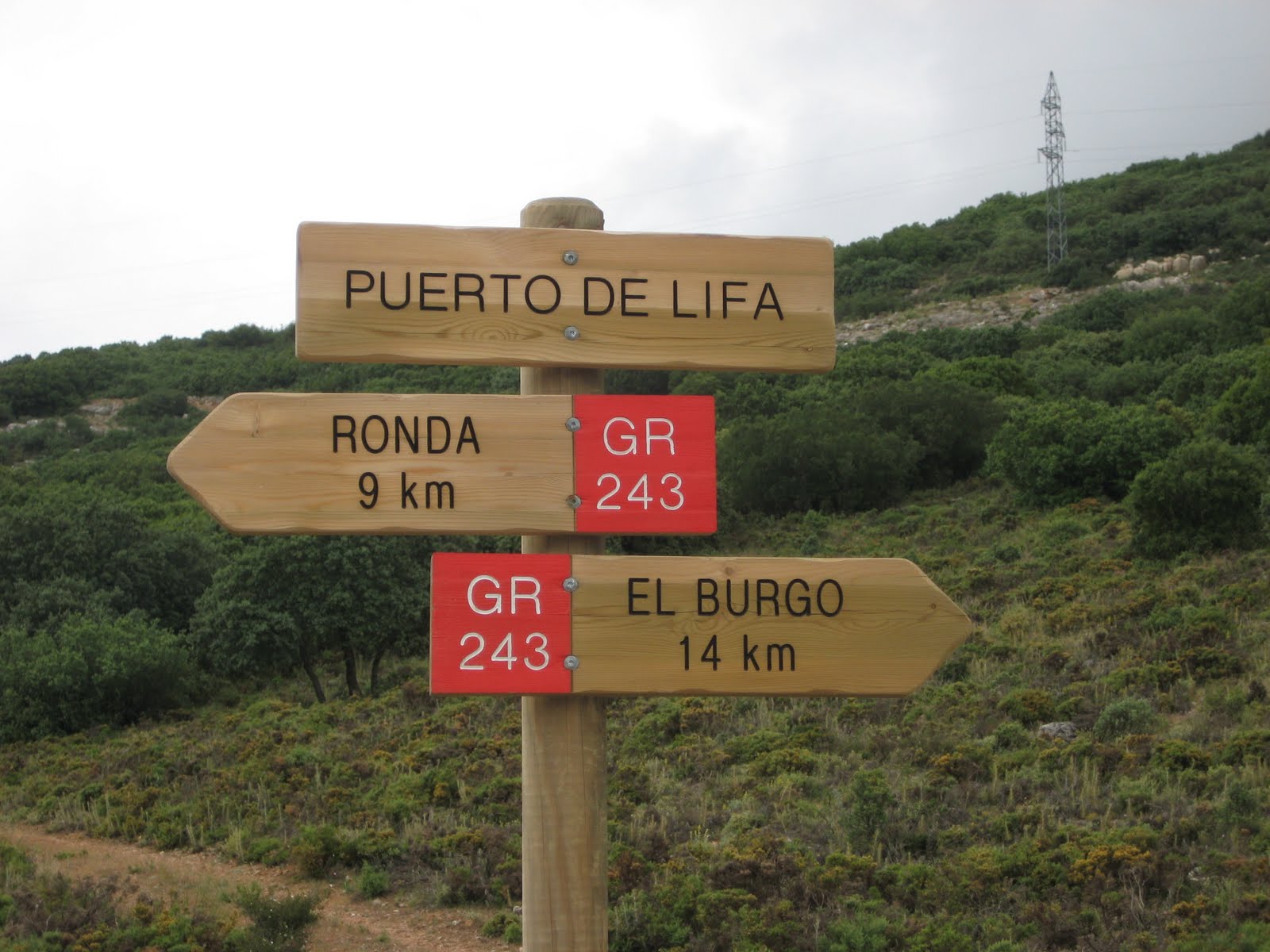
Type of Trail: Linear Trail Status: Approved and Signposted 2002. Total Length: 5.6 Km (one way) Sections: 1 Accessibility: It can be done on foot. Download Brochure
Itineraries
Services and infrastructure
Target audiences
Segments
Season
You may be interested


EXPLORE ANDALUSIA
EXPERIENCES


