
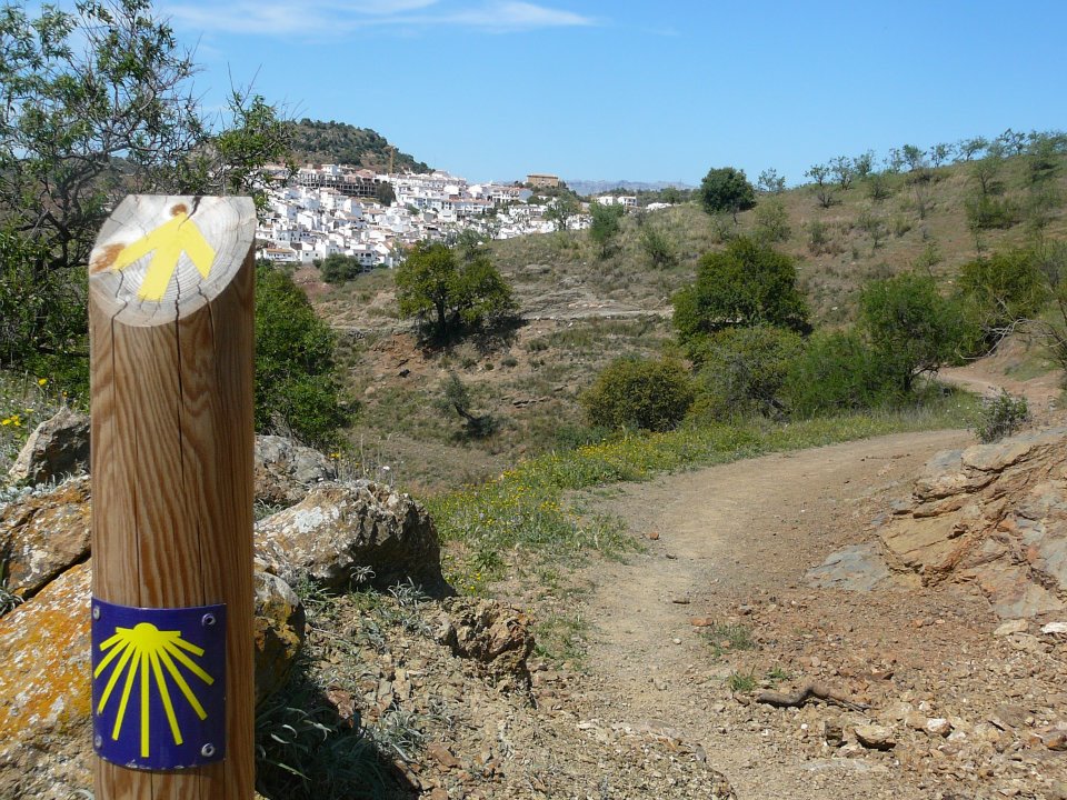
Gollizno Route Trail - PR-A 84

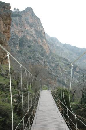
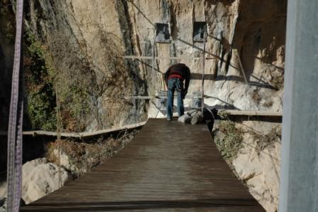
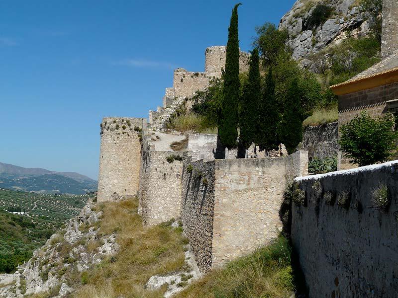
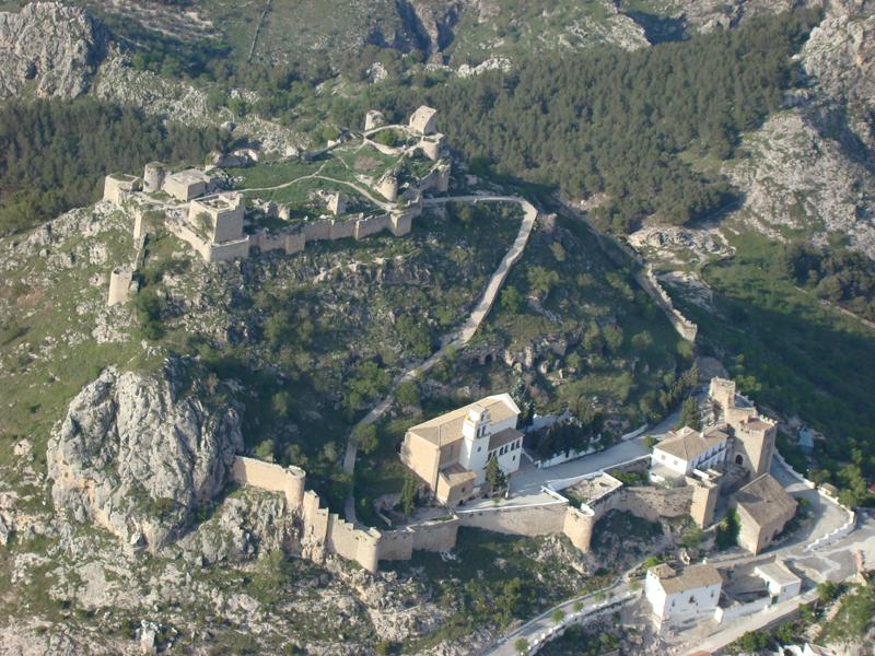
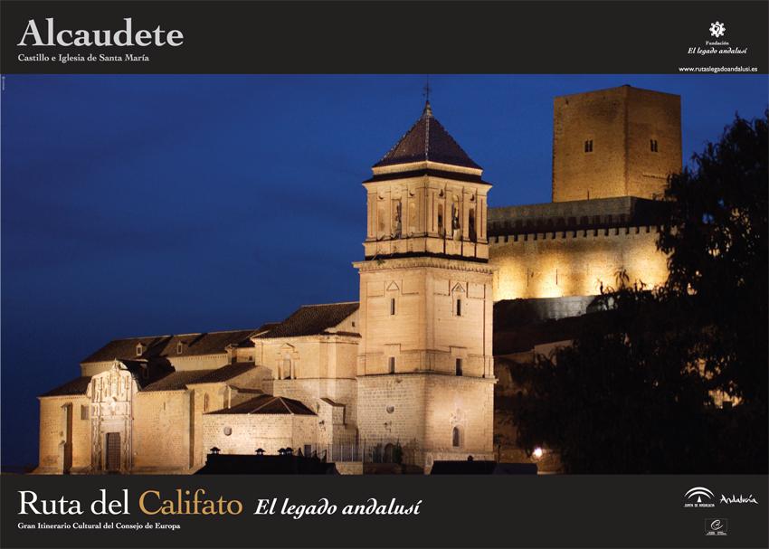
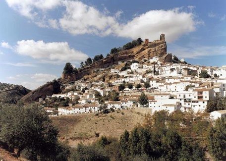
The Gollizno Route Trail - PR-A 84 starts on Calle Real, goes down Calle Esperanza to the end of the town of Moclín. Along the route, visitors can see the beauty of the landscape from its four viewpoints, cross the Velillos River using the recently restored hanging bridge and the footbridge, visit cave paintings near the Corcuela spring, or enjoy the incomparable historic heritage of Moclín, a reflection of its strategic location and the importance of this area in the past, where the highlights are Moclín Castle —one of the best defensive structures of the Nasrid era— and the watchtowers, strategically located at the highest points around the castle.
A steep path through the mountains and amongst the pine forests will take us to Los Olivares. On the way down to the village, we will see the whole of the Velillos river valley in a sea of olive trees.
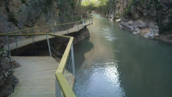
We enter the “Tajos de la Hoz”, a natural gorge carved out by the constant flow of the water, which —along with the lush riverside vegetation— will give a nice sensation to the hiker. The walk continues upstream, under the attentive watch of the Nasrid fortress.
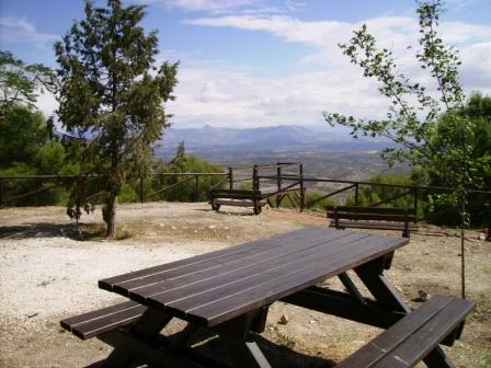
On reaching the old “Presa de la Luz” dam, the bridge —built so the traveller can continue the walk— will leave us next to a small grove, where we can relax and cool down.
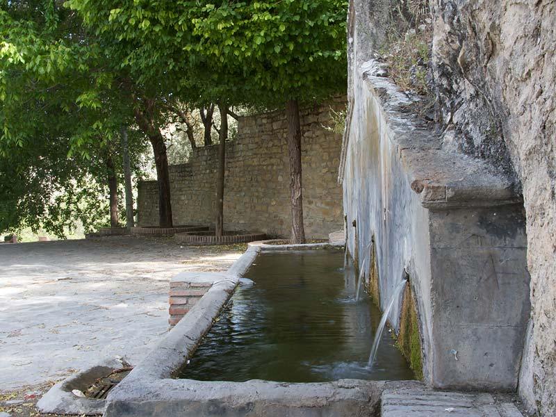
A narrow, zigzagging path will lead us out of this landscape of water and beauty and take us to the "Fuente de Corcuela” spring.
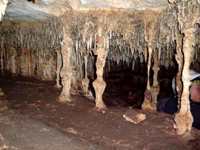
Following the route upwards, on the cliffs around the castle, are the Corcuela cave paintings from the Neolithic period.
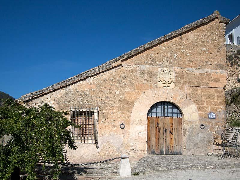
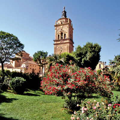
Following the trail, we arrive at the village of Moclín, where we will find the Pósito del Pan granary and the church of Nuestra Señora de la Encarnación, with the venerated “Christ of the Cloth” painting.
Next to the hanging bridge, before we reach the “Presa de la Luz”, there is a turn-off to the right taking the Old Road to Granada, which leads to Tózar, an option for those who would like to relive the adventures of the bandit “Parrón" —as narrated by Pedro Antonio de Alarcón— along the paths and in the caves.
Type of Trail: Circular. Trail Status: Approved and signposted 2013. Total Length: 9.2 km (with optional path 10.2 km) Stages: 1 Accessibility: It can be done on foot. Download Brochure
Itineraries
Services and infrastructure
Segments
Season
You may be interested


EXPLORE ANDALUSIA
EXPERIENCES


