
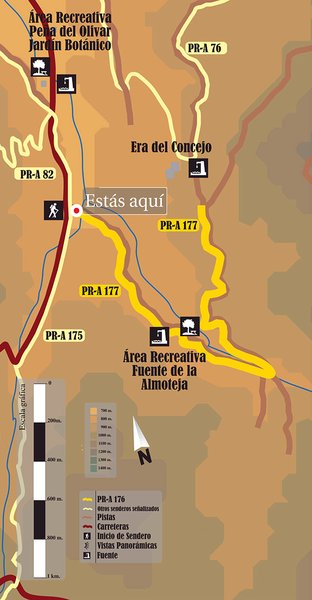
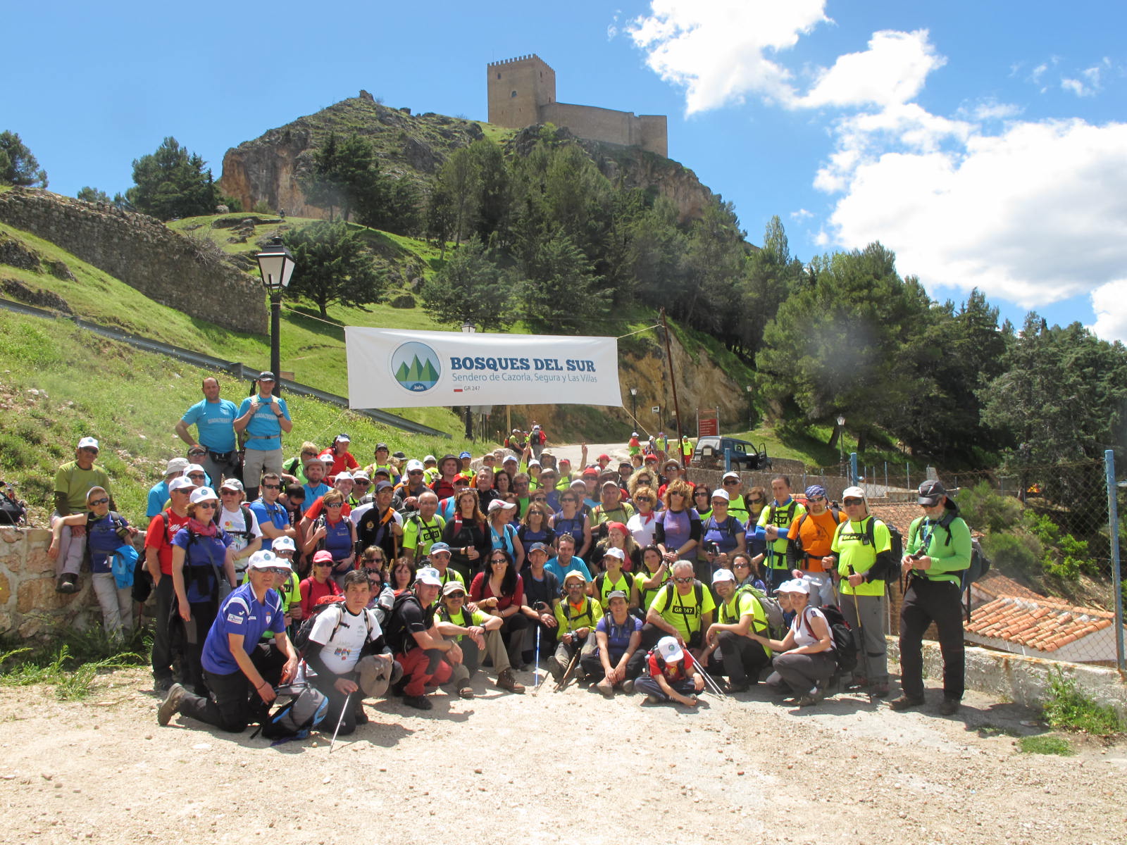
Junta de los Arroyos Trail – PR-A 177
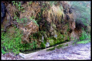
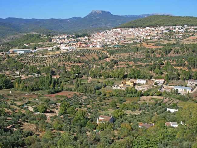
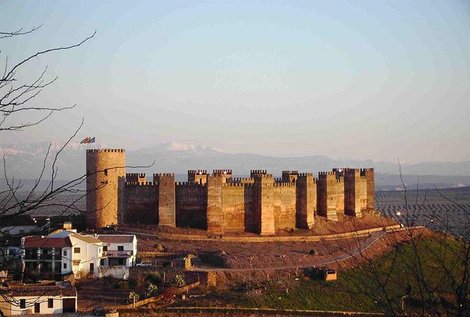
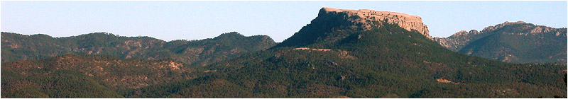
The starting point of the Junta de los Arroyos Trail – PR-A 177 is barely 500 m from the Recreational Area of La Peña del Olivar, halfway along the route (outbound) you'll find the Recreational Area of La Fuente de la Almoteja. It runs along the banks of the stream in the Barranco de los Tejos ravine. From the confluence of this with the stream of La Canalica it climbs up a slope from where you get magnificent panoramic views of El Bucentaina and La Piedra del Agujero.
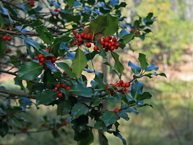
The area is very interesting for the noticeable contrast between the riverbank vegetation – with abundant willows and redoul shrubs - and the surrounding forests of Aleppo and black pines, where there is an abundance of Mediterranean undergrowth and scrub species, like rosemary, mastic, terebinth and juniper.
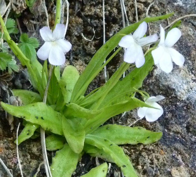
You can also observe plants of high ecological value, such as a variety of orchids and the butterwort (Pingüicola vallisneriifolia), a small carnivorous plant that grows in damp walls and is one of the most unusual native plants in the Nature Reserve of the Sierras de Cazorla, Segura y Las Villas.
Type of Trail: Linear Trail Status: Approved and Signposted 2004. Total Distance: 3.3 Km (one way) Legs: 1 Accessibility: It can be done on foot. Download Technical Datasheet
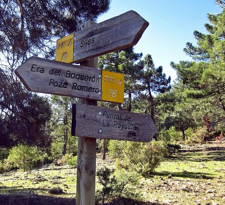
Itineraries

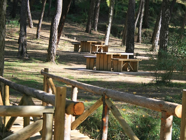
Services and infrastructure
Target audiences
Segments
Season
You may be interested


EXPLORE ANDALUSIA
EXPERIENCES


