
Los Molinos Trail (Urrácal) – PR-A 300
The Los Molinos Trail (Urrácal) - PR-A 300 runs along the south face of the Sierra de Las Estancias. It is in the district of Alto Almanzora. The geological diversity is quite evident in some places along the route. We can observe some unique formations such as the debris along some of the water channels of the gorges and watercourses that it runs through. Highlights include the Rambla Salada with a great abundance of marly materials with dissolution salts. The metamorphic and sedimentary materials can be clearly seen to distinguish them along the route.
The trail can be done by taking a short walk or a half-day excursion. It starts at the entrance to Urrácal town in Almeria, at the place called “La Cortija”. We will start at the road, in the direction of Somontín, towards the swimming pool and municipal sports court, where we will leave the asphalt behind and take an interior earth track. We will pass near the old water tank, which used to supply water to the village. We will see farmhouses, some deteriorated due to abandonment and the passing of time, others conserved or newly constructed.
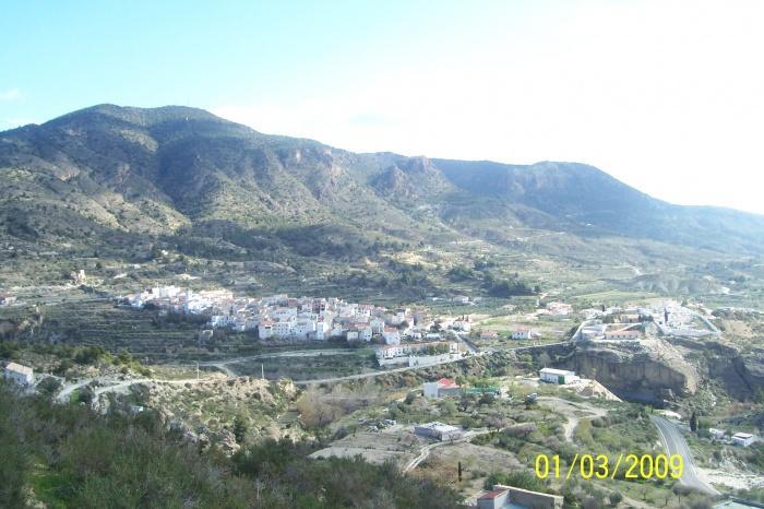
Once we get up to the crossroads that indicates the direction of the “depósito” and Urrácal, town the views of the town, the sierra de las Estancias (to the north) and the sierra de los Filabres (to the south) are stunning.
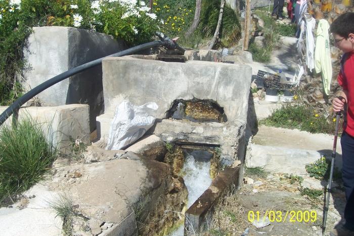
Now the path goes up and down by various farmhouses, some old mills, where the sound of running water is evident as we get closer to the irrigation channel where it runs cheerfully and manages to water fruit, flowers, vegetables, olive trees, almond trees… of the Urrácal vegetable garden.
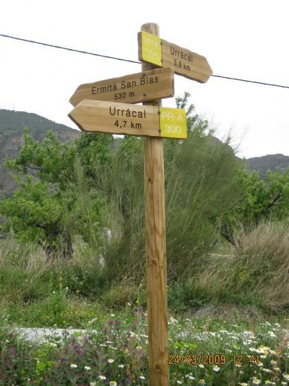
We reach a section of road linking the neighbouring village of Somontín to the village of Urrácal, and then we take an earth track again, the “Alcántara" path, which leads to the watercourse, and then we will find a crossroads (left: Urrácal; right: Olula del Río-Purchena) where we will go on straight ahead (looking both ways at all times in case a car comes!).
We will take the path of the sierra de las Estancias, which will bring us back to the area of "el Paúl". We continue towards "Topita”. And finally, we reach the town, which, after visiting some streets, we will end our route in "La Cortija”, the beginning of our route. Come and enjoy it!
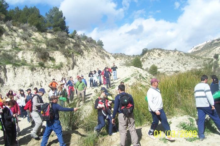
This path is for anyone who likes walking, enjoying nature, observing the countryside and discovering what the route has to offer. You can also enjoy activities like photography, drawing and interest in flora and fauna. It is not necessary to be physically fit or of a certain age, or to be a member of a club (although it is recommended), and as the path is signposted, it is difficult to get lost, which means that it is suitable for families.
Type of Trail: Circular. Trail Status: Approved and Signposted 2008. Total Length: 10 km. Sections: 1 Accessibility: It can be done on foot. Download Brochure
Itineraries

Services and infrastructure
Target audiences
Segments
Season


EXPLORE ANDALUSIA
EXPERIENCES


