
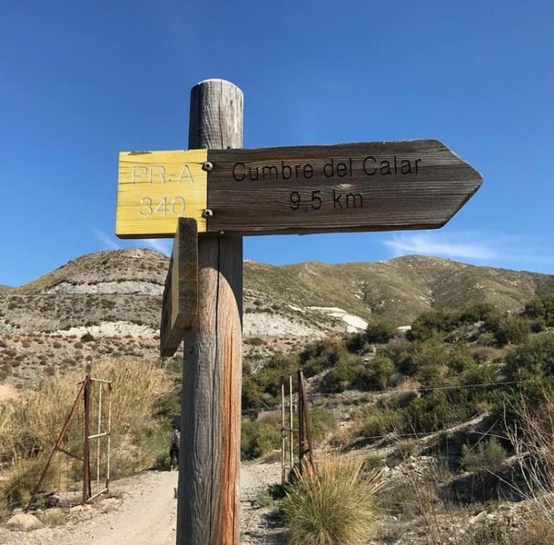
Rambla de Bolaños - Cima del Calar (Adra) Trail - PR-A 340

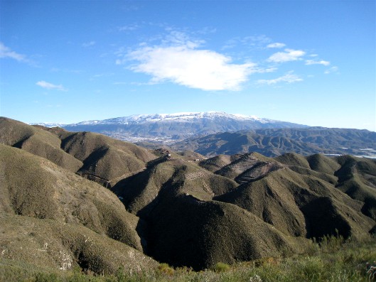
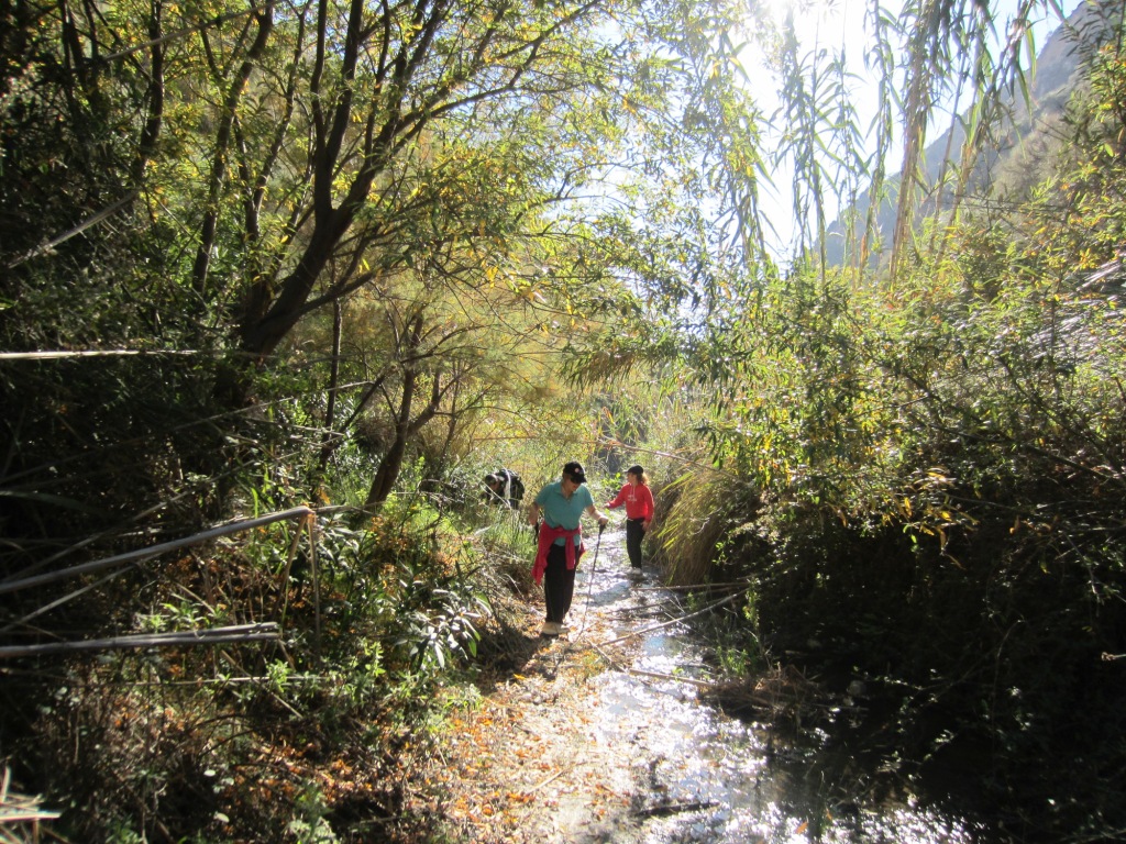
The Rambla de Bolaños trail, to the Calar Peak (Adra) - PR-A 340, runs through the Sierra de la Contraviesa. It forms part of the Low Alpujarras. The Río Grande de Adra serves as a border to the East of the mountain chain, which separates it from the Sierra de Gádor. The southern part, which the trail runs through, is quite steep, with deep ravines and many precipices.
The trail has tried to resurrect the old Adra to Turón road that the locals used to take between the villages, to communicate and exchange wares through the mule drivers and the malajiz (people who carried fish in wicker baskets).
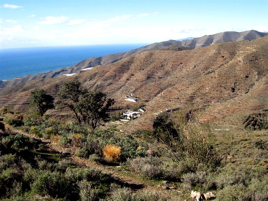
Once you pass the Cortijo de Bolaños country house, take the Z slope, so called because it ascends in a zig zag. It passes by several ruins until it reaches the ruins of the Cortijo del Pintao where, from its threshing floor, you can spot the Cortijo de Periano, below the Calares. Soon you will be able to see the great ruins of Cortijo del Candado. Nearby you can find the ruins of the Cortijo del Cercado, where the self-taught writer Enrique de la Sierra Valenzuela lived.
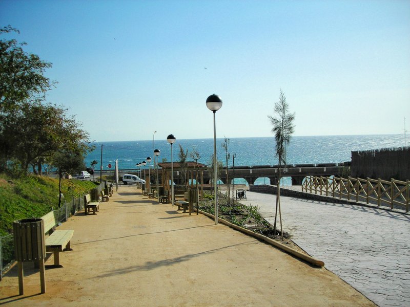
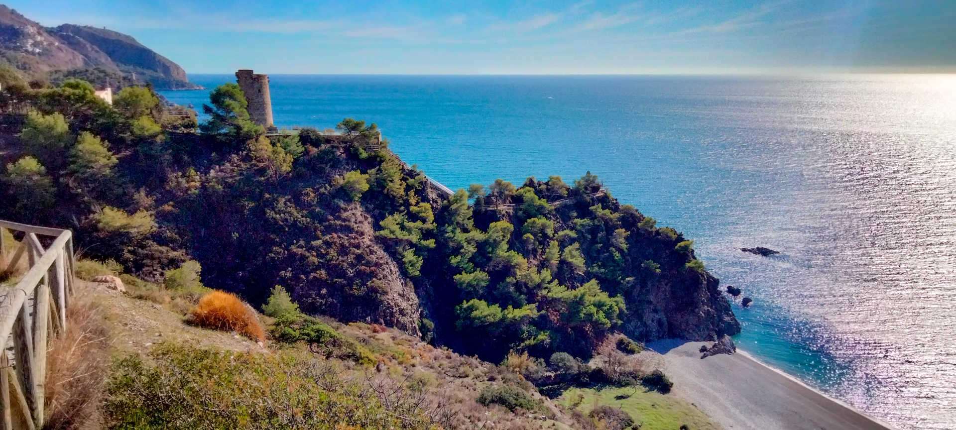
On the ascent up to Calar the remains of an old limestone quarry and the ruins of several country houses can be seen. The panoramic views from the trail are stunningly beautiful. This path connects the sea with the mountains, the tradition from deep within the Alpujarra with the modernity of the horizon overlooking the sea at Adra.
After the descent, the trail passes alongside the Cortijo del Agujerillo del Viento. Carry on going down, where you see a few hamlets in the area of Romera and Los Enríquez.
The long descent will take you once again near to Bolaños and will return to the starting point of the trail in the ravine, or Rambla, of the same name.
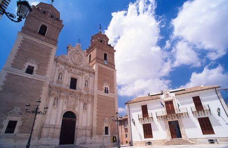
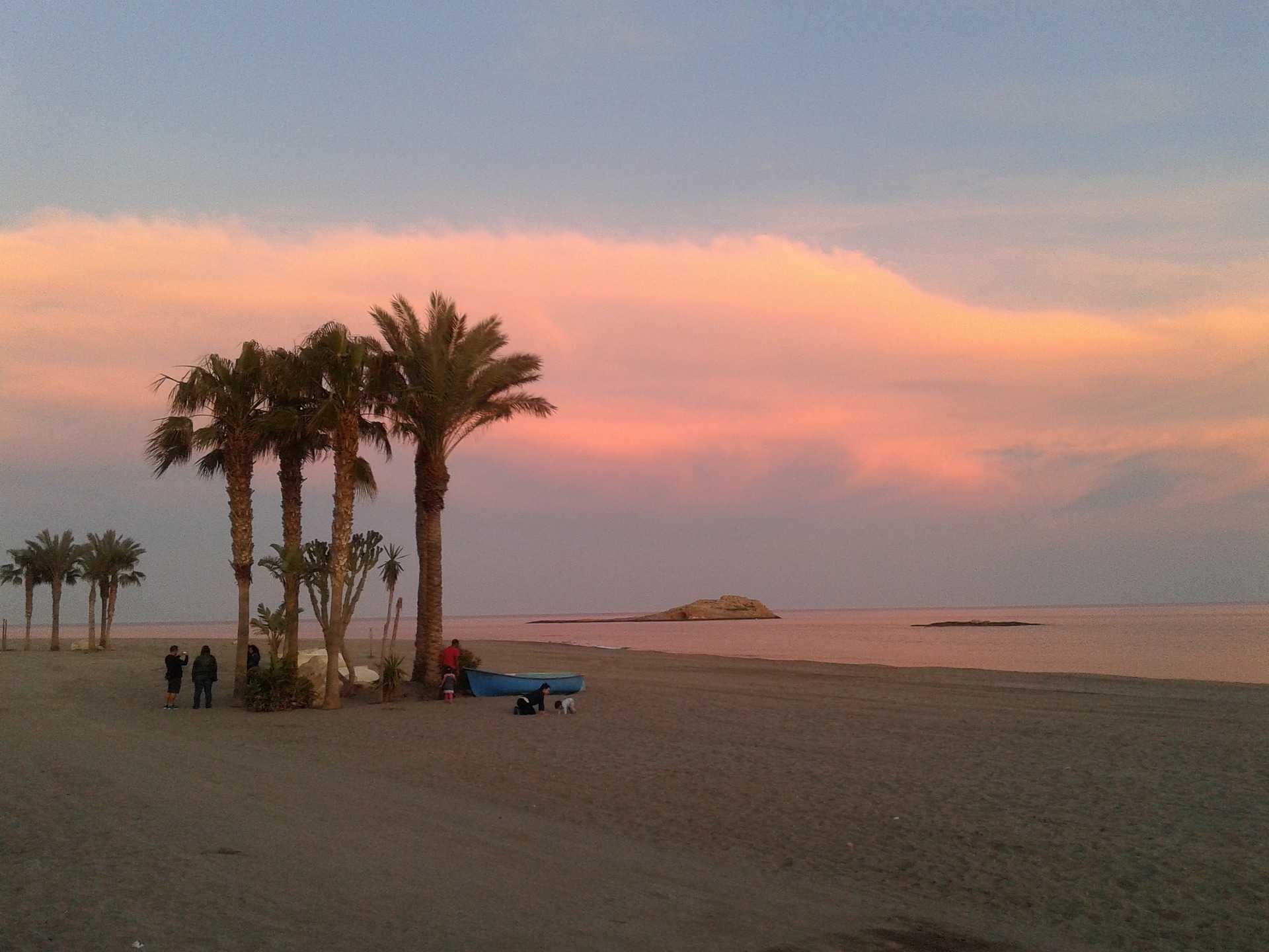
It is worth remembering the great importance of the most historical town of the province of Almería, Abdera (Adra), founded in the 8th century B.C. by the Phoenicians, which has always had links to fishing and the seafaring world.
Type of Trail: Circular. Trail Status: Approved and Signposted 2011. Total Length: 18.30 km. Sections: 1 Accessibility: It can be done on foot. Download Topographic Guide
Itineraries
Services and infrastructure
Target audiences
Segments
Season
You may be interested


EXPLORE ANDALUSIA
EXPERIENCES


